Toggle navigation
Mountains
Routes
Images
Trip Reports
Forum
What's New
People
Areas & Ranges
Articles
Trailheads
Canyons
Huts & Campgrounds
Albums
Logistical Centers
Fact Sheets
Lists
Custom Objects
Gear
Plans & Partners
WELCOME TO SUMMITPOST
SIGN IN
REGISTER
Selva de Oza-Normal
Additional Parents
Image
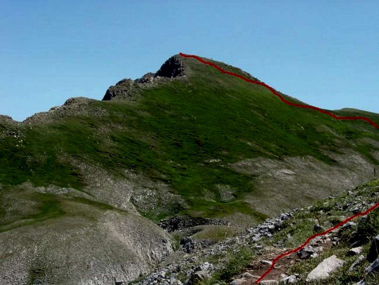
#4.Finally the summit. Sketch...
View High-Resolution Image
#4.Finally the summit. Sketch...
#4.Finally the summit. Sketch of route. 19 july 2003.
« PREV
NEXT »
Rafa Bartolome
on
Nov 1, 2003 7:17 am
Comments & voting
Other parents
Lat/Lon:
42.82660°N / 0.6688°W
Image ID:
32054
2845 Hits
75.46
% Score
6
Votes
Log in to vote
Comments
No comments posted yet.
to post!
Don't have an account?
Selva de Oza-Normal
(Route)
« PREV
Viewing
#3 of 12
GALLERY
NEXT »
Rafa Bartolome's Image Gallery
« PREV
Viewing
#671 of 6100
GALLERY
NEXT »
Castillo de Acher
(Mountain/Rock)
Loading....
×
You need to login in order to vote!
User Name
Password
Remember me
Forgot your password?
Log me out when I close my browser.
Keep me logged in all the time.
sign in as a user
Don't have an account?
Register now for FREE
Rating available
Suggested routes for you
People who climb the same things as you
Comments Available
Create Albums
Register Here


