5-25-2013 Dirtyface Peak
View Dirtyface Peak 5-25-2013 in a larger map
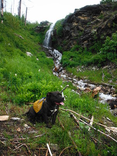
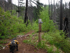
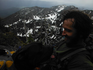
I climbed Dirtyface Peak today with my pup Automahn. I bailed on this one a few Weeks ago sure to poopy conditions on Stevens pass, and I was reminded last night when I read the recent report from nwhiker ree.
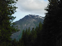
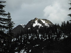
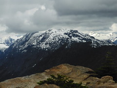
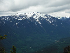
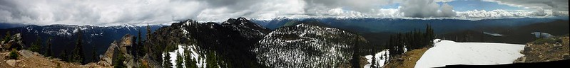
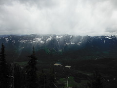
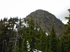
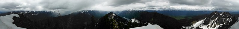
Weather was so cooperative it was almost eerie . It started with beautiful blue skies and patches of overcast that made way for sun breaks that ran like clockwork. When we reached the former lookout site at 11am I could see light rain approaching from behind Mount Mastiff and Howard. I hurried along, hoping to get as much distance and elevation behind me as possible before the rain could show up and slow me down. To my surprise, as the front left Nason ridge it parted around Lake Wenatchee and left us untouched, continuing NW over Napeequa Valley. For the remainder of the day I watched rain clouds engulf the surrounding mountains and ridges, and we found ourselves under only one five minute sprinkle and an even shorter lived snow flurry.
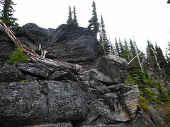
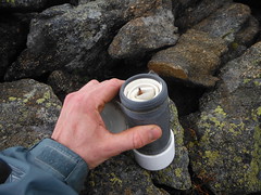
After dropping into the basin to the North we lost another hundred feet or so to avoid some cliffs,we crossed two short snow fields then re-ascended earlier than planned and continued along the top of the last half of the ridge to the base of Pt. 6223 without issue. From the next saddle over we also hugged the top of the steep ridge to the true summit. Auto needed help with two small moves along the way, and the scramble up the last 200 feet of the summit is way out of his league so he paced around and cried to anyone who might listen while I ducked out of view to sign the register and snap some pics.
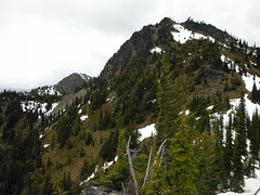
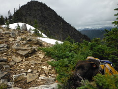
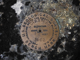
We scrambled up Pt 6223 on the return, which is pretty dog friendly except for the last 5 feet. There is a survey marker here, although I didn't see one on the true summit which is just under 20 feet higher.
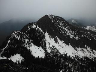
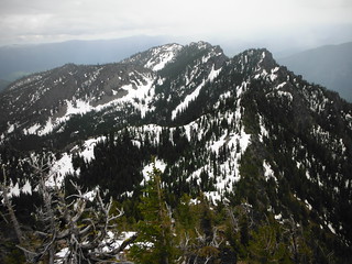
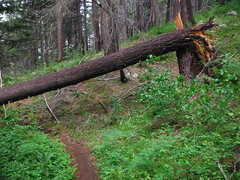
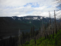
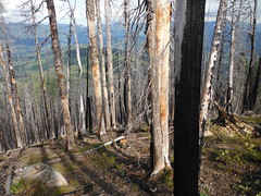
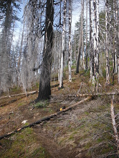
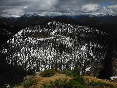
Nearly everything North face is covered in 2-4 feet of well consolidated snow. Under thick canopy the surface is too firm to get a solid bite with microspikes, and we found ourselves in several steep exposed traverses that made an ice axe indispensable. On the way out I noticed footprints from at least 2 others on the trail below the lookout, and met a group of 4 at the TH on their way up for an overnight.

~14 miles round trip
~6000 feet elevation gain
10 hours car to car with plenty of time for pictures and sunbathing.
pictures soon to come
Comments
No comments posted yet.
