
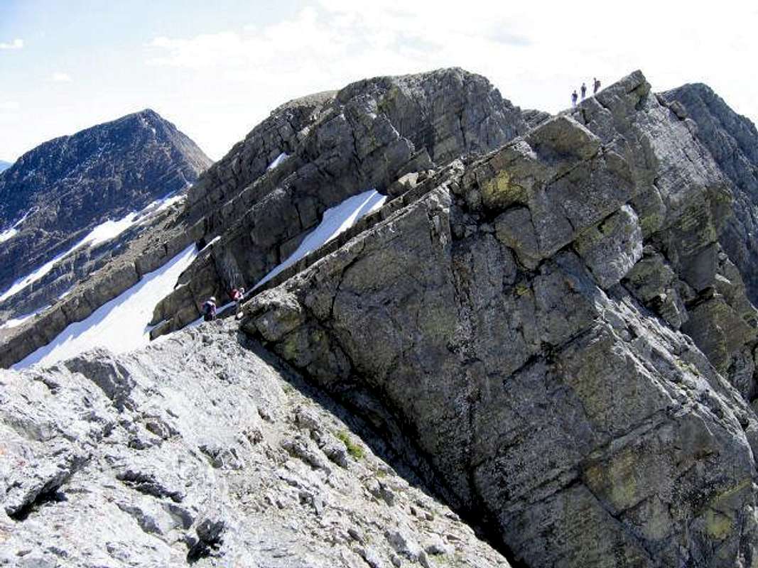
A good illustration of the...
A good illustration of the slabs which must be crossed to reach the final ascent. This picture taken on the descent, so is looking south; the route wraps around to the left of the dome, then goes right. Buck Peak is the left background.
Photo by Vernon, July 30, 2005.


