Toggle navigation
Mountains
Routes
Images
Trip Reports
Forum
What's New
People
Areas & Ranges
Articles
Trailheads
Canyons
Huts & Campgrounds
Albums
Logistical Centers
Fact Sheets
Lists
Custom Objects
Gear
Plans & Partners
WELCOME TO SUMMITPOST
SIGN IN
REGISTER
Mount Jefferson
Additional Parents
Image
A panorama of the Northern...
View High-Resolution Image
A panorama of the Northern...
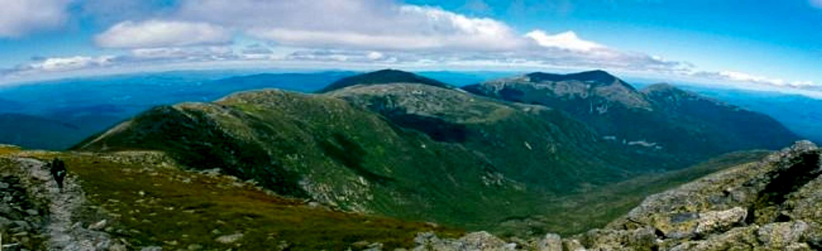
A panorama of the Northern Presidentials from the Gulfside Trail. From left to right are Mts. Clay, Jefferson, Adams and Madison. The Great Gulf is in the foreground. August 1997
« PREV
NEXT »
CharlesD
on
Apr 1, 2004 11:43 am
Comments & voting
Other parents
Lat/Lon:
44.30400°N / 71.318°W
Image ID:
48056
5375 Hits
79.76
% Score
11
Votes
Log in to vote
Comments
No comments posted yet.
to post!
Don't have an account?
Mount Jefferson
(Mountain/Rock)
« PREV
Viewing
#9 of 117
GALLERY
NEXT »
CharlesD's Image Gallery
« PREV
Viewing
#45 of 325
GALLERY
NEXT »
×
You need to login in order to vote!
User Name
Password
Remember me
Forgot your password?
Log me out when I close my browser.
Keep me logged in all the time.
sign in as a user
Don't have an account?
Register now for FREE
Rating available
Suggested routes for you
People who climb the same things as you
Comments Available
Create Albums
Register Here


