
A scan of the NYNJTC detail...
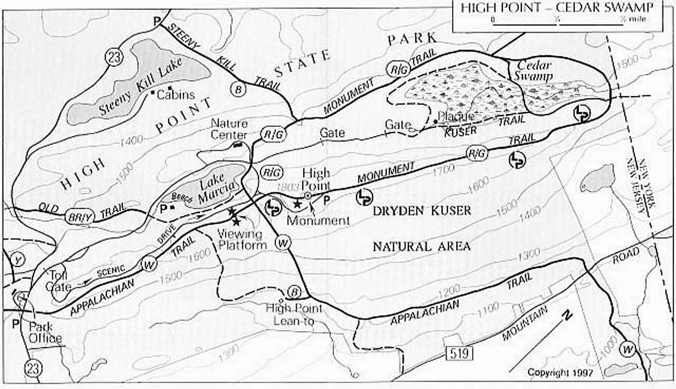
A scan of the NYNJTC detail map of the High Point Monument area. North is to the upper right. Circled letters on trails refer to blaze color (W=white, B=blue, etc). The main road (US23) runs through the area on the left side of the map and the main AT trailhead is in the lower left near the park office.


