A topographic map of routes...
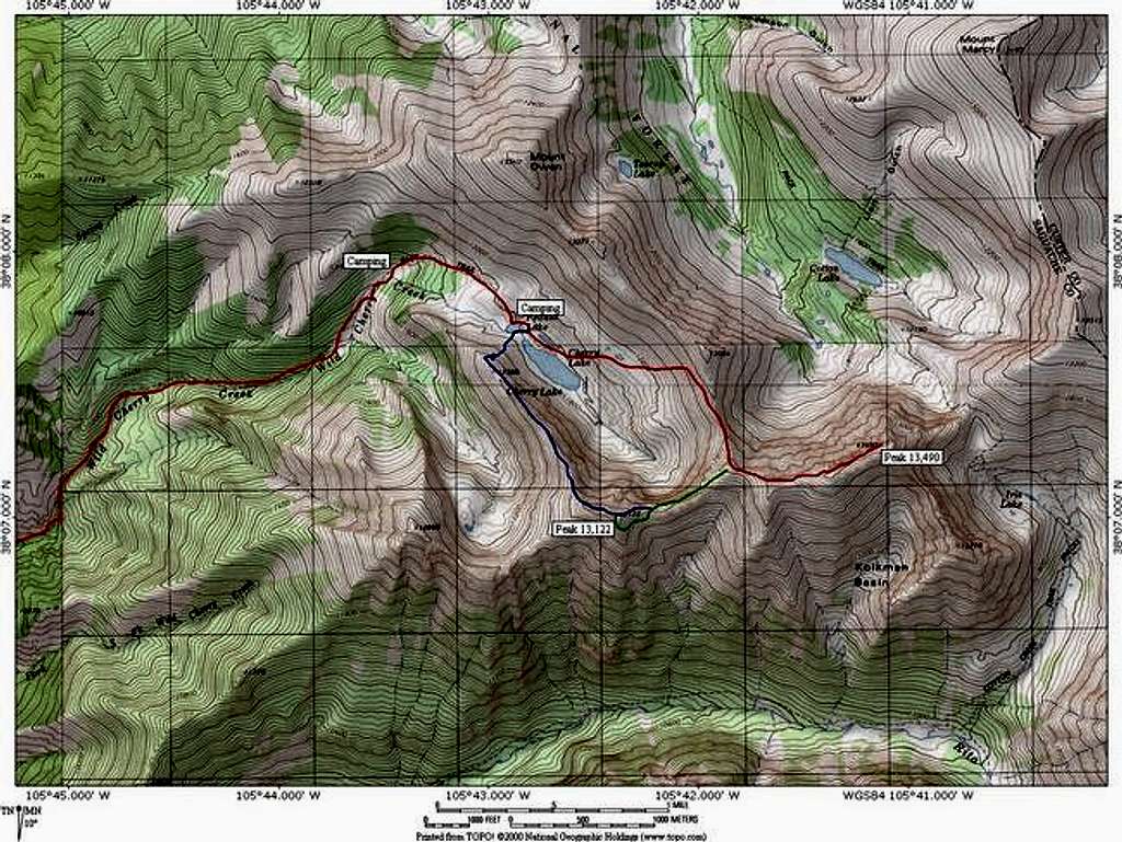
A topographic map of routes on Peak 13,490 and Peak 13,122. The red route is the 6.34 mile long rout up Cotton King Peak. The green route is the 0.61 mile long connecting ridge to Wild Cherry Peak. The Blue Route is the 1.36 mile long Colonelpyat Cirque Spanning Special. I hope jim will describe his route in full. Jon Bradford


