Toggle navigation
Mountains
Routes
Images
Trip Reports
Forum
What's New
People
Areas & Ranges
Articles
Trailheads
Canyons
Huts & Campgrounds
Albums
Logistical Centers
Fact Sheets
Lists
Custom Objects
Gear
Plans & Partners
WELCOME TO SUMMITPOST
SIGN IN
REGISTER
Cascade Volcanoes
Additional Parents
Image
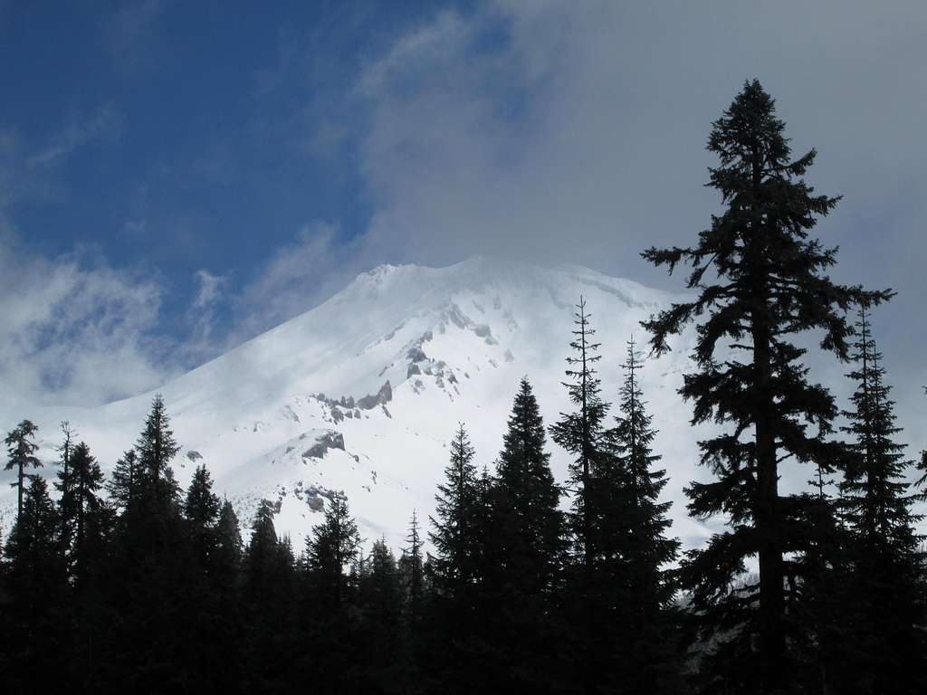
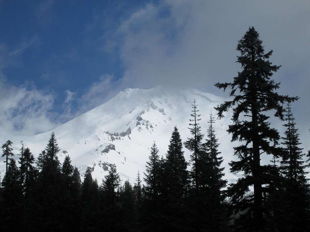
A view of Mount Shasta through the trees, April 2013
View High-Resolution Image
A view of Mount Shasta through the trees, April 2013
The winds that day were up to 120 mph above 10,000 feet on Mount Shasta. Needless to say we did not summit. Photographer: Jackson Herring
« PREV
NEXT »
PanamaRed
on
Apr 15, 2013 3:00 pm
Comments & voting
Other parents
Lat/Lon:
41.41000°N / 122.195°W
Image Type(s):
Scenery
Image ID:
846479
1594 Hits
75.81
% Score
6
Votes
Log in to vote
Comments
No comments posted yet.
to post!
Don't have an account?
Cascade Volcanoes
(Area/Range)
« PREV
Viewing
#82 of 163
GALLERY
NEXT »
PanamaRed's Image Gallery
« PREV
Viewing
#200 of 888
GALLERY
NEXT »
Mount Shasta
(Mountain/Rock)
Loading....
The Agony of Defeat
(Trip Report)
Loading....
×
You need to login in order to vote!
User Name
Password
Remember me
Forgot your password?
Log me out when I close my browser.
Keep me logged in all the time.
sign in as a user
Don't have an account?
Register now for FREE
Rating available
Suggested routes for you
People who climb the same things as you
Comments Available
Create Albums
Register Here


