La montagna chiama i suoi figli, ed essi rispondono fedelmente al suo appello…
Osvaldo Cardellina, Diario alpinistico, 1964-65
Page texts: @ OsvaldoCardellina"Osva", passed away on May 2, 2022. Page owners: Christian Cardellina e Osvaldo Cardellina. Any updates from September 12, 2022: Antonio Giani, page administrator, friend and climbing companion.
Testi della pagina: @ OsvaldoCardellina "Osva", scomparso il 2 maggio 2022. Proprietari pagina:Christian Cardellina e Osvaldo Cardellina. Eventuali aggiornamenti dal 12 settembre 2022: Antonio Giani, amministratore della pagina, amico e compagno di salite.
French & Valdôtain Overview
This partial crossing is part of the wide and long Valley of Gran San Bernardo. The ancient "Via Francigena, Franchigena, Francisca or Romea", is part of a set of streets, also called Romee streets, which led from Central Europe, particularly from France, but also from Canterbury to the City of Rome. The first archive documents that speak of the existence of the Via Francesca date back to the ninth century, referring to a stretch of road in the countryside around Chiusi, in the province of Siena, while in the tenth century the Bishop Sigerico described the path of a he made a pilgrimage to Rome for an audience with the Pope, then rietrare in Canterbury, by means of what is already the twelfth Century will be recognized "Via Francigena". This document gives a testimony of this important and significant network of roads in the European Middle Age linked to the Pilgrims & Traders traveling along a seasonally fitting into what was considered as the "Way of the Alps", in relation to the events dictated by the political situation in the local landscapes as well as the widespread religious beliefs related to the known and popular Relics of the Saints and Martyrs of the Christian Faith. We do not claim to let you all go all, but we are content to offer an important element of it that reflects the final journey in Aosta Valley to the Great Saint Bernard Pass by doing the same with a round-trip from the City of Aosta, or by immediate surroundings. So I do not give a full path or the alternative formulated by the relationship travel oldest dating back to 990 and accomplished by Sigerico, Archbishop of Canterbury, after having received the "Pallium" by the Pontifex Maximus or that made in 1154 by the Benedictine Monaco Nikulàs of Munkaþverá during re-entry at his home in Iceland from the Holy Land, but an itinerary geared more to the Hikers not to "Pellegrini", a path recently rediscovered and then curretly returned to fashion and that does not exclude the first value for which since 1994 she has been declared, on a par with other popularly renowned and famous, "Cultural Via by Europe Council". At least until the visit Hospice Great St. Bernard, without precluding the possible descent to Bourg St. Maurice in Switzerland.
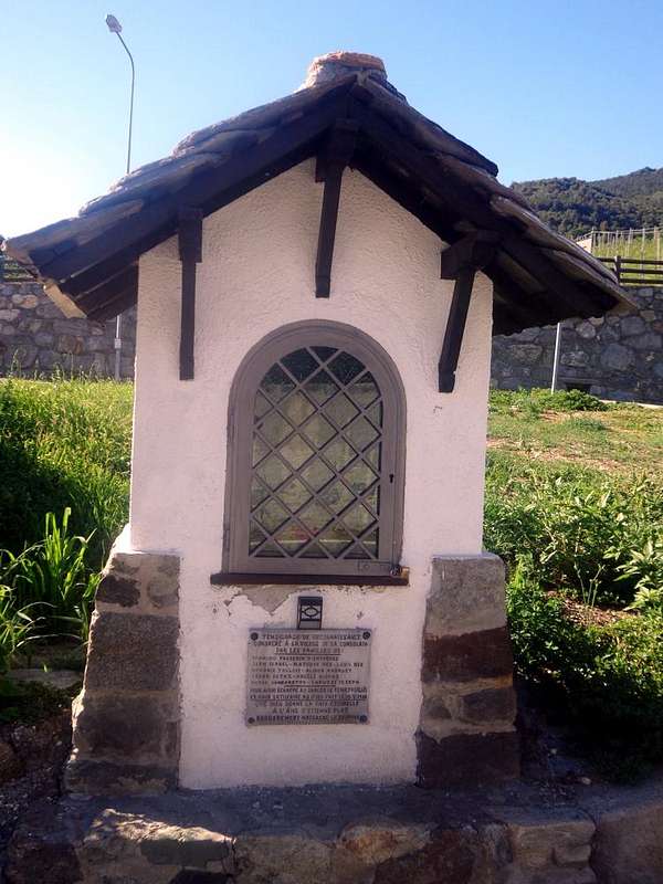
From St. Christophe at the beginning of the "Via Francigena" passing through Roisan Common, by Antonio
Questa traversata rientra in quelle della larga e tantopiù lunga Valle del Gran San Bernardo.La mistica "Via Francigena, Franchigena, Francisca o Romea", fà parte di un insieme di vie, dette anche vie Romee, che conducevano dall'Europa Centrale e Nordica, in particolare dalla Francia ma anche dalla Città di Canterbury, fino alla "Città Eterna" di Roma. I primi documenti d'archivio che parlano dell'esistenza della Via Francesca risalgono al IX° Secolo, riferiti a un tratto di strada nell'agro di Chiusi, in provincia di Siena, mentre nel X° secolo il Vescovo Sigerico descrisse il percorso di un pellegrinaggio da lui effettuato a Roma per ottenere udienza da parte del Pontefice, per poi rientrare a Canterbury, per mezzo di quella che già dal XII° Secolo sarà riconosciuta "Via Francigena". Questo documento dona una testimonianza importante nonché significativa di questa rete di vie di comunicazione Europea in epoca Medioevale collegate tra loro che i Pellegrini ed i Commercianti percorrevano a stagionalmente inserendosi in quella che era considerata come l'abituale "Via delle Alpi", sempre in relazione agli avvenimenti dettati dalla situazione politica nei territori attraversati nonché delle diffuse credenze religiose legate alle Reliquie di Santi e Martiri di Fede Cristiana. Noi non pretendiamo di farvela percorrere tutta, ma ci accontentiamo di offrirvi un tratto importante della medesima che rispecchia il viaggio finale in Valle di Aosta fino al Colle del Gran San Bernardo effettuando il medesimo con un percorso di andata e ritorno dalla Città di Aosta o dagli immediati dintorni. Quindi non i percorsi completi formulati dall'Arcivescovo di Canterbury Sigerico nel 990, ricevuto il Pallium" dal Pontefice Massimo oppure l'alternativo effettuato nel 1154 dal Monaco Benedettino Nikulàs da Munkaþverá rientrando a casa sua in Islanda dalla Terra Santa, bensì un'itinerario rivolto più ad Escursionisti che non a Pellegrini, un percorso recentemente riscoperto e ritornato di moda non escludente la prima valenza per la quale dal 1994 la stessa è stata dichiarata, al pari d'altre sì rinomate, "Itinerario Culturale del Consiglio d'Europa". Almeno fino all'Ospizio del "Grande", senza precludere la possibilità di scendere a Bourg St. Maurice in Svizzera.
Saint Christophe Municipality towards Roisan & Gignod Commons, by Osw
But from where and to get where? Surely to make at least part of this itinerary, which appears to have begun in the ninth Century, starting from the bottom ie the City of Aosta to the immediately above Villages of Variney and Signayes or by the Municipality of Saint Christophe, then passing through the adjacent Roisan Commune. But you can also "shorten" the path by placing the starting just before the Municipality of Gignod, where a brown sign indicates clearly and that leads to Etroubles Common always in the forest, just above the State Road towards the Gran San Bernardo Hill. Indeed this is the way most-watched since it carries naturalistic interests and benefits in those days certainly not covered by the ancient Pilgrims and Traders, which harbored other interests and to which most interested go through the small hamlets or commons on the road. With a route we are going to illustrate just below ...
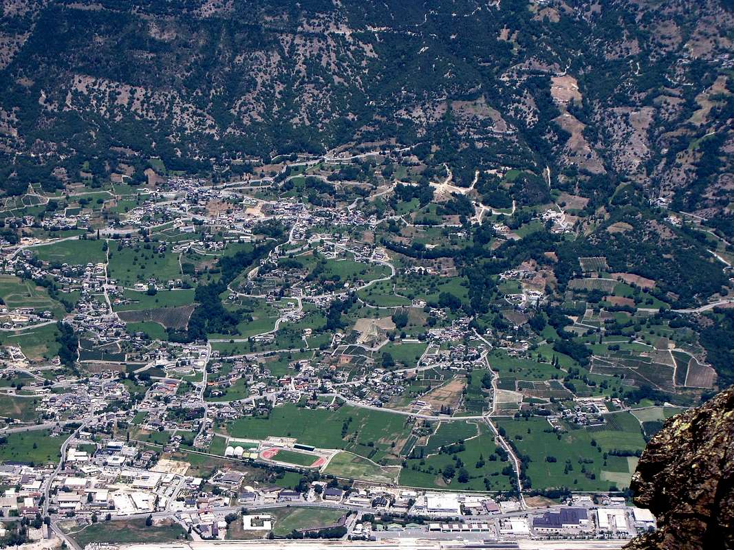
From Valley floor towards the Gran San Bernardo, by emilius
Ma partendo da dove e per dove arrivar? Sicuramente per effettuare almeno una parte di questo itinerario, che par abbia avuto inizio sin dal IX° Secolo, partendo dal fondovalle cioé dalla Città di Aosta verso le Frazioni di Variney e Signayes o dal Comune di Saint Christophe, passando poi attraverso quello di Roisan. Ma é possibile anche "accorciare" il percorso ponendo la partenza appena prima di Gignod, dove un cartello in marron lo indica chiaramente e che permette di raggiungere Etroubles sempre in mezzo alla foresta, appena al di sopra della Strada Statale per il Gran San Bernardo. Anzi é questa la via attualmente più seguita poiché comporta interessi naturalistici ed effetti benefici a quei tempi sicuramente non contemplati da Pellegrini e Commercianti, i quali nutrivano ben altri interessi ed ai quali più interessava passar tramite i piccoli centri abitati. Con un percorso che andiamo ad illustrare appena più avanti ...
Getting There
BY CAR:
From TORINO, MILANO, etc:Motorway A5. Exit at IVREA or Quincinetto (PIEDMONT) From IVREA Town: before in West to Saint Christophe, after in Northwest towards Roisan, Gignod, Etroubles, Saint-Oyen, Saint Rhémy-en-Bosses Municipalities. From Courmayeur Resort: before in East to Aosta, after in Northwest to Gignod, Etroubles, Saint-Oyen, Saint Rhémy en Bosses Municipalities.
From Aosta Town to Coumba Freida From Aosta City towards Gignod Commune(988m) with Great Saint Bernard SS.27 to alternative nearby Condemine Hamlet (1.137m); leaving left through Municipal Road to Grand e Petit Buthier Villages (1.302m, 1.439m) in Chaligne Comba. From this last, with private dirt farms roads and through Mendey, Roncaille, Rombason Pastures up to the Chaligne Shelter(1.936m), below Costa Tardiva (2.380m), Tardiva Hill (2.410m) and neighbor the Punta Chaligne (2.608m). From Etroubles Commune (1.270m), with dirt road and through Champ-Reclos (1.425m), Yettes (1.591m), Eteley (1.716m), fork before Praz-Gallet (1.626m), Ars (1.975m) Pastures on Arsy Vallon, up to Chaz d'Arsy (2.543mn); from this paths to Ars Pass (2.534m), Costa Labiez (2.632m). From Etroubles Commune(1.270m), with dirt road through Champex (1.411m; fork), Flassin de Meitin (1.654m), Flassin (1.700m), Tsa de Flassin (2.258m) Pastures on Flassin Vallon; from this paths to Fenêtre Pass (2.729m), Flassin Hill (2.605m), Testa Cordella (2.663m) and Tête Bois de Quart (2.248m). From Saint-Oyen Commune(1.377m), with State Road n°27 to alternative 1.502 meters; leaving North the same to great St. Bernard Hill, continue West to St. Leonard Fraction. From this to Citrin Vallon up to the Mont Flassin (2.772m) Citrin Hill (2.484m), Punta Valletta (2.801m) and La Raye du Sodzé (2.640m). From Saint-Oyen Commune(1.377m), with previous Municipal Road to Mottes (1.660m) Fraction, Farettes (1.666m) Village; from this, with path through Arp du Bois Dèsott Pastures (1.936m), alternative 1.959 meters to Serena Vallon up to the Hill Serena (2.547m) and Testa Serena (2.830m). Variant: continue West from Farettes Village to Saint Michel (1.732m) Fraction; from this last, tourning South always with Municipal Road, to Arp du Bois Dèsott Pastures.
From Etroubles and Saint Oyen to Grand Saint Bernard Basin and Pass From Saint-Oyen(1.377m), with previous road to Mottes, continue West-northwest to Devies Village (1.723m) at the beginning of Merdeux Comba; from this with paths through Merdeux Dèsott (1.919m), Cotes (1.930m), Manda (1.973m), Tsa de Merdeux (2.285m) Pastures to Malatrà Hill (2.928m). From Saint Rhémy en Bosses Commune(1.619m), through Municipal Road, on Merdeux Comba to Tsa de Merdeux (2.285m) and Malatrà Hill (2.928m). From Saint Rhémy en Bosses Commune(1.619m) to Tula Comba to Saulié Pass (2.817m), Aiguille des Cengles (2.869m) and Angroniettes Pass (2.936m). From Saint Rhémy en Bosses Commune(1.619m) to Grand Saint Bernard Valley up to the Crévacol Hill and Testa (2.498m, 2.610m) Saint Rhémy Hill (2.540m), Mont Rodzo (2.632m), Pain de Sucre (2.900m), Mont Fourchon (2.902m), Fenêtre de Ferret Hill (2.600m) and Grand Saint Bernard Hill (2.469m).
From FRANCE: through the Mont Blanc Tunnel to Entrèves-crossroads to Vény/Ferret Valleys - Mountain Guides of Courmayeur - La Saxe Rock Gym - Courmayeur. By Little Saint Bernard Pass, closed since November until half May to La Thuile Valley - Pré Saint Didier - Courmayeur. It is not necessary to take Motorway A5: you can drive on SS.26, in the direction of AOSTA - IVREA - TURIN.
BY PLANE:
Aeroporto "Corrado Gex" Saint Christophe (Aosta).
Route Description
Starting Aosta towards Gran San Bernardo Hill. This complete Zone which includes 7 Commons, noting that "Adret" means the most exposed to the sun and vice versa. More specifically the Area "du Central Adret" is composed by St. Christophe, Aosta, Roisan, Gignod, Etroubles, St. Oyen and St. Rhémy-en-Bosses Municipalities: the visit of this Eastern Area, which then expands to the North (Gran San Bernardo) and Northeast (Valpelline) comprises 7 Municipalities including Aosta. The starting point coincides with that of the second day and, crossing the Common of Saint Christophe, reaches the City of Aosta. Here of course the rest is more prolonged, given the huge amount of sites visited and of which we give a unique rapid and meager track. In this first part we must therefore calculate a good half day; then you can go to the Valley of the Gran San Bernardo (Municipalities of Roisan, Gignod, Etroubles, Saint Oyen and Saint-Rhémy en Bosses) and the branch to the Northeast in Valpelline (Municipalities of Allein, Doues, Ollomont, Valpelline, Oyace and Bionaz). Starting from an alternative in Regional Road, higher than the State, you reach the Municipality of Saint Christophe (584/619m; Churches of Santa Anna and San Cristofero) with overlying Fractions Sorreley (790; Church of St. Gottardo) and West of Senin (766/805m; Church of Saints Barbara and Michael). The descent reaches Aosta passing near the Castles of "Passerin d'Entrèves" and "Duca degli Abruzzi" or Jocteau and home to "Alpine Military School of Aosta". Here, in near the small Village of Busseyaz (664m) we find an old and round "Mound Celtic", currently under exploration (Tomb of an ancient burial of a Prince of the Salassians?). All these variants and variables (in the case of more detailed view of a site) make that the travel time can vary greatly both in reference to the starting point (Aosta, St. Christophe, Roisan or, higher, by Gignod) is , precisely, by which choice of visitation to be performed. On average, we give these times: 1h'00/1h'30 from Aosta or St. Christophe to Gignod; 0h'45/1h'00 Roisan by the latter; always Gignod 1h'15/1h'30 and finally, past St. Oyen Common, another little hour for St. Rhémy and this 2h'00/2h'30 to the Great Saint Bernard Pass. So a total of about 5h'30/6h'00. Finally, to the opposite direction, ie down from the hill, calculate a third less time.
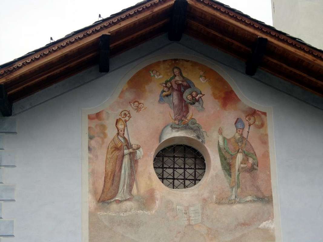
Variant "High": avoiding the city, you may with street in asphalt from Senin-Thovex attaining progressively the Villages Serod, Porossan (723m; Chapel of San Vittore) and Closellinaz Dessus (800m; Churches of St. Thomas of Canterbury, San Filippo Neri) Roisan reaching the junction with the SS.27 for the Gran San Bernardo.
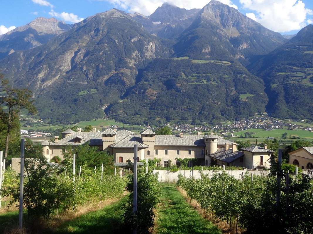
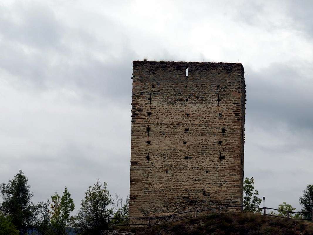
Always towards Gignod with Tour "Lords De Ginio" of 1536, by Osw
Partendo dal fondovalle verso il Colle del "Grande". L' Area completa comprende 7 Comuni, facendo notare che per "Adret" s'intende la zona più esposta al sole e viceversa. Più specificamente questa Zona detta "du Central Adret" risulta composta dai Comuni di St. Christophe, Aosta, Roisan, Gignod, Etroubles, St. Rhémy-en-Bosses: la visita di questa Area Orientale, che poi si espande a Settentrione (Gran San Bernardo) ed a Nordest (Valpelline) comprende 7 Comuni compreso quello d'Aosta. Il punto di partenza coincide con quello della seconda giornata e, attraversando il Comune di Saint Christophe, raggiunge la Città di Aosta. Qui logicamente la sosta é maggiormente prolungata, vista la enorme quantità di siti visitabili e dei quali diamo una esclusiva rapida e scarna traccia. In questo primo tratto bisogna quindi calcolare una buona mezza giornata; dopodiché si può proseguire verso la Valle del Gran San Bernardo (Comuni di Roisan, Gignod, Etroubles, Saint Oyen e Saint Rhémy-en Bosses) ed alla diramazione verso Nordest in Valpelline (Comuni di Allein, Doues, Ollomont, Valpelline, Oyace e Bionaz). Partendo da un'alternativa sulla Strada Regionale, più in alto rispetto alla Statale, si raggiunge il Comune di Saint Christophe (584/619 m; Chiese di Santa Anna e San Cristofero) con le soprastanti Frazioni di Sorreley (790 m; Chiesa di San Gottardo) ed a Ovest di Senin (766/805 m; Chiesa dei S.S Barbara e Michele). La successiva discesa raggiunge Aosta passando dai Castelli dei Passerin d'Entrèves e Duca degli Abruzzi o Jocteau "Scuola Militare Alpina di Aosta". Qui, nei pressi del Villaggetto di Busseyaz 664 m) troviamo un antico e tondeggiante "Tumulo Celtico", attualmente in fase di esplorazione (Tomba d'un antica sepoltura di un Principe dei Salassi?). Tutte queste varianti e variabili (nel caso di visita più particolareggiata di un sito) fanno si che il tempo di percorrenza molto possa variare sia in riferimento al punto di partenza (Aosta, St. Christophe, Roisan o, più in alto, Gignod) sia, appunto, da quale scelta di visitazione si vuole effettuare. Mediamente diamo questi tempi: 1h'00/1h'30 da Aosta o St. Christophe fino a Gignod; 0h'45/1h'00 da Roisan a quest'ultima; sempre da Gignod 1h'15/1h'30 ed infine, oltrepassando St. Oyen, un'altra oretta per St. Rhémy e da questo 2h'00/2h'30 al Grande. Quindi complessivamente circa 5h'30/6h'00.
Variante "Alta": evitando la città, si può con strada in affalto da Senin-Thovex raggiungere progressivamente i Villaggi di Serod, Porossan (723 m; Cappella di San Vittore) e Closellinaz Dessus (800 m; Chiese di San Tommaso di Canterbury e San Filippo Neri) arrivando a Roisan alla congiunzione con la SS.27 per il Gran San Bernardo.
Pilgrims & Hikers towards the Great St. Bernard Pass
Pilgrims & Hikers into the Great St. Bernard Valley
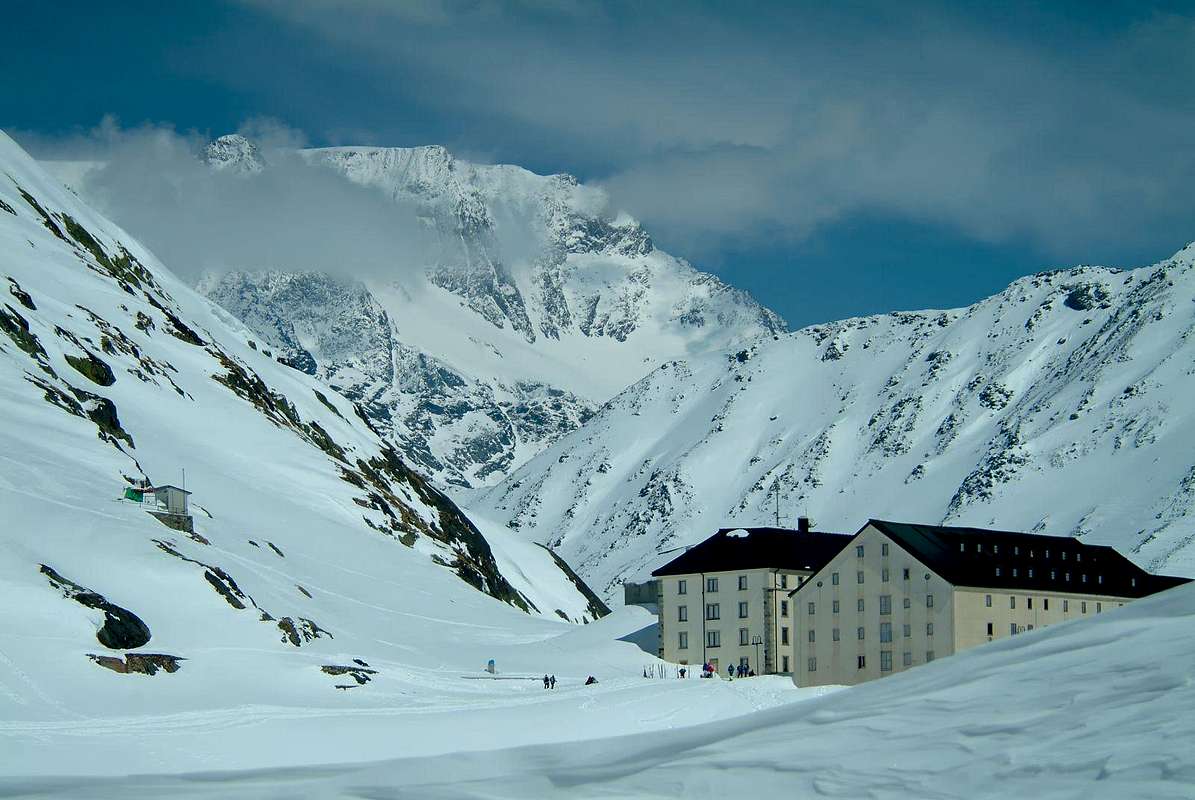
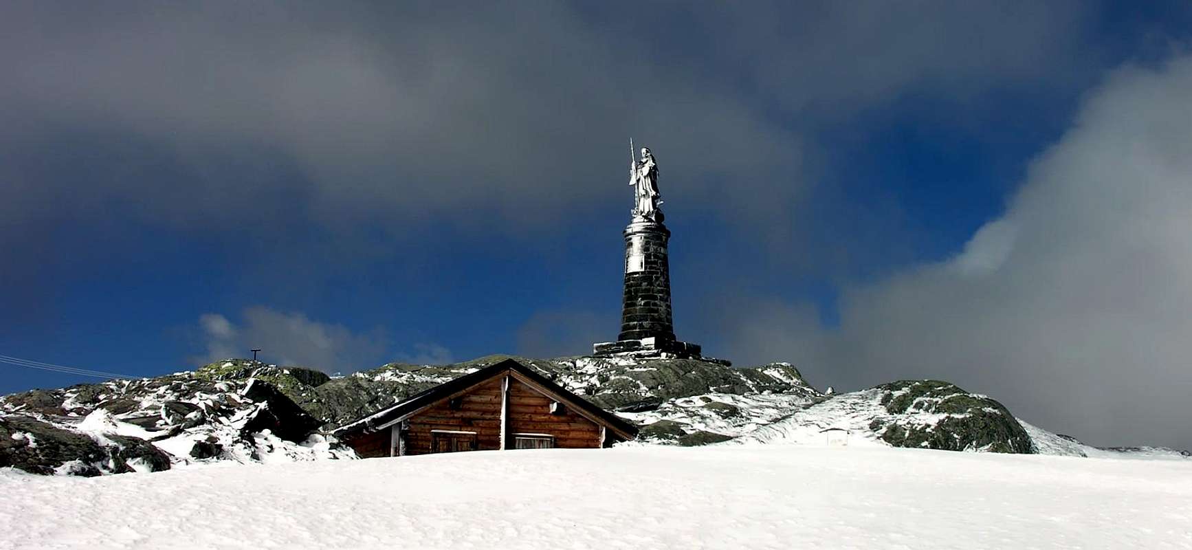
From Aosta with the SS.27 to the North to the Gran San Bernardo you reach the Hamlet of Variney (782m; Church of the "Holy Shroud"; Farm "the Myosotis") enters into the Municipality of Gignod (915/94m; "Maison-strong Arch" and Tour de Gignod; Churches of "Our Lady of Protection", San Ilario). From here the road bends more to the Northwest and, leaving left the detour to Condemine and Grand Buthier (1.137m, 1.302m; Church of S.S. Margherita Rocco), under the Punta Chaligne, gradually reaches the villages of la Clusaz (1.199m; "Farmhouse La Clusaz"), Echevennoz (1.233/64m; "Hostel Marietty") and finally the Municipality of Etroubles (1.280m, 15 km. from Aosta; Church of San Rocco), above the Rio Artanavaz. With a short diagonal to the West-northwest in the road comes to St.-Oyen (1.373m; Château Verdun) and, bending over to North and avoiding the deviation to the right for the Tunnel, to St. Rhémy-en-Bosses (1.632m; Church of 1700; Casemate to Bosses and Chevillen the XIII° Century), the input of the actual Valley of Gran San Bernardo. From here decisively starts the road to the Great St. Bernard and Entremont Valley): from the parking just after Saint-Rhémy Center towards Great Saint Bernard Valley, crossing under Saint Bernard Tunnel Road in altitude 1.860 meters, forks between Praz Dzentor/Plan d'Arc (1.876m), Praz d'Arc (1.992m), Fonteinte Pastures (+; 2.203m near "La Cantine d'Aoste"); continue with State Road to Montagna Baou below Tour des Fous, and after a short tunnel in a terminal diagonal to Great Saint Bernard Lake & Hill, through Southern Slopes, (2.469m; "Roman Mansio, Jupiter Statue, "Hôtel Italia", "Restaurant of Lake", Saint Bernard Hospice, Bazars, Exposition Saint Bernard Dogs, Ancient Morgue". E/F; 2h '30/3h '00)). From the pass possibility of descent to swiss Entremont Valley in Switzerland with Swiss State Road and towards the "Combes des Morts" nearby Le Tronchet mini parking or continue te descent to Hospitalet 2.116m), Bourg Saint Bernard (1.918m) near Mauvoisin long Dam, Bourg Saint Pierre (1.632m) to Orsières (879m). Notes: This route is useful in order to do the trail with snowshoes; otherwise you must reach the junction from the parking lot to the Dzellette Arp (1.870m) and, staying on shore hydrographic left (East) of Torrent Gr. St. Bernard, continue with the trail n° 13B/TAM/TdC/VA that, passing under Plan de Raye, rejoins the "Napoleonic Via" towards Alp Fonteinte. In addition, starting from Gignod, with, as mentioned above, a brown sign just before the village below and the "Tour De Ginio" built by the homonym Lords in 1536 and from which the name of Gignod, goes into the woods the restored and ancient "Via Francigena" in parallel and above the National reaches the Etroubles Common through off-trail comfortable and well marked path n° 1. The Hospice, properties of Monks, Rule of St. Augustine, built "ab immemorabilis" above a statue dedicated to Jupiter, while the actual statue of San Bernardo was inaugurated in 1905; in the Church are the relics of St. Faustina taken from the Roman catacombs and donated in 1828 by Pope Leo XII° to the Hospice. A "latere or fringes" of an ancient tombstone II°/III° Century that reads "Faustina dulcis anima or Faustina sweet soul". Moreover immediately behind is the ancient "Morgue", where the dead were withheld until the spring waiting for proper burial; many deaths occurred because of avalanches in an attempt to force a passage in the middle of winter. That occurred often in the "Vallon des Morts" and who registered even recently, is also in 2015 against three Ski-Mountaineers, while in the past mainly affecting Cigarette Smugglers and Pilgrims.
San Bernardo Statue on Gr. St. Bernard also Jupiter or Jovis Pass by Antonio
Pellegrini & Escursionisti all'interno della Valle del Gran San Bernardo
Da Aosta con la SS.27 verso Settentrione per il Gran San Bernardo si arriva alla Frazione di Variney (782 m; Chiesa del "Santo Sudario"; Agriturismo "le Myosotis") entrando poi nel Comune di Gignod (915/94 m; "Maison-forte Arch" e Tour de Gignod; Chiese di "Nostra Signora della Protezione" e San Ilario). Da qui la strada piega più a Nordovest e, lasciando a sinistra la deviazione per Condemine e Grand Buthier (1.137 m, 1.302 m Chiesa di S.S. Margherita e Rocco), sotto la Punta Chaligne, raggiunge progressivamente i Villaggi di la Clusaz (1.199 m; "Agriturismo La Clusaz"), Echevennoz (1.233/64 m; "Ostello Marietty") ed infine il Comune di Etroubles (1.280 m, 15 Km. da Aosta; Chiesa di San Rocco), sopra il Rio Artanavaz. Con un breve diagonale ad Ovest-nordovest la strada arriva a quello di St.-Oyen (1.373 m; Château Verdun) e, piegando più a Nord nonché evitando a destra la deviazione per il Tunnel, raggiunge St. Rhémy-en-Bosses (1.632 m; Chiesa del 1700; Case Forti a Bosses e Chevillen del XIII° Secolo), all'ingresso della vera e propria Valle del Gran San Bernardo. Da qui decisamente parte la strada per il Colle del Gran San Bernardo e la svizzera Valle d'Entremont: dal parcheggio subito dopo il centro di Saint-Rhémy verso la valle del Gran San Bernardo, attraversando al di sotto del Tunnel sulla SS.27 in altitude di 1.860 metri, successivi bivi per e tra gli Alpeggi di Praz Dzentor/Plan d'Arc (1.876 m), Praz d'Arc (1.992 m), Fonteinte (+; 2.203m presso "La Cantine d'Aoste"); continuare con la Statale verso la Montagna Baou sotto alla Tour des Fous, ed al successivo breve tunnel con diagonale, sotto il versante Meridionale, verso il Lago del Gran San Bernard appena precedente il Colle, (2.469m; "Roman Mansio, Statua di Giove, "Hôtel Italia", Ristorante del Lago", Saint Bernard Hospice, Bazars, Esposizione dei Cani del Gran San Bernardo, Antica Morgue". E/F; 2h '30/3h '00)). Dal colle possibilità di scendere nella Valle d'Entremont in Svizzera tramite la Statale svizzera in direzione della "Combes des Morts" presso la piazzola di Le Tronchet oppure proseguire verso Hospitalet (2.116 m), Bourg Saint Bernard (1.918 m) presso la Diga di Mauvoisin, Bourg Saint Pierre (1.632 m) sino al Comune di Orsières (879 m). Note: Questo itinerario é utile volendo effettuare il percorso con racchette da neve; altrimenti conviene dal parcheggio raggiungere il bivio per l'Arp Dzellette (1.870 m) e, restando sulla sponda idrografica sinistra (Est) del Torrent Gran San Bernardo, proseguire con il sentiero n° 13B/TAM/TdC/VA che, passando sotto Plan de Raye, si ricongiunge alla "Via Napoleonica" verso l'Alpe Fonteinte. Inoltre, con partenza dal Comune di Gignod con, come già detto sopra, un cartello in marron appena prima del paese e sottostante la "Tour De Ginio" costruita nel 1536 dagli omonimi Signori donde il toponimo attuale di Gignod, sale dentro il bosco l'antica e ripristinata "Via Francigena" che, parallela sopra la Statale, giunge sin ad Etroubles tramite il largo e comodo sentiero-mulattiera ben segnalato n° 1. L'Ospizio, costruito proprio al valico é di proprietà dei Monaci, Regola di Sant'Agostino; eretto "ab immemorabilis" sopra d'un simulacro dedicato a Giove, mentre la statua attuale di San Bernardo é stata inaugurata nel 1905. Nella Chiesa vengono conservate le reliquie di Santa Faustina prelevate dalle catacombe romane e donate nel 1828 da Papa Leone XII° all'Ospizio. A "latere" un'antica lapide del II°/III° Secolo che recita "Faustina dulcis anima". Subito dietro trovasi l'antica "Morgue", ove venivano trattenuti i morti insino a primavera in attesa d'adeguata sepoltura. Molti decessi avvenivano a causa di valanghe nel tentativo di forzarne il passaggio in pieno inverno, evento verificatosi anche recentemente (2015) nell'adiacente "Vallon des Morts" nei confronti di tre Sci-Alpinisti, mentre nel passato colpiva soprattutto Contrabbandieri e Pellegrini dispersisi.
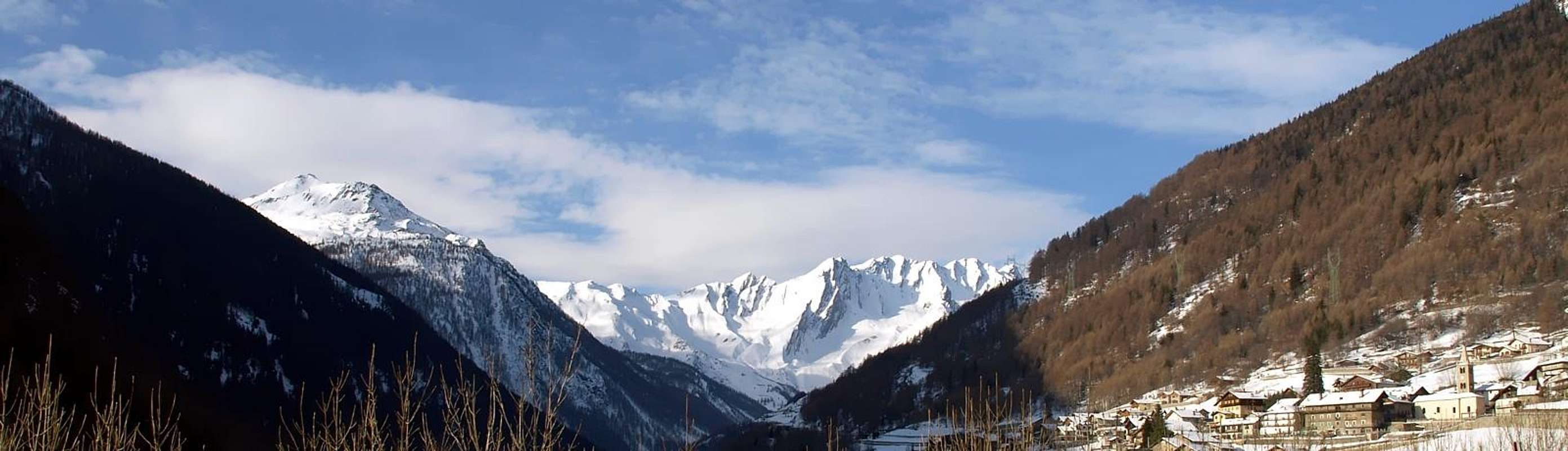
Connection between "Salassi Route" with the "Via Francigena" from Sarre towards Gignod Municipalities, by Osw 2015
Essential Gear
DIFFICULTIES
These routes can be considered E/F or EE/F+ (Experts Hikers) in winter (even by snowshoes or Ski), but require ability to track the path.
Gli itinerari sono da classificarsi in E/F oppure EE/F+ (Escursionisti Esperti) in inverno (anche tramite Racchette da neve od in Scialpinismo), ma richiedono capacità di rintracciare il percorso.
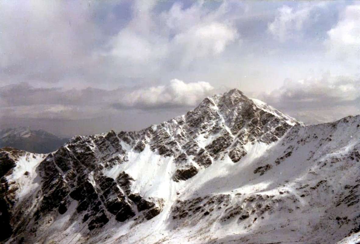
A long tour around the Mont Fallère, by Marco Cossard
EQUIPMENT
Hiking gear, in winter as for Ski-Mountaineering or with Snowshoes.
Da Escursionismo, in inverno da Scialpinismo o con Racchette da neve.


 2680 Hits
 77.48% Score
 8 Votes