An annotated Topo of the...

An annotated Topo of the...

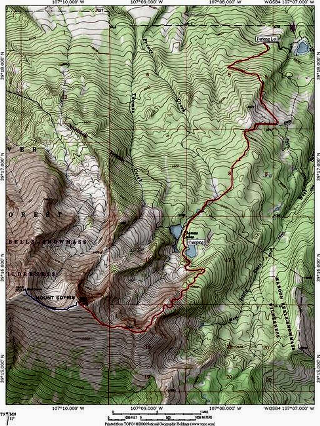
An annotated Topo of the Mount Sopris Trail route on Mount Sopris. It is 6.3 miles and 4,600 feet from the road to the summit on this class 1 hike. West Mount Sopris is an additional 0.7 miles. Excellent camping is found at the Thomas Lakes (restricted to designated sites only). The route could likely be done year round but the north east ridge is steepish and could provide unfavorable avalanche conditions. Jon Bradford.
JonBradford
on Dec 5, 2004 2:36 pm
Image ID: 80469

Comments

Post a Comment
Viewing: 1-1 of 1

boatmana - Jul 10, 2011 8:05 pm - Hasn't voted

Going up 7/11 or 12

If anyone is interested im gonna watch the weather and give this a run while im in town. Hit me up if you want to roll with. Aaron 928 208 8728

Viewing: 1-1 of 1