Toggle navigation
Mountains
Routes
Images
Trip Reports
Forum
What's New
People
Areas & Ranges
Articles
Trailheads
Canyons
Huts & Campgrounds
Albums
Logistical Centers
Fact Sheets
Lists
Custom Objects
Gear
Plans & Partners
WELCOME TO SUMMITPOST
SIGN IN
REGISTER
Craner Peak (UT)
Additional Parents
Image
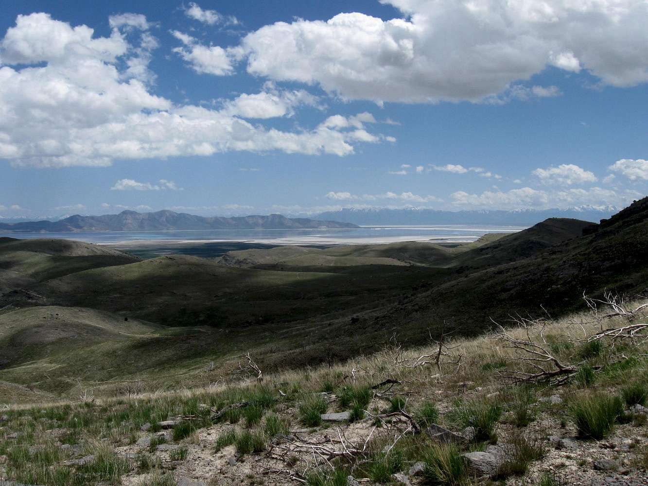
An arm of the Great Salt Lake
View High-Resolution Image
An arm of the Great Salt Lake
is visible in this shot taken from a slope south of Craner Canyon. The Stansbury Island range is to the left and the Oquirrh mountain range is the snow covered range to the right.
« PREV
NEXT »
Dean
on
Jun 4, 2009 9:43 am
Comments & voting
Other parents
Image ID:
518609
1459 Hits
74.92
% Score
5
Votes
Log in to vote
Comments
No comments posted yet.
to post!
Don't have an account?
Craner Peak (UT)
(Mountain/Rock)
« PREV
Viewing
#47 of 90
GALLERY
NEXT »
Dean's Image Gallery
« PREV
Viewing
#4735 of 7927
GALLERY
NEXT »
×
You need to login in order to vote!
User Name
Password
Remember me
Forgot your password?
Log me out when I close my browser.
Keep me logged in all the time.
sign in as a user
Don't have an account?
Register now for FREE
Rating available
Suggested routes for you
People who climb the same things as you
Comments Available
Create Albums
Register Here


