Toggle navigation
Mountains
Routes
Images
Trip Reports
Forum
What's New
People
Areas & Ranges
Articles
Trailheads
Canyons
Huts & Campgrounds
Albums
Logistical Centers
Fact Sheets
Lists
Custom Objects
Gear
Plans & Partners
WELCOME TO SUMMITPOST
SIGN IN
REGISTER
South Ridge
Additional Parents
Image
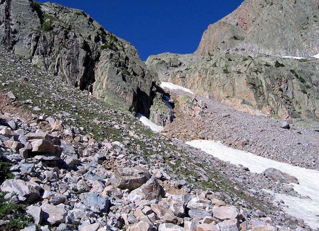
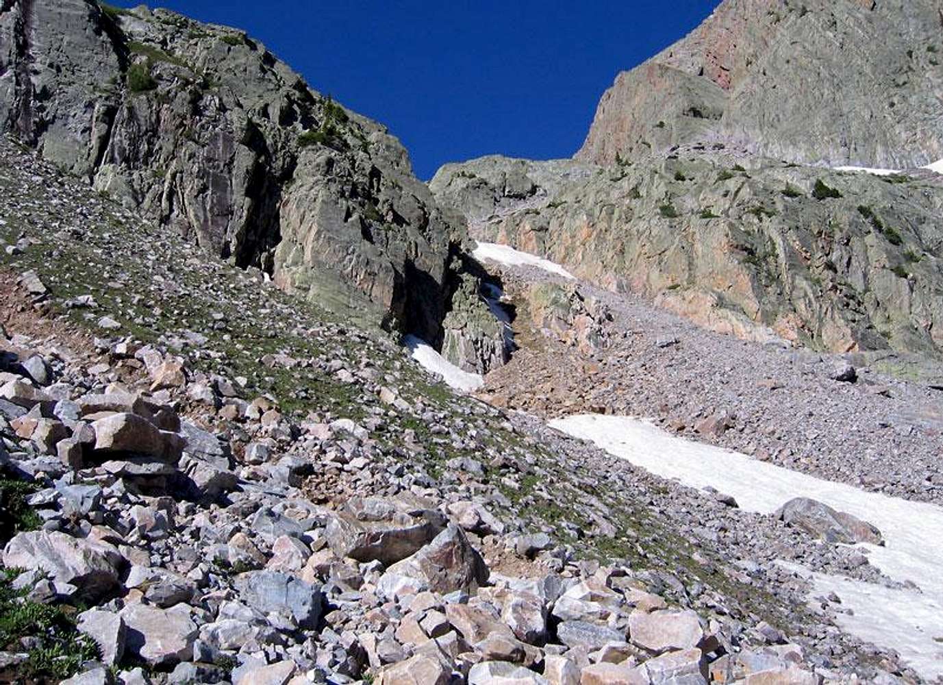
approach couloir
View High-Resolution Image
approach couloir
This is couloir you use to reach the basin surrounded by Arrow Peak, Graystone Peak, and Electric Peak for Mount Garfield's
south ridge
route. July 5, 2004
« PREV
NEXT »
RyanS
on
Oct 11, 2004 11:41 am
Comments & voting
Other parents
Lat/Lon:
37.69470°N / 107.6357°W
Image Type(s):
Rock Climbing
Image ID:
73330
3012 Hits
77.48
% Score
8
Votes
Log in to vote
Comments
No comments posted yet.
to post!
Don't have an account?
South Ridge
(Route)
« PREV
Viewing
#5 of 9
GALLERY
NEXT »
RyanS's Image Gallery
« PREV
Viewing
#278 of 811
GALLERY
NEXT »
Mount Garfield
(Mountain/Rock)
Loading....
×
You need to login in order to vote!
User Name
Password
Remember me
Forgot your password?
Log me out when I close my browser.
Keep me logged in all the time.
sign in as a user
Don't have an account?
Register now for FREE
Rating available
Suggested routes for you
People who climb the same things as you
Comments Available
Create Albums
Register Here


