

Viewing: 1-2 of 2

larryN - Jun 2, 2009 1:57 am - Voted 10/10
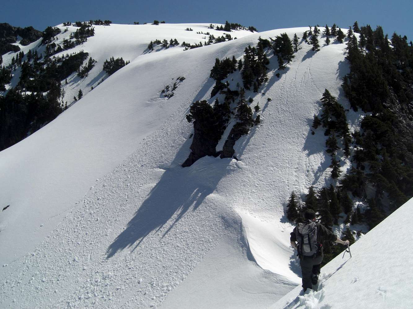
Nice effort on snowHow did you approach the West ridge, and when did you get onto snow? That 2000' cliff at the bottom of the bowl does get your attention. I wasn't aware of it when I made the climb in '07.

BKW - Aug 31, 2009 1:03 pm - Hasn't voted
Re: Nice effort on snowWe came up the abandoned logging road from the south. We hit snow around 3,500-4,000 feet.
Viewing: 1-2 of 2


Comments
Post a Comment