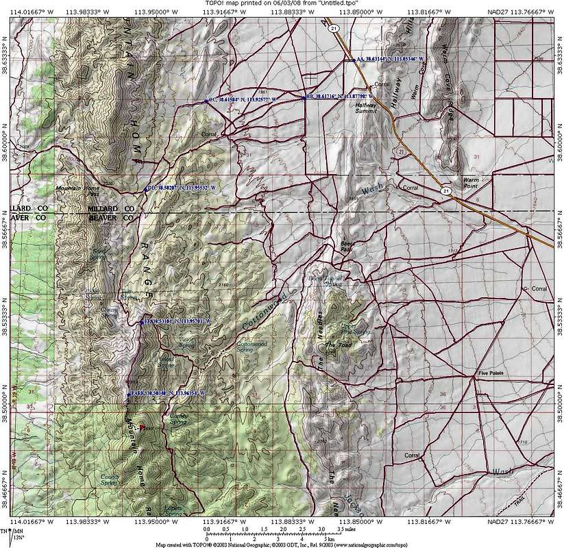
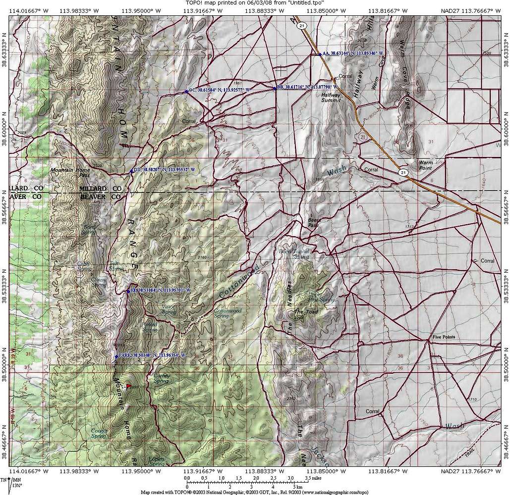
Click to highest resolution to be able to read the gps coordinates. The road network can be confusing but the GPS waypoints included in the other maps will get you to the "trailhead".
Ken Jones had this information which might help: As he headed south
0.0 Utah Hwy 21, virtual milepost 24.9 (1.1 mi NW of Halfway Summit)
1.6 Bear right
3.7 Approaching corral and tank, turn right (NW)
4.7 "T" intersection, turn left
8.0 Bear left at intersection and drop down, crossing wash
12.0 Turn right onto ridge (mileage could be wrong, sloppy note)
14.8 Park in this vicinity


