
|
|
Mountain/Rock |
|---|---|
|
|
47.75780°N / 120.9642°W |
|
|
6030 ft / 1838 m |
|
|
Special Thanks
Special Thanks to user D. Smith for putting up this excellent summit on Summitpost.Overview

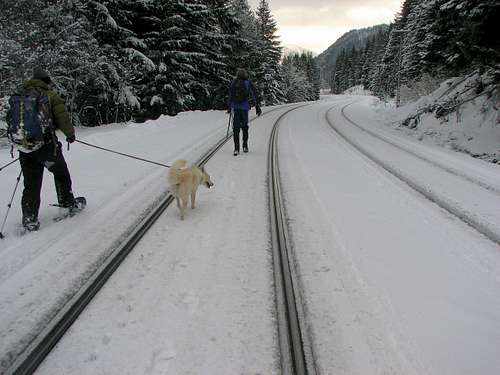
Arrowhead Mountain stands just east of Stevens pass, and is accessed easily from Highway 2. Arrowhead is a popular objective for backcountry skiers, snowboarders, and snowshoers alike, providing gladed slopes and over 3100 feet of vertical from top to bottom. On any given weekend in the winter, you're likely to find many a happy skier/rider on the mountains summit, taking in the views and ripping the skins before diving into waist-deep powder on the NW slopes.
Arrowhead's summit provides terrific 360 degree views of the Chiwaukum Range, as well as many of the North Cascades peaks including Sloan and Glacier Peak.
This peak was named by former Forest Supervisor A. H. Sylvester. The name referrs to an arrowhead-shaped rock slide area on the south slopes (source).


Getting There

Take U.S. Highway 2 East from the Seattle area towards Stevens Pass. Drive past the ski area approximately 6 miles to where the divided highway ends. Park in the pullout near the eastern portal Burlington Northern Santa Fe Railway Tunnel.
From the pullout, cross the highway and walk east along the highway for approximately 100 yards to a logging road. (Starting elevation: approximately 2900 feet.)
Ascend the logging road as it switchbacks through clearcuts until reaching a large clearing just west of the upper mountain. Skirt the top of the clearing, aiming for the "Arrowhead" rock outcrop on the W face. Routefinding from here is straightforward - just make your way up the gladed slope.
More Links and Photos
Arrowhead trip photos from Turns-All-YearTrip Report from January 2001
Red Tape
Arrowhead peak lies within the Wenatchee National Forest, but no permits are required. There is no fee for parking at the BNSF tunnel portal pullout.When To Climb
This is best climbed during the winter Months (December-April, under favorable avalanche conditions.Camping
Camping is allowed in the area. There are several nice spots higher on the mountain, above the clearcuts.Mountain Conditions
Before heading out, be sure to check out the Avalanche Report.
Local weather conditions are also available at the Stevens Pass Ski Area Web site.
gimpilator - Feb 16, 2009 10:49 pm - Hasn't voted
Route InformationHere is the route recorded by my GPS. It is a kml file and should be viewed in Google Earth.