Welcome to SP!  -   
 
  MbPost.com -- It's SP for Mountain Biking!
Areas & Ranges·Mountains & Rocks·Routes·Images·Articles·Trip Reports·Gear·Other·People·Plans & Partners·What's New·Forum

Avalanche Gulch

 
[ Sizes: Orig | Med | Small | Thumb ]
Avalanche Gulch
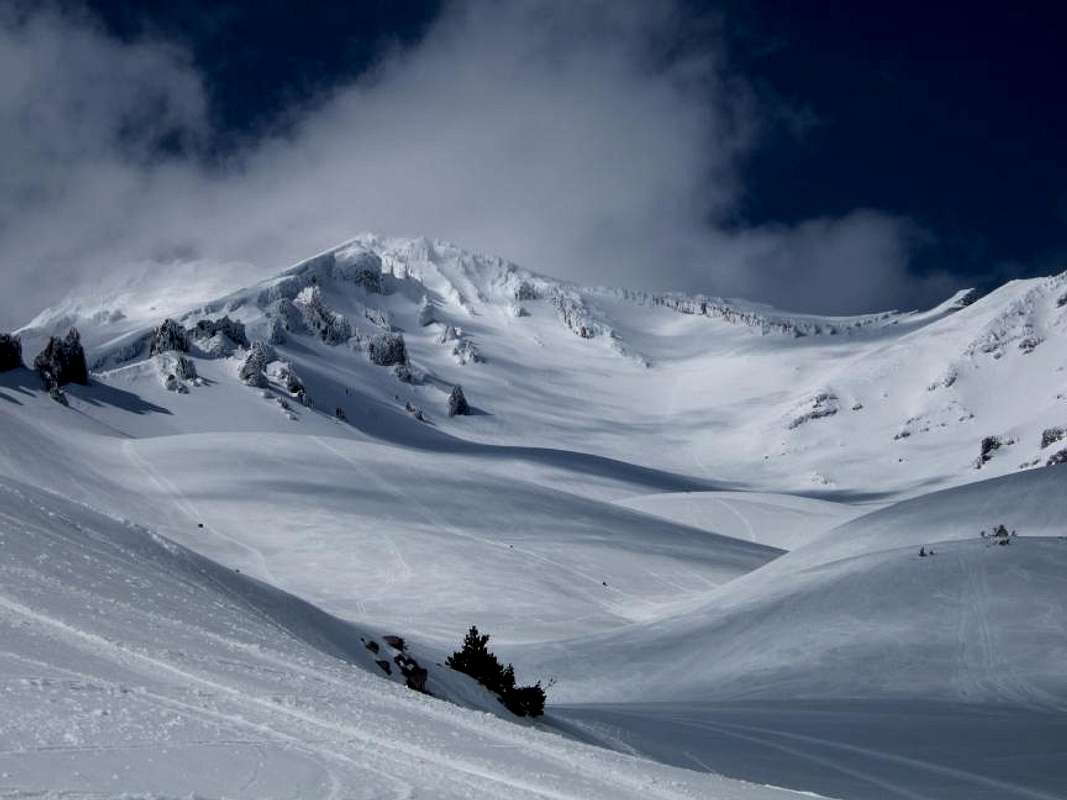
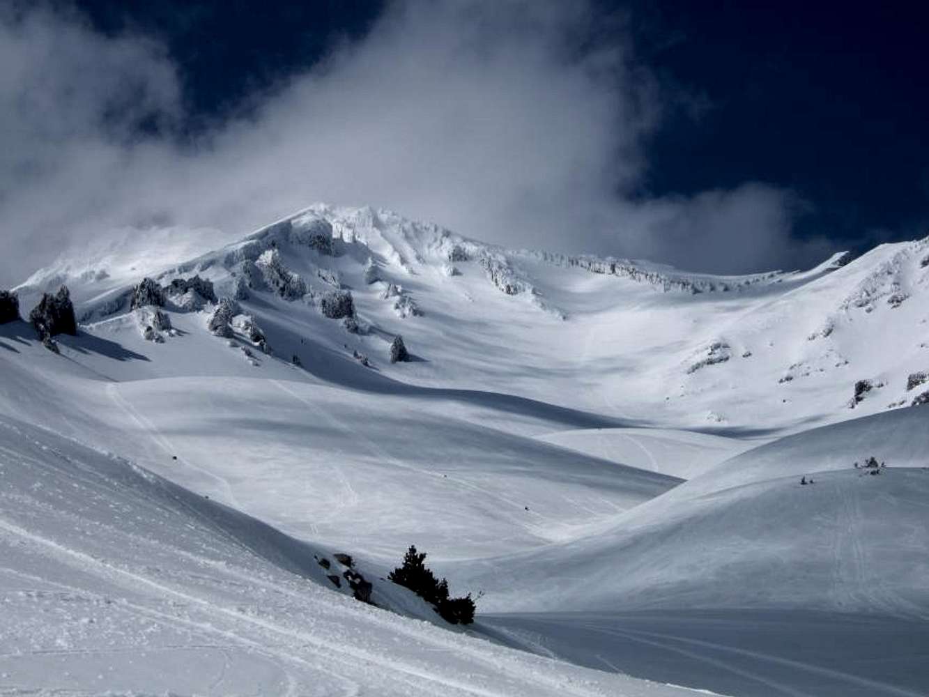
This shows pretty much our entire route. Casaval Ridge on on the left, and Seargent's is on the right. Thumb Rock is the ramp-looking feature in the middle right of the photo. We climbed to just hiker's left of Thumb Rock, then make a left hand turn towards the summit. The trip down from Red Banks/Thumb Rock was awesome. It took us less than 30 minutes to lose 3000' of elevation!


Comments

No comments posted yet.


Sign in to post!

Don't have an account? Register now.


Rate This Image
Current Score: 79.8

Log In To Vote
 Mount Shasta (Mountain/Rock)

Shastina
« PREV

Viewing
#758 of 1069
GALLERY
Thank You to my sponsors!
NEXT »

 hikerbrian's Image Gallery

Shastina
« PREV

Viewing
#10 of 31
GALLERY
Horse Camp cabin
NEXT »
Image Data

hikerbrianSubmitted by hikerbrian
on Jun 7, 2006 7:56 pm

Image ID: 198885
Hits: 757 


"Silence is the virtue of fools."   --Sir Francis Bacon   

© 2006-2012 SummitPost.org. All Rights Reserved.