Back at the trail junction
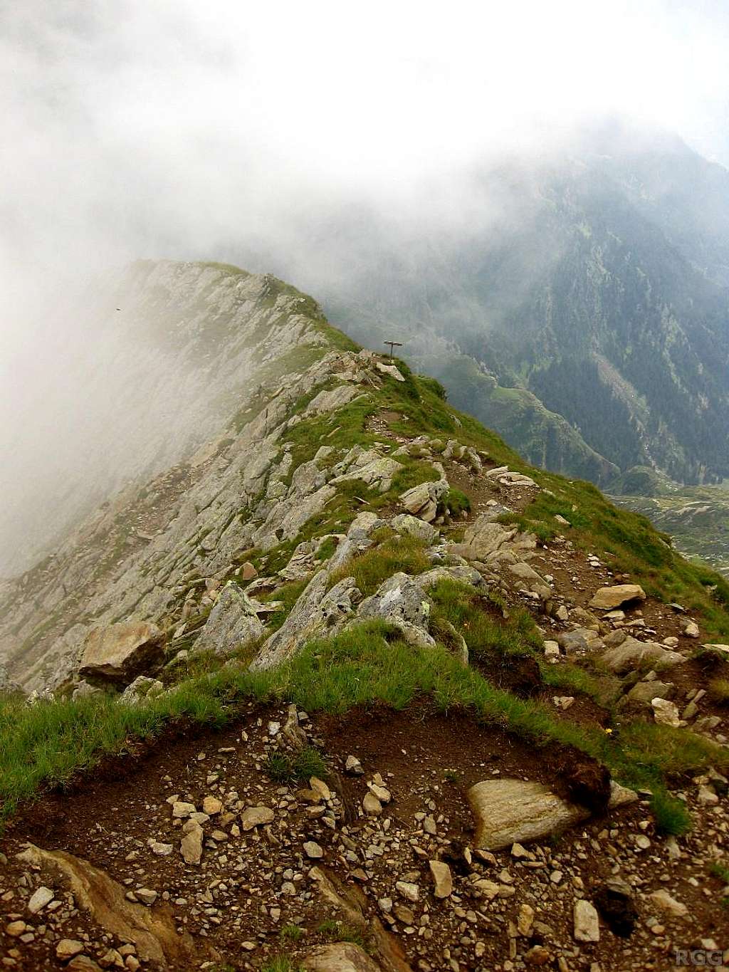
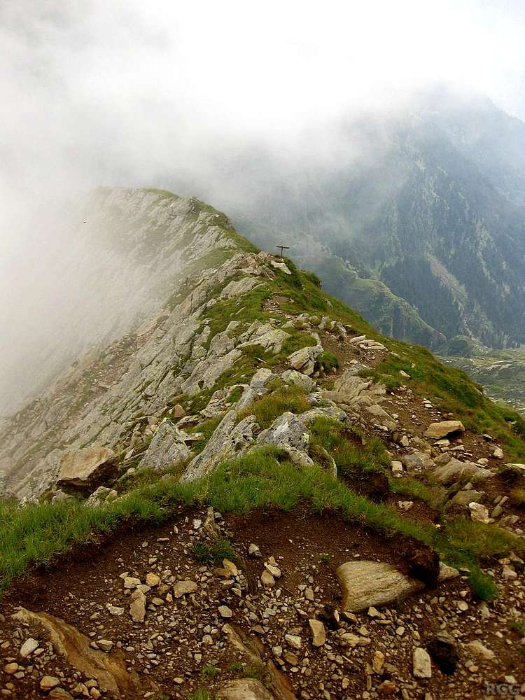
There is a trail junction high on the Blasiuszeiger. I'm coming down from the summit. To the left is the trail to the Lodnerhütte, where I came from earlier in the morning. It's a wide and obvious trail, as is the one from the junction to the summit. The trail had suffered from recent big rains in the area, making it a bit more adventurous than normal, but it was still a hiking route.
On the way down, I had other plans than to return to the hut: I wanted to climb the the Zielspitze and from there descend to the Vinschgau valley. And that meant that at this junction I had to take the branch to the right.
Although the map shows this trail as a dashed line, just as the trail from the Lodnerhütte, it proved to be much rougher and clearly much less frequented than the one from the hut. And the erosion caused by the big rains didn't help either. Eventually the trail disappeared altogether. Combined with the fact that the base of the clouds had dropped below the Zielspitze by then, I decided to change plans and head down to the valley directly.
5 August 2012.


