Backbone Mountain(Hoye Crest)

Backbone Mountain(Hoye Crest)

Page Type Page Type: Trip Report
Location Lat/Lon: 39.06073°N / 79.54751°W
Additional Information GPX File: Download GPX » View Route on Map
Date Date Climbed/Hiked: Jul 3, 2016
Activities Activities: Hiking
Seasons Season: Summer
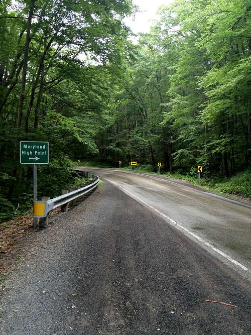
Tallest point in MD that we climbed on July 3rd, 2016.  If you come in from the North you cant actually see the green Maryland High Point(pictured below).  We drove right past it, but were able to get turned around and find the trail head.  It was a pretty easy hike, that only took us about 45 - 1 hour to reach the summit.


Trailhead
Trailhead off 219
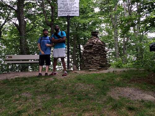
Stephan & I
The two Champs!

Tallest Point in MD

Comments

Post a Comment
Viewing: 1-2 of 2
hightinerary

hightinerary - Jul 13, 2016 8:28 pm - Hasn't voted

Unfinished Masterpiece?

A trip report with no text?

ShodRod85 - Sep 3, 2016 6:59 pm - Hasn't voted

Re: Unfinished Masterpiece?

This site is not very user friendly for posting. I am still getting used to it, and have had spotty availability to come on here and finish/post about all my hikes.

Viewing: 1-2 of 2