
Viewing: 1-2 of 2

Rafa Bartolome - Jun 1, 2004 7:56 am - Voted 10/10
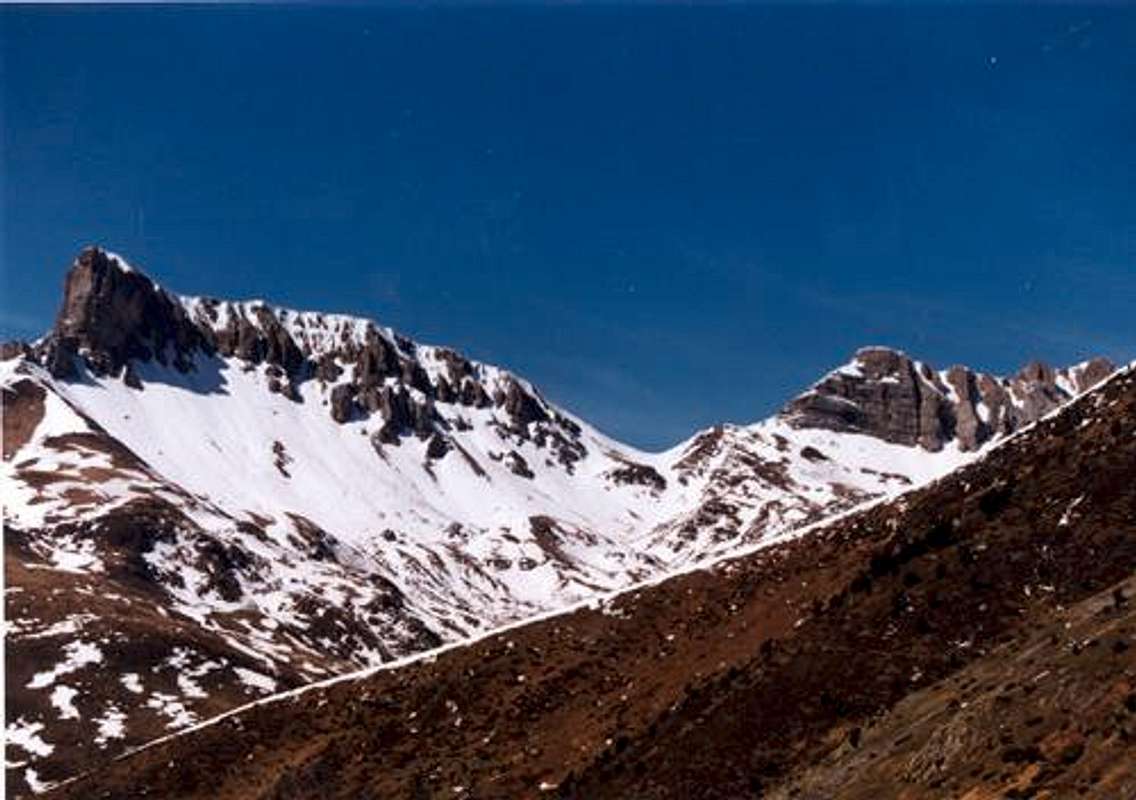
ese Chipetaque bonito es desde cualquier parte. Nosotros bajamos el otro día por este barranco y es un recorrido muy agradable.

eza - Jun 1, 2004 8:55 am - Hasn't voted
Re: ese ChipetaSí que es bonito, sí. Y el Barranco de Petraficha es agradable por definición. Al fin y al cabo es recorrido del GR-11 o sea que no puede ser muy difícil... Recomendable para Marzo o Abril, para practicar con piolet y crampones.
Viewing: 1-2 of 2


Comments
Post a Comment