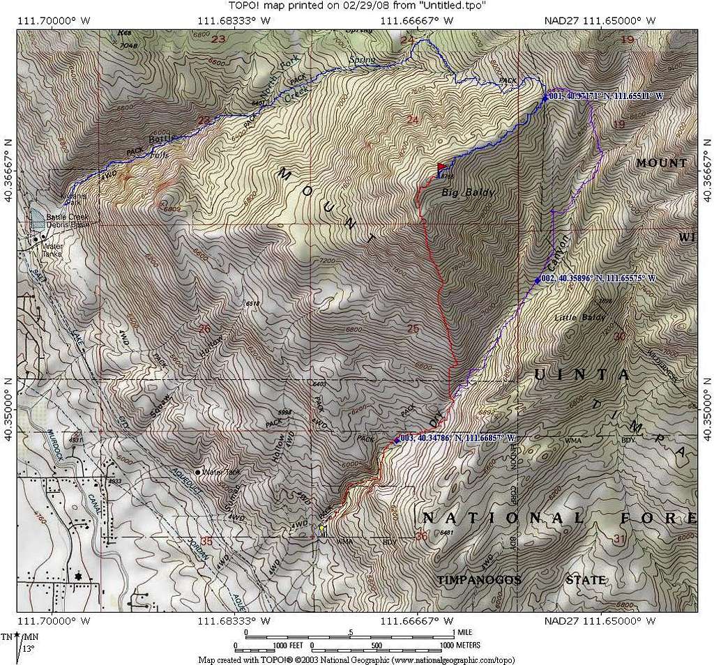
Battle Creek -Dry Canyon routes
This map has three routes on it for Big Baldy. The one in blue is via the Battle Creek trailhead and is close to 5 miles and 3300 feet overall.
The one in red is the south ridge and is more in the arena of less than3 miles with 3200 feet of elevation gain and the one in purple is about 4 miles with 3200 feet of elevation gain. A good loop would be to go up the southwest ridge and down either the Battle Creek route or back down the purple route. Descending the southwest ridge will exact a toll on your knees and you will find it easier to go down the way you came or the Dry Canyon trail that goes down from Baldy Pass and allows you to make a loop.


