Beartooth 12er's, Whitetail Peak, Silver Run Peak and Sundance Mountain
Click on the following link and mountain name for interactive maps and other resources.
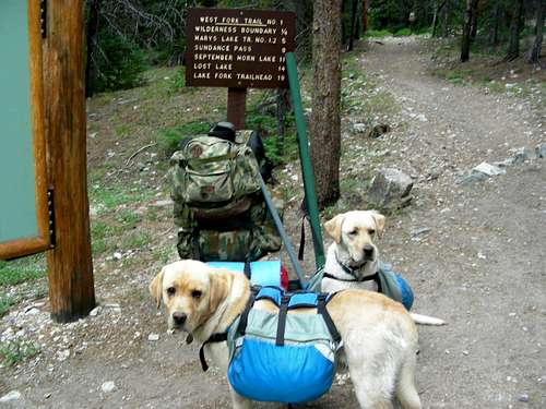
This was a combination fishing and peak bagging trip up the West Fork of Rock Creek. I took an extended 4th of July weekend, 2006, of 5 days and 4 nights. I departed Bozeman Friday, June 30, and arrived at the West Fork Rock Creek trailhead late afternoon. I got my two Yellow Labs, Rocky and Sugar packed up with their food and we started up the trail. We went about 4 miles and set up camp for the night then got an early fresh start in the morning right after a short AM rain shower. The goal was to set up base camp in the Ship, Marker, Triangle Lakes area.
I was going to bag as many peaks as I could but not really sure how many would be feasible with the dogs. On the list were #4 Whitetail Peak @ 12,551 ft, #6 Silver Run Peak @ 12,500 ft, #10 Bowback Mountain @ 12,351 ft, #16 Sundance Mountain @ 12,262, and #17 Elk Mountain @12,256. As it turned out I bagged Whitetail, Silver Run and Sundance. The scramble up Bowback looked a little too much for the dogs and thunder showers passed through everyday except the last day which made climbing a risky proposition. And the approach to Elk Mountain was via Bowback.
As a side note for readers looking to bag some peaks, a trip like this would be an excellent opportunity for a serious peak bagger to bag up to eight or more, 12,000 ft Beartooth peaks in 3 or 4 days with good weather, including the Castle group, Bowback, Elk and Sylvan at 11,935. Based on my experience in the Beartooths and Montana in general over the years, the best time for climbing during summer months is later in the summer up to about Labor Day or so to avoid thunder storms.
How to get to the trailhead. Take Hwy 212 (Beartooth Highway) South through Red Lodge. On the South side of town turn right (West) onto the West Fork Rock Creek Rd and follow it to the trailhead.
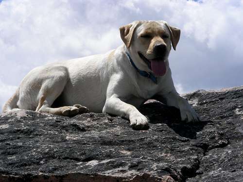
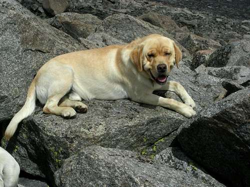
Rocky and Sugar ready to go at the trailhead
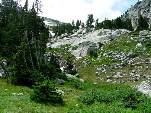
Day 2 Base Camp Ship Lake
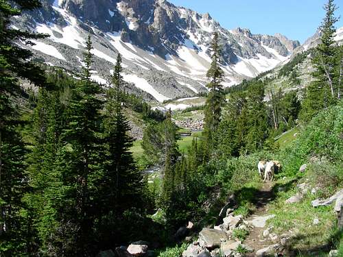
A few miles up the main trail we departed off and up to the West toward the mentioned Lakes. It was fairly easy going on an intermittent trail.
Bushwhacking with an occasional intermittent trail up to Ship lake
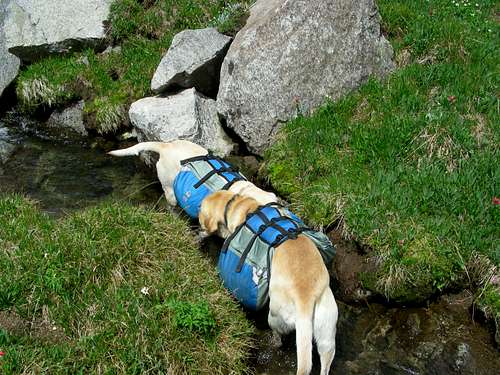
Rocky and Sugar taking a water break
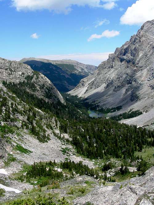
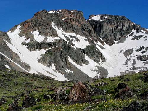
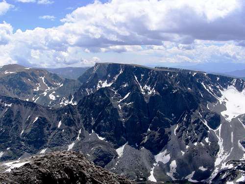
Looking North down West Fork Rock Creek, September Morn Lake, Silver Run to the right
Looking South across West Fork Rock Creek and Sundance Lake at Whitetail Peak
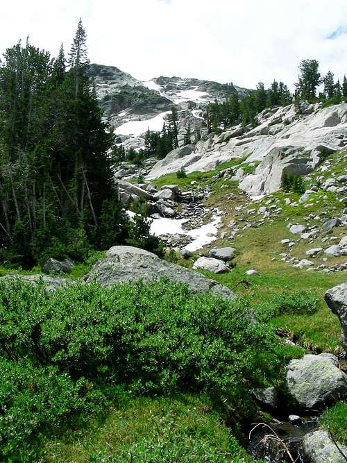
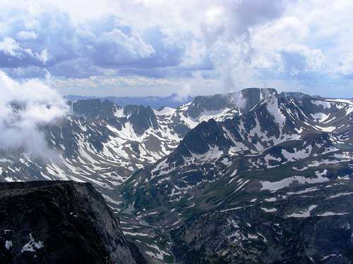
The way up to Ship Lake, Sundance Mountain in the background
The way up to Ship Lake, Sundance Mountain in the background
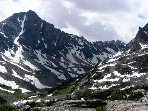
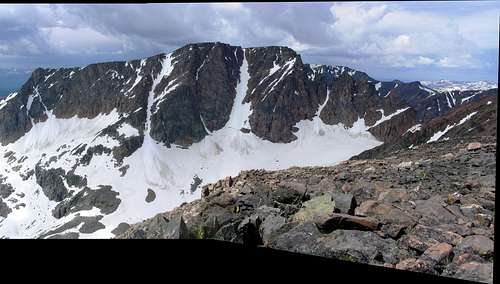
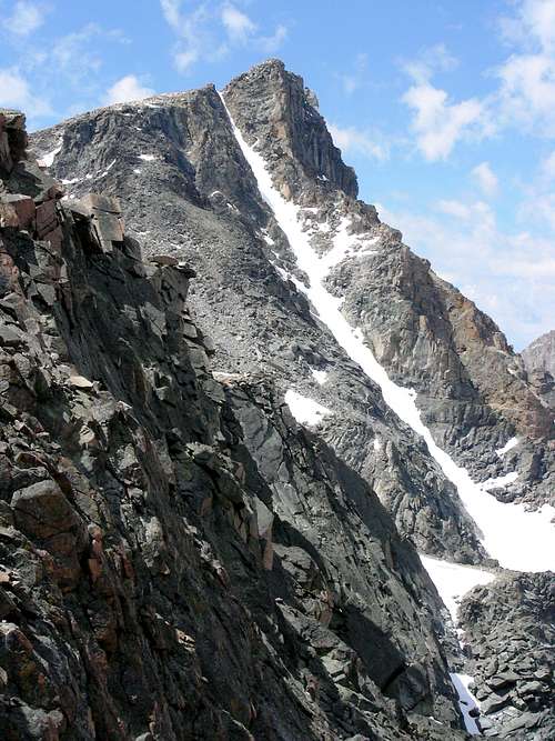
Whitetail Peak and couloir
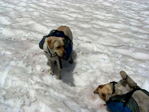
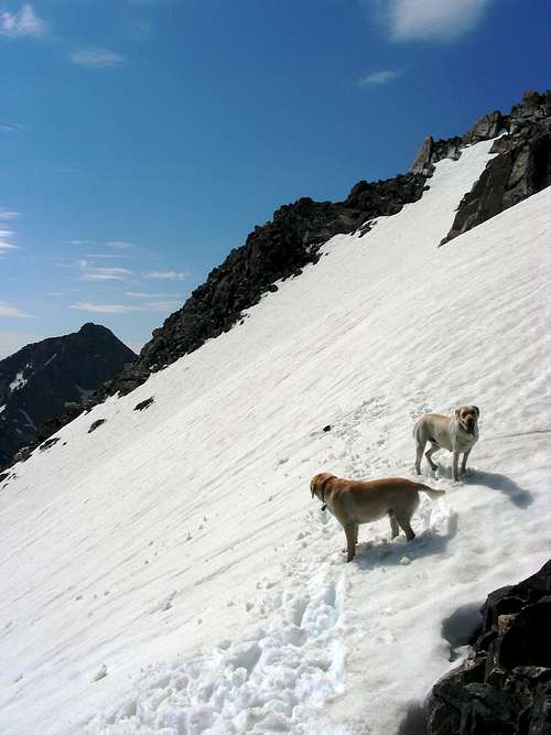
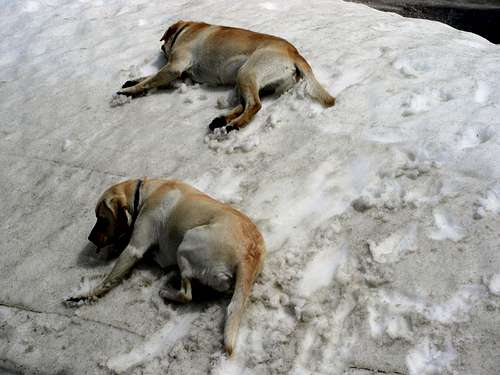
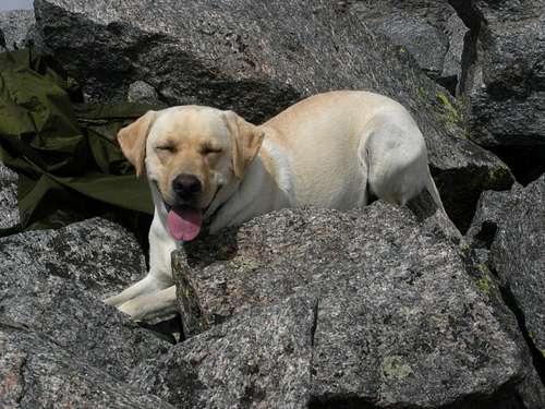
Rocky and Sugar fooling around in the snow
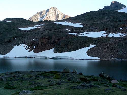
Base camp on Ship Lake, Whitetail Peak in the background
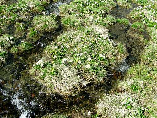
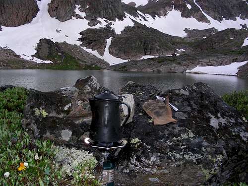
I made base camp at Ship Lake and did some scouting around. We had 1 or 2 thunder showers pass through every day except the last day. I had an ice ax with a straight 30 inch aluminum handle. I took it and placed it on some high terrain about a hundred yards or so from camp, anchoring it with rocks, right about where the above picture is taken from to serve as a lightening rod. I remember lying in my tent on several occasions with lightening striking all around wonder if the next one would find my aluminum tent poles. I did some fishing early the first evening to find out that Ship Lake contained only small brookies. Mosquitoes were fairly abundant and I was glad I brought good repellent. The back country is not the place to test home remedy repellent.
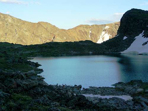
Looking East over Ship lake toward Sundance Pass.
Day 3 Sundance Mountain
Starting the approach to Sundance from Base camp
Above base camp, Ship Lake
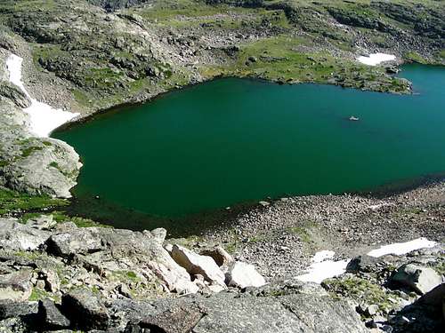
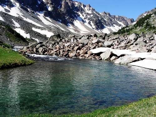
Marker Lake, we would return from Sundance coming down the snow and talus slopes in the far bowl
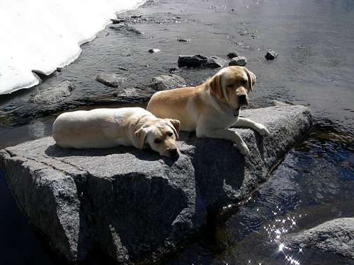
Sugar wading in the crystal clear water of Marker Lake
Bowback Mountain 12,351 ft #10 in Montana.
I considered this but the scrambling looked too much for the dogs
The final ascent up Sundance
Sugar and Rocky loved the snow
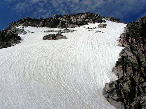
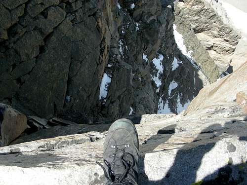
Steep class 3-4 scramblling
Up we go. The dogs were good climbers but on about 3 or 4 occasions,
I had to physically lift them up over some rocks and obstacles.
Just a few more feet to the summit
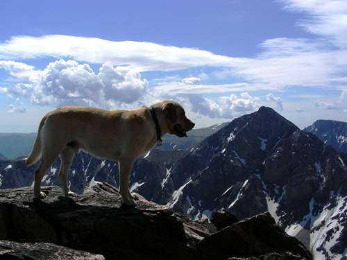
Rocky on Sundance Summit. Whitetail Peak in the right background. One of my favorite photos ever.
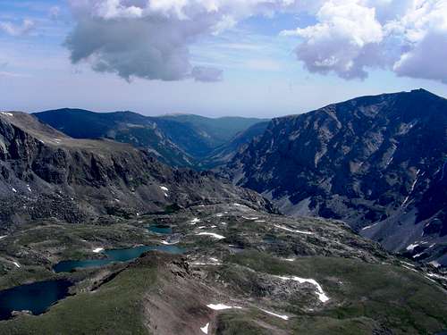
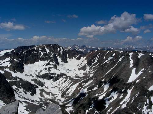
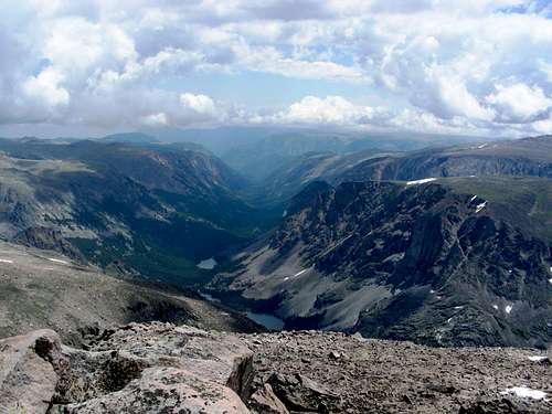
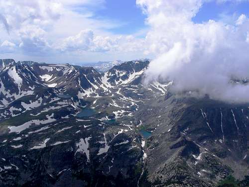
View from Sundance Mountain Summit, North, in order descending away, Marker, Ship, Triangle, Kookoo Lakes
West Fork Rock Creek drainage, Silver Run Peak right
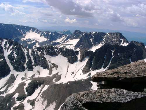
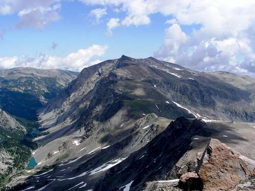
View from Sundance Mountain Summit, East, Whitetail Peak
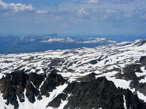
View from Sundance Mountain Summit, South, Medicine Mountian close, Sky Pilot Mountain behind
![Unnamed Image]()
View from
Sundance Mountain Summit, Southwest, Castle Mountain
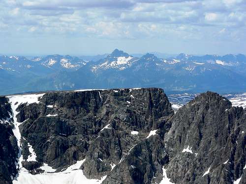
View from Sundance Mountain Summit, East, Whitetail peak, Beartooth Mountain and the Beartooth
A thunder shower passed through on the way down from Sundance. I found a rock formation to duck into for protection from lightening and rain.
As already mentioned, thunder showers were a daily occurrence on this trip and I was quite exposed this high and above timber line.
Day 4 Fishing
Today was going to be a fishing day. We headed down to Triangle to see what fish we could find and catch there.
Rocky above Triangle Lake
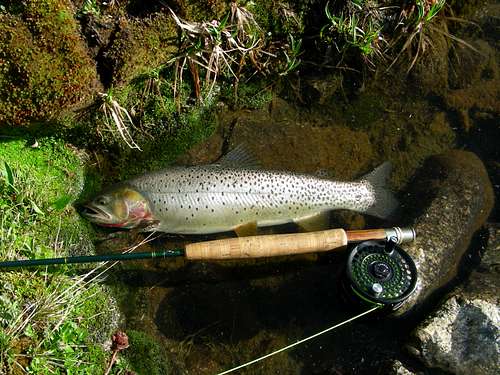
Caught a few nice Cutthroats here
Un-named Lake up stream from Kookoo Lake
Waiting faithfully while I fish
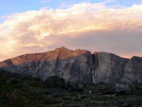
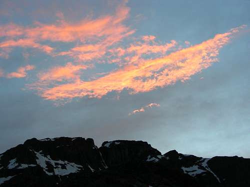
Sunset over Sundance Mountain
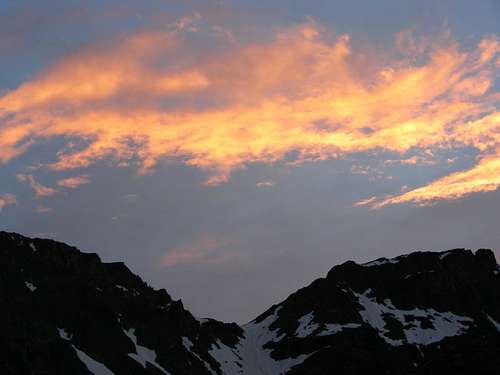
Sunset over Sundance Pass from Ship Lake base camp
Sunset over Sundance - Bowback Saddle from Ship Lake base camp
Sunset over Bowback Mountain from Ship Lake base camp
Day 5 Breaking Camp
We broke camp morning of the 5th day and packed down to the main trail. When we got to the main trail, I met another hiker and he asked me if i had seen the Grizzly from where I had just come. "No I hadn't". He said it was feeding just below a bench ridge that I had just hiked down. Interesting. That communication was the first words I had heard or spoke with another human in 3 days and nights which is the longest I have gone without speaking with another human.
The plan now was to bag Whitetail Peak and Silver Run Peak, then pack out to the trailhead and head home. Very ambitious. I packed my day pack with enough food and water to get up the pass and bag both peaks and get back down. I cached my backpack and the dogs pack in some brush near the trail and we started up the trail. The total cumulated elevation loss for the day was 7700 ft and cumulated gain was 5000 ft. Total distance traveled would be 20 miles. 10 miles with full 60 lb pack. We arrived at the trail at dusk to wrap a full day and a full trip.
Descending down to West Fork Rock Creek
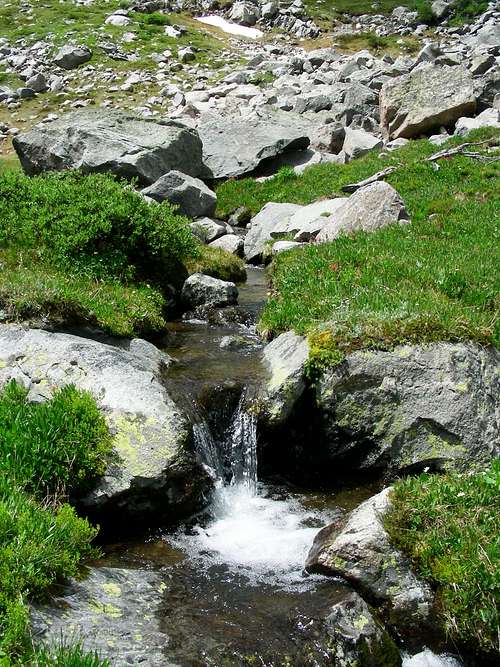
West Fork of Rock Creek - Gorgeous
Day 5 Whitetail Peak
We precoded up the switchbacks to Sundance Pass. After pacing off many of the switchbacks, I concluded that the actual distance was 2 miles longer than advertised. YMMV.
Starting up Whitetail Peak
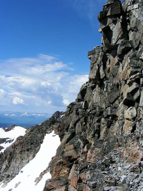
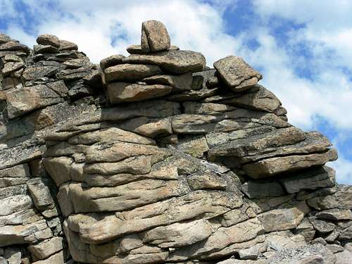
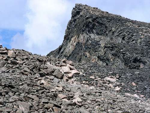
Interesting rock formation
North Ridge to Whitetail Peak
Head, West Fork Rock Creek Drainage
View from Whitetail Peak summit, Southwest, Cuttoff Mountain distant background
View from Whitetail Peak summit, Southwest, Castle Rock Spire, Pilot Peak background
View from Whitetail Peak summit, South, Sky Pilot Lake
View from Whitetail Peak summit, East, Beartooth Mountain and the Beartooth
View from Whitetail Peak summit, East, Lake Fork drainage
View from Whitetail Peak summit, North, Sundance Pass, Silver Run, left - West Fork Rock Creek, Shadow Lake, Sundance Lake
Switchbacks leading up Sundance Pass
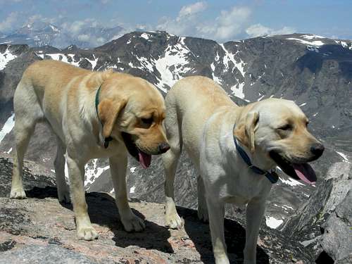
Rocky and Sugar on Whitetail Peak
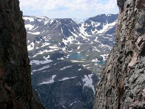
One of the notches in the West Face of Silver Run, looking West to Kookoo creek
Looking West, Marker, Ship, Triangle and Kookoo Lakes
Getting close to Silver Run Summit
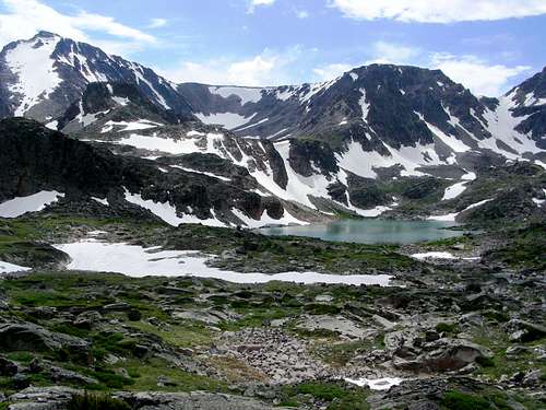
Marker, Ship and Triangle Lakes
View from Silver Run Peak summit, West, Marker, Ship, Triangle, Boowback and Kookoo Lakes
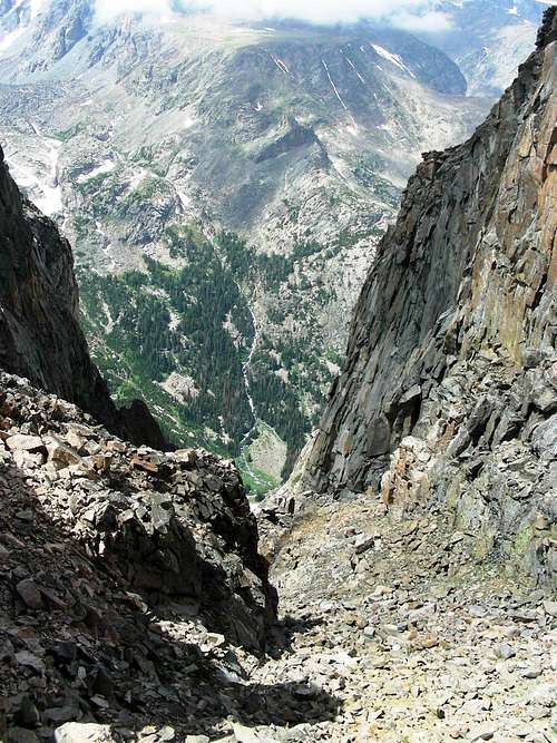
View from Silver Run Peak summit, West Fork Rock Creek valley floor, 3500 ft straight down
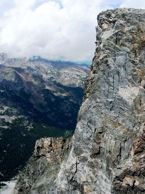
View from Silver Run Peak summit, South, upper reach West Fork Rock Creek drainage
Silver Run Peak summit, Rocky taking a breather
Silver Run Peak summit, Sugar taking a breather
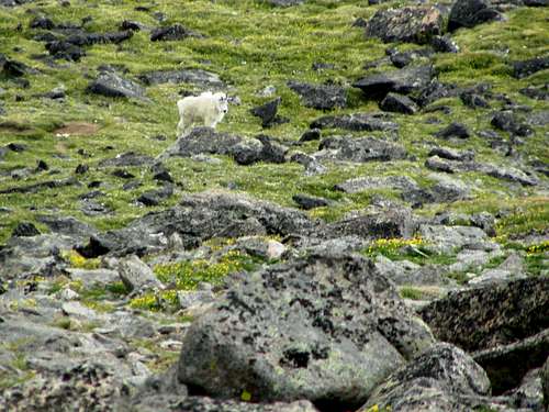
Descending Silver Run Peak, Mountain Goat
Descending Silver Run Peak, Mountain Goat
Silver Run Peak from the valley floor, hiking out to the trailhead


Comments
Post a Comment