
|
|
Mountain/Rock |
|---|---|
|
|
39.80784°N / 120.11397°W |
|
|
Lassen and Plumas |
|
|
Hiking, Scrambling |
|
|
Spring, Fall, Winter |
|
|
5959 ft / 1816 m |
|
|
Rocky area on the east ridge
A series of craggy hills north of Beckwourth Pass offers fun scrambling and hiking opportunities during colder weather months. Two defined summits rise just north of Beckwourth Pass, with easy parking access.
There are two defined summits. The highest, Point 5,959 is not an official summit. Although there are ups and downs on the way, the true saddle between it and Adams Peak is at 5,681’. The lower summit, Point 5,946 rises 213’ above the saddle between it and Point 5,959. Point 5,959 is the highest point along a ridge heading west, perpendicular to the north-south stretching east ridge of which Point 5,946 is situated.
With the deserts of Nevada to the east and the forests of Plumas County to the west, along with a view down to the Sierra Valley, the views are excellent. But the views are just as nice within the hills themselves, which are adorned with colorful boulders.
Hiking both summits can be reached as part of a loop in less than 5 miles, gaining over 1,500’. The way to the lower east summit is steep and rocky albeit along a road, while the higher west summit is gentler. Point 5,959 is in Plumas County, while Point 5,946’ is in Lassen County.
The Beckwourth Pass area is best hiked in fall, winter, and springtime. As with most of the lower summits in this area, summer hiking is not recommended due to heat and rattlesnakes.
The coordinates for both summits are below:
Point 5959: 39.807844, -120.113969
Point 5946: 39.811303, -120.102434
Getting There
From Reno head north on US 395 and enter California. Take the US 70 West exit at Hallelujah Junction and follow it for 3 ½ miles. Park at a dirt parking area on the right side of the road. If coming from the west, this dirt parking area is on the left and is just after you pass the official Beckwourth Pass, and 1 ¼ miles past Chilcoot, California.Route Information
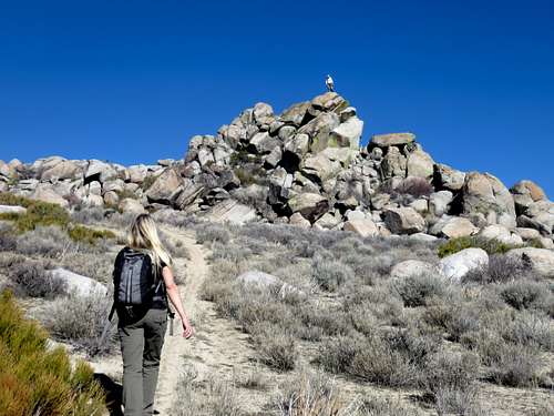
From the parking area, head down the dirt road heading west. Find a road across and head down to an obvious road heading up to the ridge. The road goes up steeply and then up and over a few hills before reaching Point 5,946 which is easy to distinguish because it has a few trees.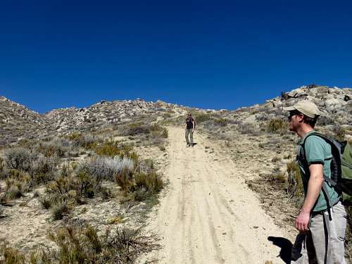
Heading up the road towards Point 5946
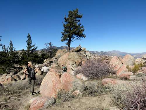
Point 5,946
From there, you can see a ridge heading towards Point 5,959. Take the ridge for about ¾ miles to the summit.
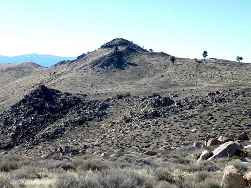
Looking west to Point 5,959
We descended the back side of the east ridge towards a road on the back side of the east ridge which heads back down to the main road.