Bielerspitze (2545m) and Vallüla (2813m) from just below the Radschulter
Bielerspitze is the flat dark summit left of center, and just a walk-up from Bielerhöhe. As this photo shows, it doesn't have much promincence.
Following the ridge to the right (i.e. to the northeast), the first noteworthy summit is Kleiner Vallüla (2643m). A week later, I would be on that ridge. At first there were some signs of a trail, but soon it petered out. I went on anyway, but when I got to the base of the gendarme just left of Kleiner Vallüla, I decided against going over it. Instead I went well down and around it before scrambling back up again. The direct route from Kleiner Vallüla to the snow covered saddle with Großer Vallüla to it's right looked too hard, so I scrambled back down, on poor rock, steep grassy slopes and finally a scree filled couloir.
In contrast with Kleiner Vallüla, the normal route to Großer Vallüla is marked, and there is a hiking trail leading up it. However, higher up it involves exposed climbing up to UIAA grade II, and I found it slightly harder than Kleiner Vallüla.
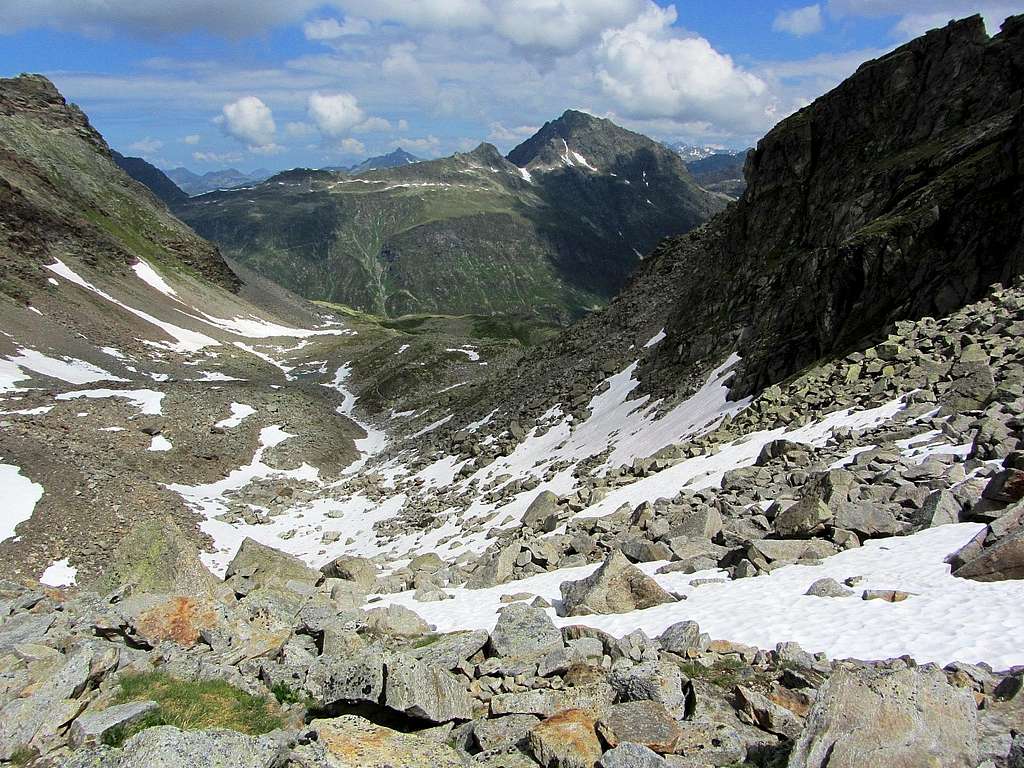
The route follows the narrow snow filled couloir. The rock quality is rather poor, and without snow, rockfall is a potentially serious hazard. However, with snow you may need crampons, and an ice axe isn't a bad idea either. As I made my way up, I met several groups of hikers that had not expected this, and wisely decided to turn back. Even with snow, a helmet is a good idea, especially when there might be other people above you.
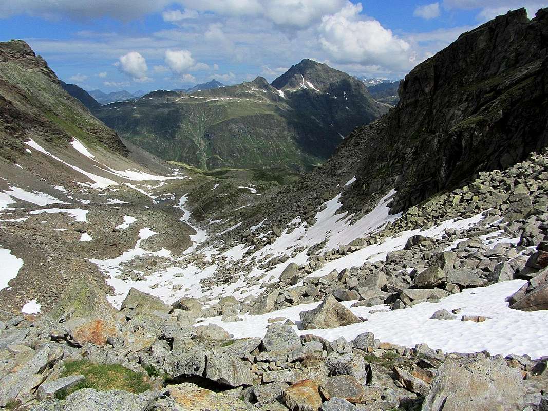
The top of the couloir can't be seen properly, but it reaches a saddle from where you can see down the other side. The route turns to the right from there, going up at first. There are red paint marks, but I have to admit that, on the way up, I got a little off route once or twice because I didn't see the next marker soon enough. I never strayed far though. Soon after the saddle, the route turns right, leaving the ridge to traverse the eastern slopes. It gets a bit easier too, and eventually I made it to the summit without serious problems.
19 July 2013.


