Toggle navigation
Mountains
Routes
Images
Trip Reports
Forum
What's New
People
Areas & Ranges
Articles
Trailheads
Canyons
Huts & Campgrounds
Albums
Logistical Centers
Fact Sheets
Lists
Custom Objects
Gear
Plans & Partners
WELCOME TO SUMMITPOST
SIGN IN
REGISTER
Whiskey Mountain
Additional Parents
Image
Bomber Basin
View High-Resolution Image
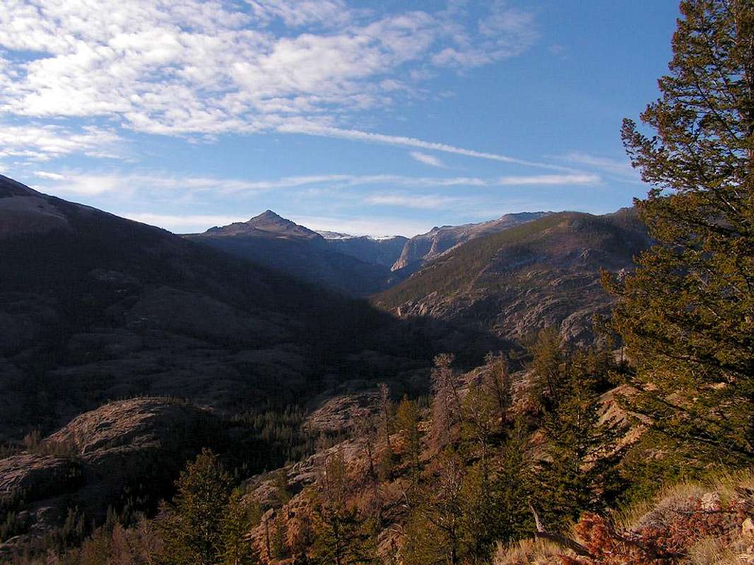
Bomber Basin
As you ascend the Whiskey Mountain Trail, the glacially scoured Bomber Basin is visible to the south. Goat Flat is the high ridge visible at the end of the canyon. Oct 14, 2006.
« PREV
NEXT »
brendon
on
Oct 17, 2006 6:24 pm
Comments & voting
Other parents
Lat/Lon:
43.43030°N / 109.6219°W
Image ID:
236086
2714 Hits
74.01
% Score
4
Votes
Log in to vote
Comments
No comments posted yet.
to post!
Don't have an account?
Whiskey Mountain
(Mountain/Rock)
« PREV
Viewing
#7 of 15
GALLERY
NEXT »
brendon's Image Gallery
« PREV
Viewing
#328 of 577
GALLERY
NEXT »
×
You need to login in order to vote!
User Name
Password
Remember me
Forgot your password?
Log me out when I close my browser.
Keep me logged in all the time.
sign in as a user
Don't have an account?
Register now for FREE
Rating available
Suggested routes for you
People who climb the same things as you
Comments Available
Create Albums
Register Here


