Toggle navigation
Mountains
Routes
Images
Trip Reports
Forum
What's New
People
Areas & Ranges
Articles
Trailheads
Canyons
Huts & Campgrounds
Albums
Logistical Centers
Fact Sheets
Lists
Custom Objects
Gear
Plans & Partners
WELCOME TO SUMMITPOST
SIGN IN
REGISTER
Crno Jezero-Biljegov Do-Bobotov Kuk
Additional Parents
Image
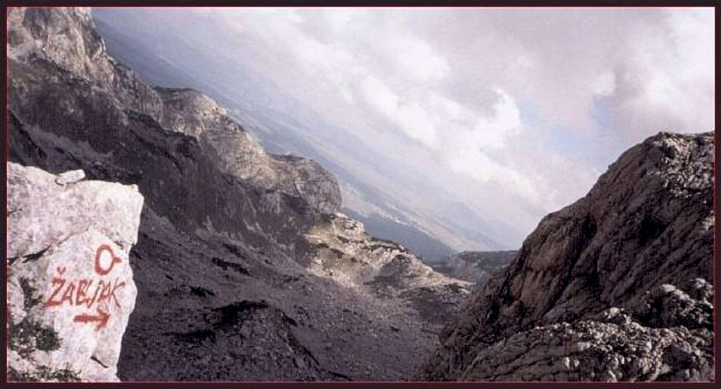
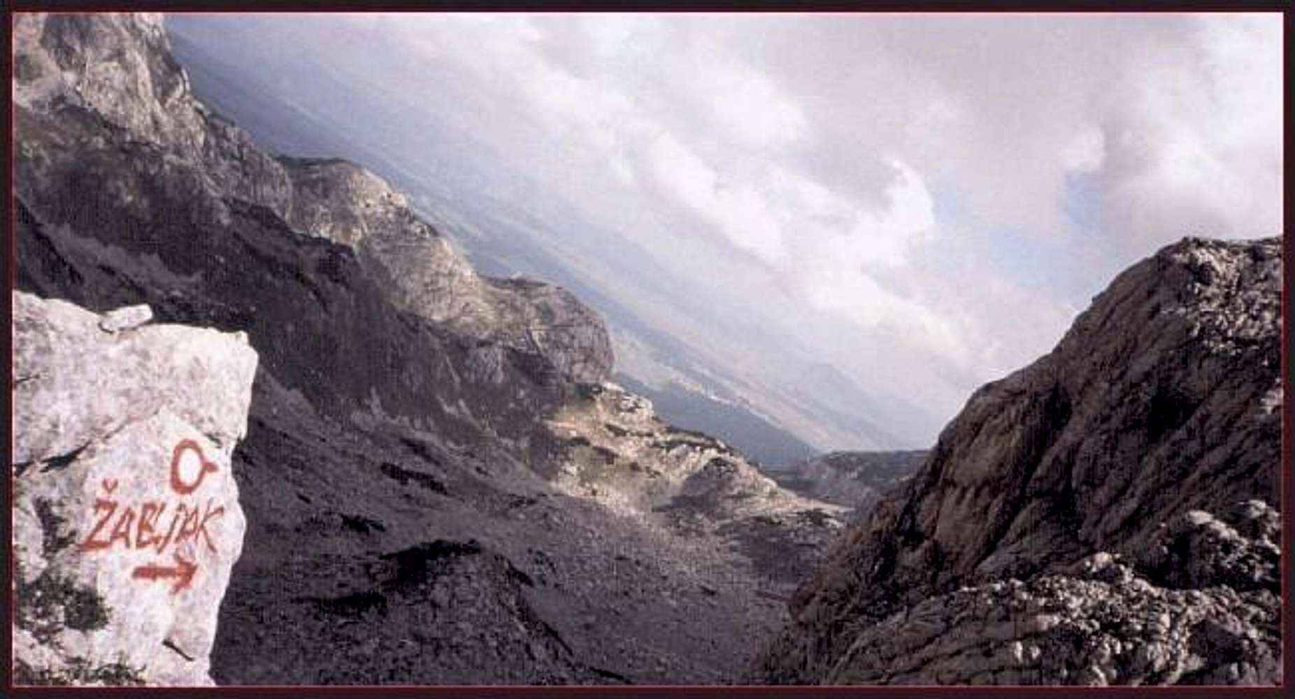
Bottom left, trailmark on...
View High-Resolution Image
Bottom left, trailmark on...
Bottom left, trailmark on the route from
Bobotov Kuk back toward Crno jezero and Zabljak
« PREV
NEXT »
toc
on
Dec 21, 2003 3:52 pm
Comments & voting
Other parents
Lat/Lon:
43.20000°N / 19.10000°E
Image ID:
36434
3275 Hits
69.47
% Score
6
Votes
Log in to vote
Comments
No comments posted yet.
to post!
Don't have an account?
Crno Jezero-Biljegov Do-Bobotov Kuk
(Route)
« PREV
Viewing
#3 of 3
GALLERY
You are at
the Last
Image
toc's Image Gallery
« PREV
Viewing
#596 of 664
GALLERY
NEXT »
Durmitor
(Area/Range)
Loading....
×
You need to login in order to vote!
User Name
Password
Remember me
Forgot your password?
Log me out when I close my browser.
Keep me logged in all the time.
sign in as a user
Don't have an account?
Register now for FREE
Rating available
Suggested routes for you
People who climb the same things as you
Comments Available
Create Albums
Register Here


