|
|
Route |
|---|---|
|
|
34.14277°N / 118.54092°W |
|
|
Hiking |
|
|
Spring, Fall, Winter |
|
|
Less than two hours |
|
|
Strenuous |
|
|
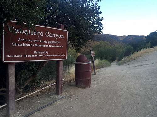
Overview
This is a difficult hike that takes between one and two hours to complete mostly through chaparral. The hike starts at the lowest elevation of the loop and basically has three sections. If you hike the loop clockwise, the first one third will almost all uphill continuously on a single track. This is the most difficult part of the hike. The second third is an easy fire road section that descends slowly. The last third is moderately steep downhill single track at first, then flattens out through a dry creek. When you transition from the fire road to the last section, you can see the pacific ocean to your left.
If you hike the loop clockwise, you actually have three option to complete the hard uphill portion.
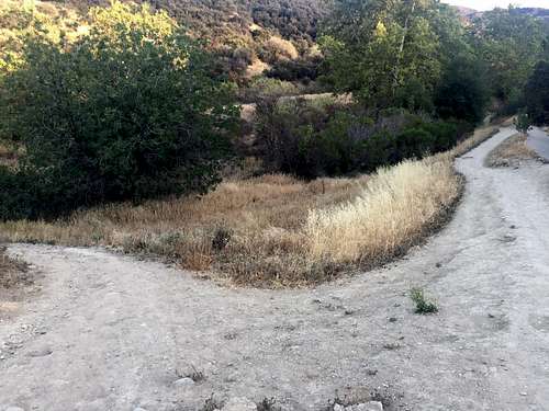
Turn left here to start uphill section
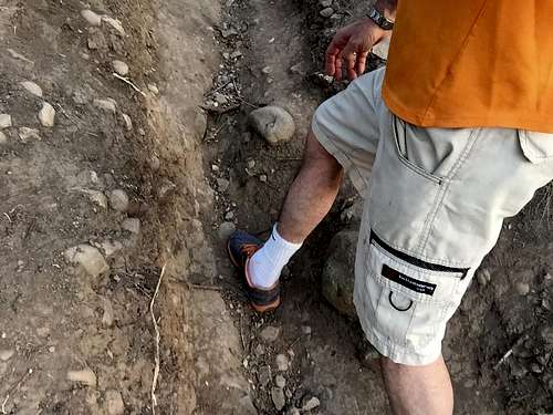
Drainage rut in the first uphill section
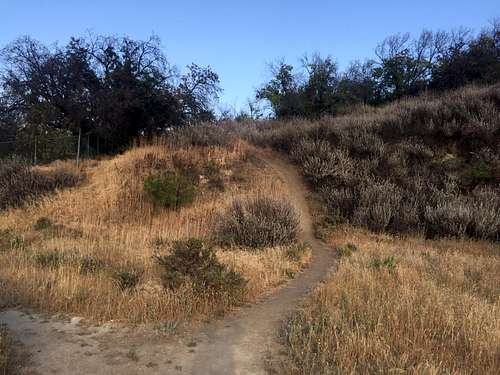
The start of the best option up and right
Getting There
Go north on Reseda Boulevard 2 miles past Ventura and park curbside for free.
Start of hike at curb on Resida Boulevard
Route Description
Chaparral with some nice valley views. Wildflowers in spring. Can get very hot. Not crowded. There are rattlesnakes and cayotes.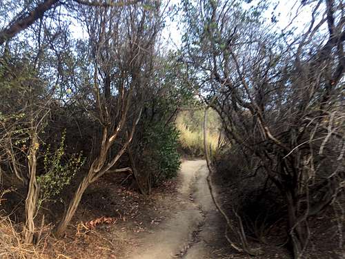
It might look shady but be prepared for hot sun