Toggle navigation
Mountains
Routes
Images
Trip Reports
Forum
What's New
People
Areas & Ranges
Articles
Trailheads
Canyons
Huts & Campgrounds
Albums
Logistical Centers
Fact Sheets
Lists
Custom Objects
Gear
Plans & Partners
WELCOME TO SUMMITPOST
SIGN IN
REGISTER
Cinder Cone
Additional Parents
Image
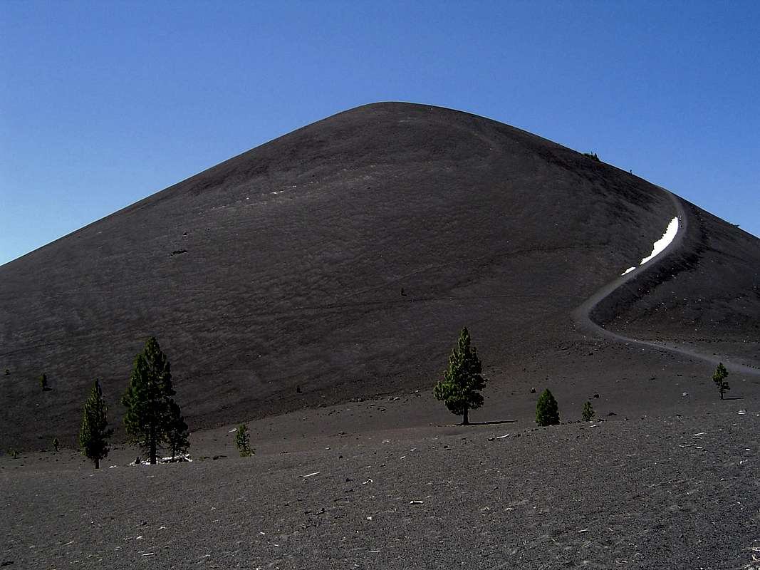
Cinder Cone summit trail
View High-Resolution Image
Cinder Cone summit trail
The heinous trail to the summit is visible on the slopes of the Cinder Cone.
« PREV
NEXT »
Bubba Suess
on
Mar 12, 2007 8:51 pm
Comments & voting
Other parents
Lat/Lon:
40.55555°N / 121.31653°W
Image ID:
277263
3417 Hits
75.81
% Score
6
Votes
Log in to vote
Comments
No comments posted yet.
to post!
Don't have an account?
Cinder Cone
(Mountain/Rock)
« PREV
Viewing
#9 of 43
GALLERY
NEXT »
Bubba Suess's Image Gallery
« PREV
Viewing
#462 of 1258
GALLERY
NEXT »
California Cascades
(Area/Range)
Loading....
×
You need to login in order to vote!
User Name
Password
Remember me
Forgot your password?
Log me out when I close my browser.
Keep me logged in all the time.
sign in as a user
Don't have an account?
Register now for FREE
Rating available
Suggested routes for you
People who climb the same things as you
Comments Available
Create Albums
Register Here


