
Viewing: 1-2 of 2

Grant - Jun 30, 2005 1:06 am - Hasn't voted
Special Thanks....You are turning out to be my southern comphadre (sp?). thanks for all of the submissions, now it looks like you need to climb this peak.

dherrera96 - Jun 30, 2005 12:26 pm - Hasn't voted
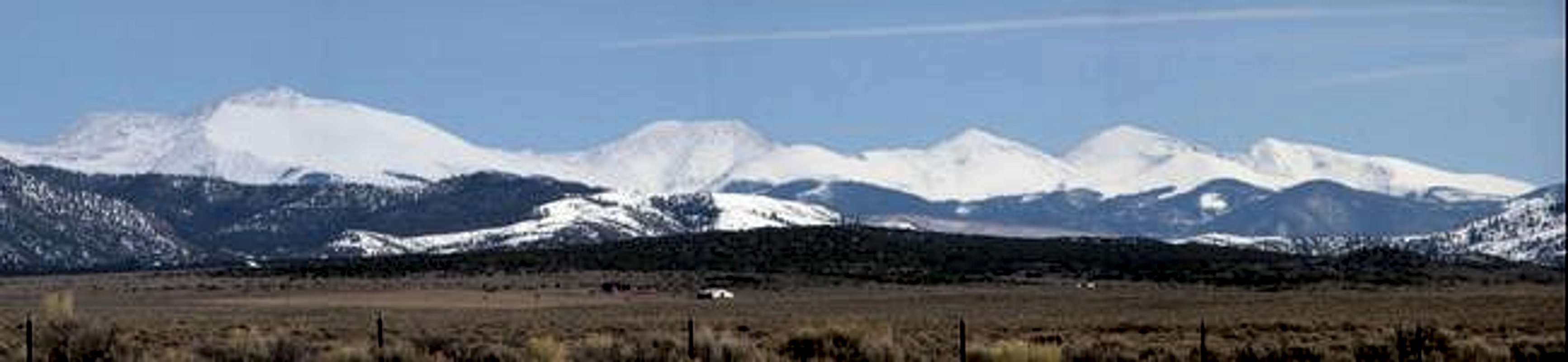
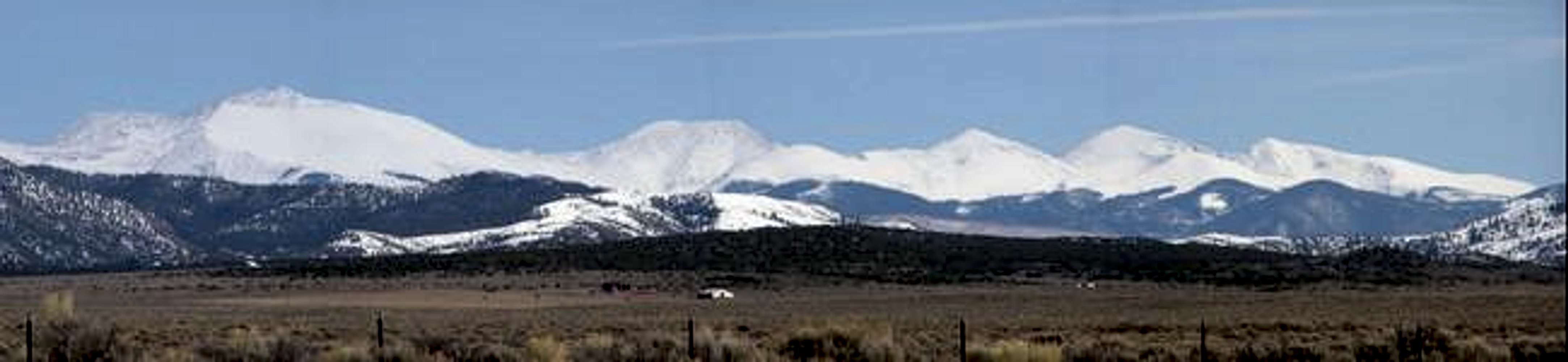
Re: Special Thanks....I just wish there wasn't so much red tape, which would make climbing this mountain so much easier. What really sucks is that climbing Culebra is on a weekend-only basis (for three months), AND RESERVATIONS ARE REQUIRED! This is definitely the most controversial of Colorado's 14ers.
Viewing: 1-2 of 2


Comments
Post a Comment