Welcome to SP!  -   
 
 New features are here! - Read More... 
Areas & Ranges·Mountains & Rocks·Routes·Images·Articles·Trip Reports·Gear·Other·People·Plans & Partners·What's New·Forum

DATE AND TIME: 070504, 1111;...

 
[ Sizes: Orig | Med | Small | Thumb ]
DATE AND TIME: 070504, 1111;...
DATE AND TIME: 070504, 1111;
LOCATION: Very obvious;
CAMERA: Olympus C-740 Ultra Zoom, 10x optical, 3x digital, 3.2 megapixel;
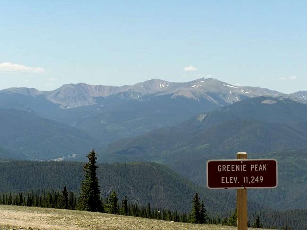
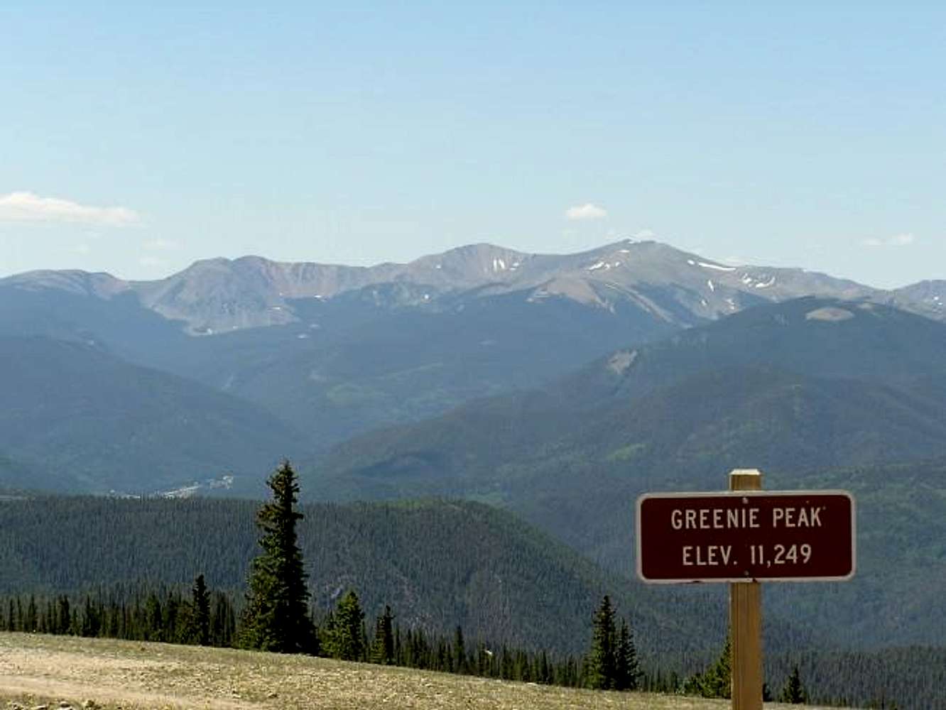
DESCRIPTION: Unlike Bobcat Pass, the Red River Pass dirt road and NM-578 (between Red River and Wheeler Peak Village), the actual summit of Wheeler Peak CAN be seen from the top of Greenie Peak. Mt. Walter and Wheeler Peak are to the right of Old Mike Peak (13,113'), which is the peak in the center. Taos Peak (11,257') is the long, flat peak on the far left, Taos Cone (12,227') is the large peak to the right of Taos Peak and Red Dome (12,688') is the rounded peak that is just slightly to the right of and partially overlapped by Taos Cone.

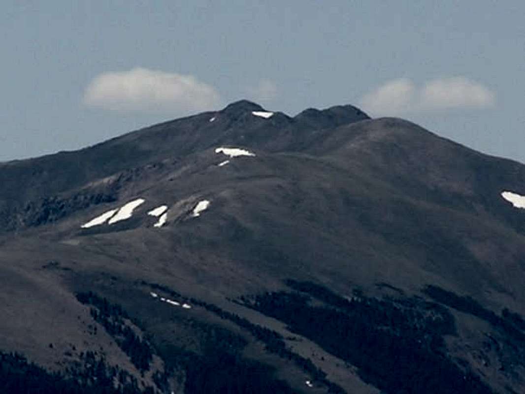
Here is a close-up view of Wheeler Peak, Mt. Walter and "Point 13,045", as well as a 
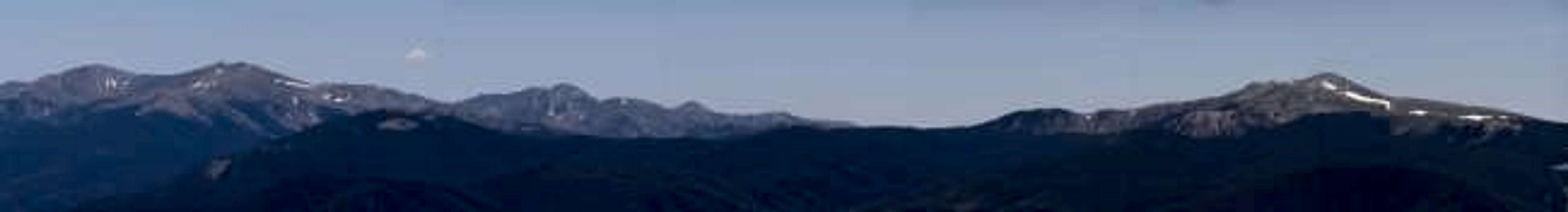
panoramic view, which includes Gold Hill.


Comments

No comments posted yet.


Sign in to post!

Don't have an account? Register now.


Rate This Image
Current Score: 86.72

Log In To Vote
 Wheeler Peak (NM) (Mountain/Rock)

Red Dome
« PREV

Viewing
#66 of 267
GALLERY
Williams Lake Panorama
NEXT »

 dherrera96's Image Gallery

DATE AND TIME: 051905, 1408;...
« PREV

Viewing
#16 of 160
GALLERY
DATE AND TIME: 110105, 1256;...
NEXT »


 Wheeler Peak Wilderness (Album)


Image Data

dherrera96Submitted by dherrera96
on Jul 7, 2004 2:05 pm

Image ID: 59679
Hits: 2446 

Lat/Lon: 36.55670°N / 105.4164°W


"It's such a fine line between stupid and clever."   --David St. Hubbins   

© 2006-2012 SummitPost.org. All Rights Reserved.