Toggle navigation
Mountains
Routes
Images
Trip Reports
Forum
What's New
People
Areas & Ranges
Articles
Trailheads
Canyons
Huts & Campgrounds
Albums
Logistical Centers
Fact Sheets
Lists
Custom Objects
Gear
Plans & Partners
WELCOME TO SUMMITPOST
SIGN IN
REGISTER
"Priord Peak"
Additional Parents
Shale Bench
Image
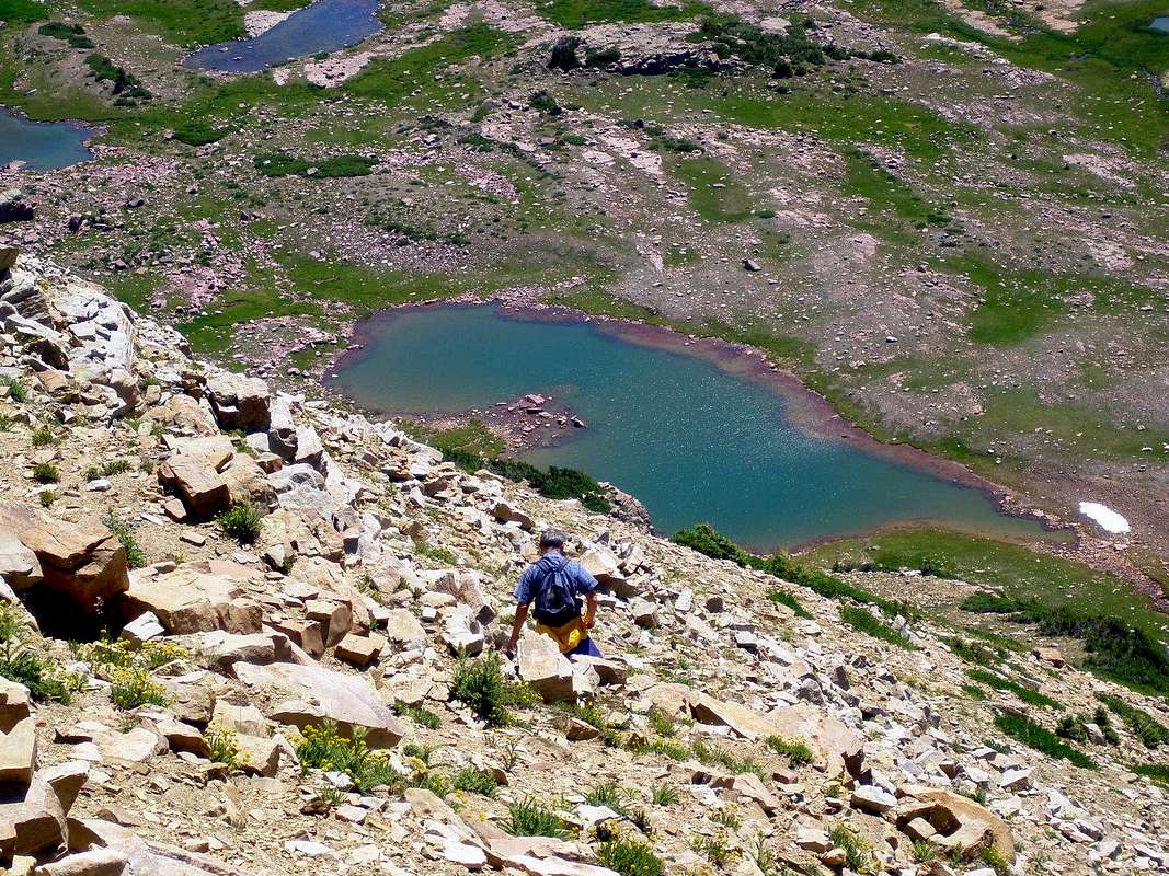
Descent to the Shale Bench
View High-Resolution Image
Descent to the Shale Bench
takes some routefinding since you can't see it until you are on it. Aim to the upper end of a long ribbon of krummholtz greenery rising to the right of the lake. 7/29/08 12:20 pm
« PREV
NEXT »
GeoPooch Sobachka
on
Aug 2, 2008 11:52 pm
Comments & voting
Other parents
Lat/Lon:
40.74349°N / 110.74176°W
Image Type(s):
Hiking
Image ID:
427591
1721 Hits
74.92
% Score
5
Votes
Log in to vote
Comments
No comments posted yet.
to post!
Don't have an account?
"Priord Peak"
(Mountain/Rock)
« PREV
Viewing
#20 of 32
GALLERY
NEXT »
GeoPooch Sobachka's Image Gallery
« PREV
Viewing
#180 of 304
GALLERY
NEXT »
Shale Bench
(Route)
Loading....
×
You need to login in order to vote!
User Name
Password
Remember me
Forgot your password?
Log me out when I close my browser.
Keep me logged in all the time.
sign in as a user
Don't have an account?
Register now for FREE
Rating available
Suggested routes for you
People who climb the same things as you
Comments Available
Create Albums
Register Here


