Toggle navigation
Mountains
Routes
Images
Trip Reports
Forum
What's New
People
Areas & Ranges
Articles
Trailheads
Canyons
Huts & Campgrounds
Albums
Logistical Centers
Fact Sheets
Lists
Custom Objects
Gear
Plans & Partners
WELCOME TO SUMMITPOST
SIGN IN
REGISTER
Broads Fork Twin Peaks
Additional Parents
Image
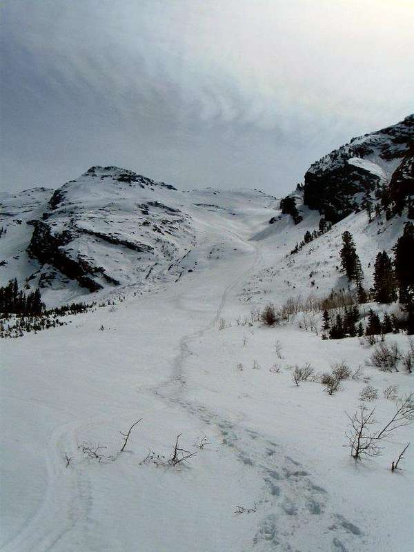
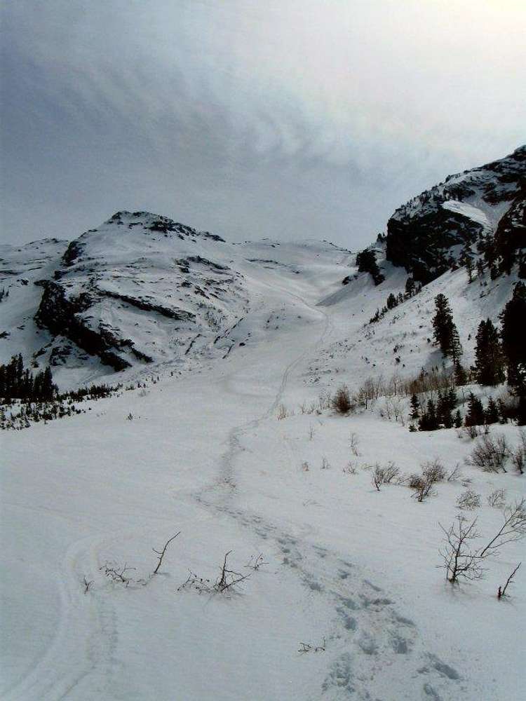
Descent Track
View High-Resolution Image
Descent Track
Our descent track down the
Robinson Couloir
, taken near the frozen-over beaver pond in Broads Fork. Photo date: May 7, 2010
« PREV
NEXT »
Joseph Bullough
on
May 10, 2010 10:23 am
Comments & voting
Other parents
Image ID:
620129
1594 Hits
74.01
% Score
4
Votes
Log in to vote
Comments
No comments posted yet.
to post!
Don't have an account?
Broads Fork Twin Peaks
(Mountain/Rock)
« PREV
Viewing
#100 of 305
GALLERY
NEXT »
Joseph Bullough's Image Gallery
« PREV
Viewing
#461 of 682
GALLERY
NEXT »
×
You need to login in order to vote!
User Name
Password
Remember me
Forgot your password?
Log me out when I close my browser.
Keep me logged in all the time.
sign in as a user
Don't have an account?
Register now for FREE
Rating available
Suggested routes for you
People who climb the same things as you
Comments Available
Create Albums
Register Here


