Welcome to SP!  -   
 
  MbPost.com -- It's SP for Mountain Biking!
Areas & Ranges·Mountains & Rocks·Routes·Images·Articles·Trip Reports·Gear·Other·People·Plans & Partners·What's New·Forum

Dobratsch ascent

 
[ Sizes: Orig | Med | Small | Thumb ]
Dobratsch ascent
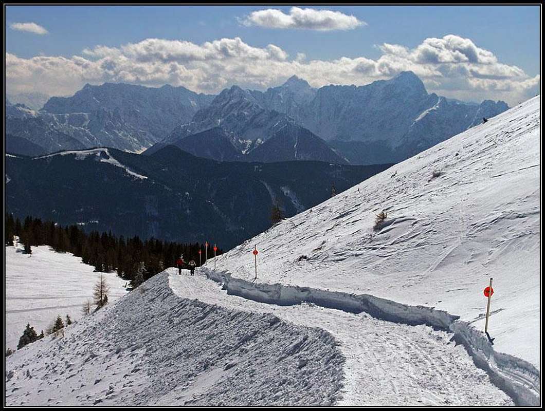
Tre road from Rosstratte parking place towards the summit of Dobratsch is closed for public traffic. But in winter it is well prepared and can be used for a easy walk up, a sledge tour or an easy ski tour. For good 400 meters of altitude you need 1 h 30 minutes, because you also need to do some distance. This is a section below Zehnernock. Foto: Jasmina Pogačnik, March 13th, 2010.


Comments

No comments posted yet.


Sign in to post!

Don't have an account? Register now.


Rate This Image
Current Score: 86.14

Log In To Vote
 Dobratsch (Mountain/Rock)

On the edge
« PREV

Viewing
#42 of 55
GALLERY
A self-made map of Dobratsch...
NEXT »

 Vid Pogachnik's Image Gallery

In Parabola waterfall
« PREV

Viewing
#4418 of 5901
GALLERY
On the edge og Monte Tiscali chasm
NEXT »
Image Data

Vid PogachnikSubmitted by Vid Pogachnik
on Mar 21, 2010 7:47 am

Image ID: 606293
Hits: 241 

Lat/Lon: 46.59615°N / 13.70235°E

Image Type(s): Skiing


"As we are aging, we must really take care not to grow up!"

© 2006-2012 SummitPost.org. All Rights Reserved.