Dog Mountain (Lennox Creek/North Fork Snoqualmie) 11-20-2013
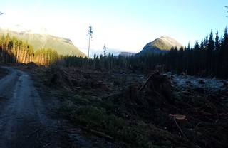
I got an early start to make the most of the sunshine that was forecast for Wednesday. We were delayed for about 10 minutes on the long drive down the North Fork County Road by a truck that was being loaded with recently logged timber. Fresh asphalt now continues a few hundred feet past the "Spur 10" gate, it looks like new homes may be soon to come. Lights from more logging could be seen a few thousand feet up on the West end of Phelps Ridge.
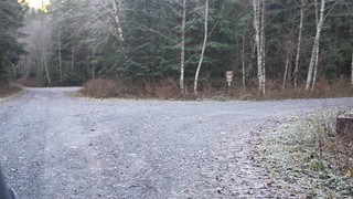
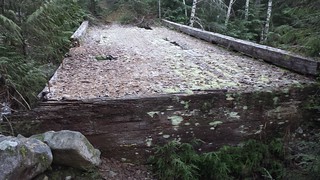
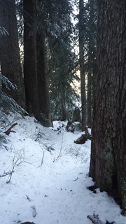
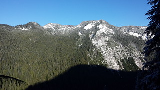
We hit the trail at 7 a.m. with just enough light to leave the headlamp in the bag. Bits of snow appeared on the roadside before the barrier, less than 1/4 mile past the Bare Mountain Trailhead. The road/trail beyond the barrier was only slightly overgrown, but would have been much worse before fall. A few inches covered the ground by the time we reached the two consecutive bridges about a mile in. Shortly after that was a fork in the road, where we continued on the obvious trail to the right. Bare Mountain and the West ridge of Dog Mountain faded in and out of view along the way. The trail began at the roads end another 1/4 mile later.
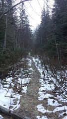

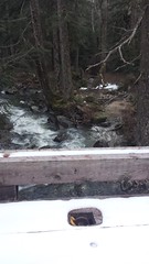
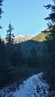
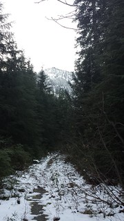
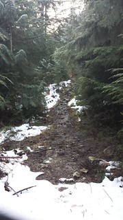
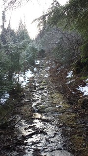
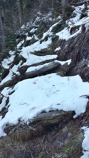
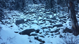
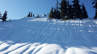
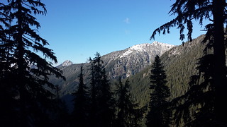
It was more creek than trail for the first mile until several inches of snow covered the ground. Goat Mountain and Point 5743 were each visible at a few different points along the way. I couldn't make out any boot prints but the trail was slightly packed and easy to follow up to about 4000' where I may have stumbled upon a trail leading toward Cougar Lake. Several feet of mostly consolidated snow covered everything from there up and occasional potholing convinced me to wear snowshoes the rest of the way, but they were less than useful for the last stretch of traversing over firm snow just below the thickly wooded ridge from the west.
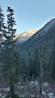
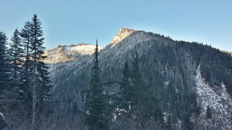
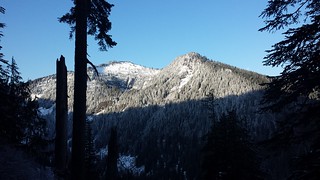
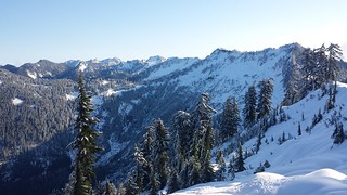
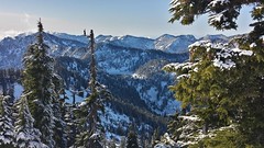
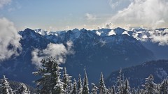
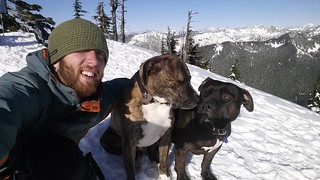
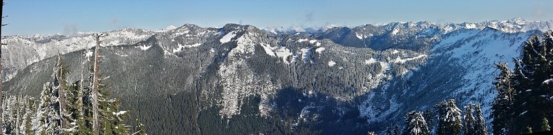
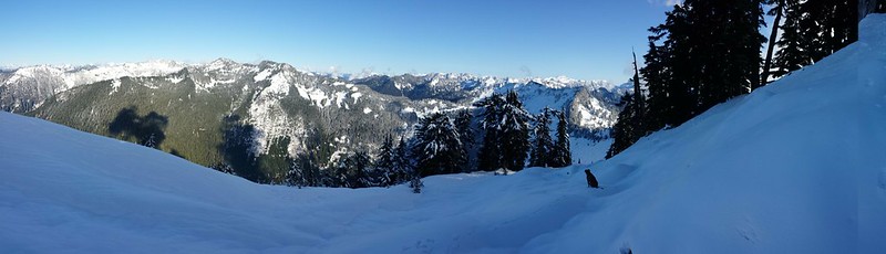
Views were spectacular all around, obscured only by a few trees on the west side of the summit and the steady flow of clouds rising from Taylor River Valley. Tahoma was just visible through thick haze that was lit up by the low Sun. Baker and Glacier Peak both rose just above the ridges to the north. I particularly enjoyed seeing Treen Peak and Mount Garfield so close up, and distinctive Chair and Kaleetan Peaks behind them. The heavy winds described by other climbers were absent, allowing us to enjoy the sunny summit for about 2 hours before packing up.

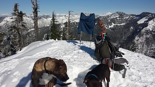
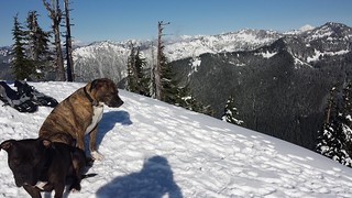


Snowshoes went back in the bag for the way down, as the snow on the shady north face had stiffened quite a bit in the 2 hours I spent at the top. My ascent route after leaving the trail was direct and incredibly steep, so I stayed closer to climber's left and found a more mellow descent for the dogs. We didn't see any other life beyond the National Forest boundary all day. It would seem that, at least on a weekday, some solitude can still be found down the North Fork.

4 hours up, 2 1/2 hours down
8.5 miles round trip
~4800 feet gain
My Blog
Comments
No comments posted yet.
