Toggle navigation
Mountains
Routes
Images
Trip Reports
Forum
What's New
People
Areas & Ranges
Articles
Trailheads
Canyons
Huts & Campgrounds
Albums
Logistical Centers
Fact Sheets
Lists
Custom Objects
Gear
Plans & Partners
WELCOME TO SUMMITPOST
SIGN IN
REGISTER
Mount Tammany - Delaware Water Gap
Additional Parents
Image
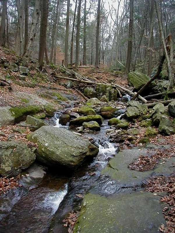
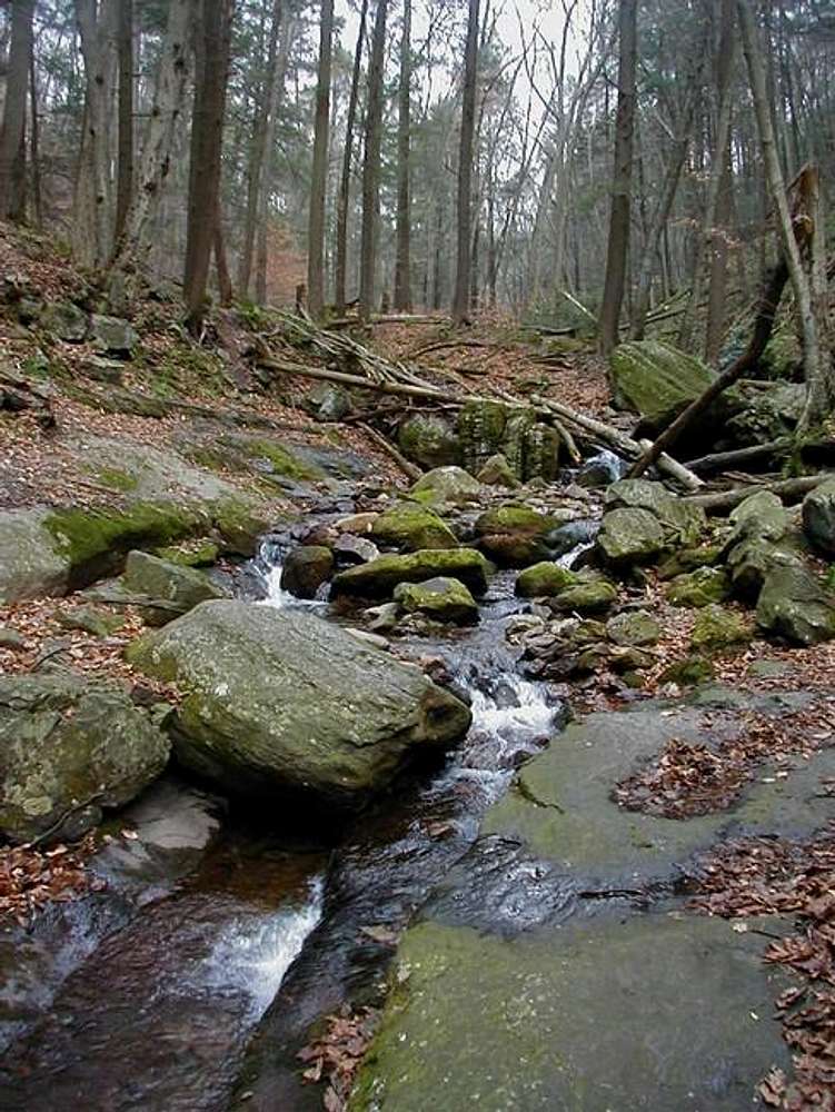
Dunnfield Creek flows down...
View High-Resolution Image
Dunnfield Creek flows down...
Dunnfield Creek flows down from Sunfish Pond on the slopes of Mount Tammany. December 2, 2001.
(photo resubmitted now that the DWG has been split between states)
« PREV
NEXT »
CharlesD
on
Mar 3, 2005 5:26 pm
Comments & voting
Other parents
Lat/Lon:
40.96930°N / 75.1113°W
Image ID:
92998
4229 Hits
74.09
% Score
6
Votes
Log in to vote
Comments
No comments posted yet.
to post!
Don't have an account?
Mount Tammany - Delaware Water Gap
(Mountain/Rock)
« PREV
Viewing
#7 of 39
GALLERY
NEXT »
CharlesD's Image Gallery
« PREV
Viewing
#211 of 325
GALLERY
NEXT »
×
You need to login in order to vote!
User Name
Password
Remember me
Forgot your password?
Log me out when I close my browser.
Keep me logged in all the time.
sign in as a user
Don't have an account?
Register now for FREE
Rating available
Suggested routes for you
People who climb the same things as you
Comments Available
Create Albums
Register Here


