
-
 12481 Hits
-
 84.82% Score
-
 19 Votes
|
|
List |
|---|---|
|
|
Aosta Valley Southeastern and Piedmont Northwestern Valleys |
|
|
360° OVERVIEW > to Gran Paradiso & Southeastern Graian Alps > to 105° ~
MONT BLANC/JORASSES/VERTE and 33 MOUNTAIN CHAINS of the AOSTA VALLEY & SURROUNDINGS AOSTA VALLEY 360° from West to East and from East to West in TOPOGRAPHIC clockwise system and order from Seigne Pass towards Seigne Pass (PARTS A+B+C+D+E+F+G).
SIXTH PART (F):
PART F)- AOSTA VALLEY PART D)-SOUTHERN PARTIAL HALFCIRCULAR PERIMETER (105°~) OUTSIDE AREA from East to West and in PIEDMONT INSIDE AREAS to South-Southeast (FORNO-Groscavallo Valley).
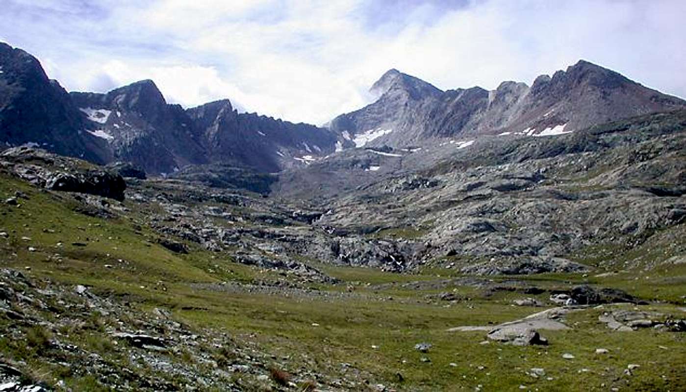
![]()
Sixth Part
of this work aims to illustrate all the mountains that belong to the Gran Paradiso Group in the broadest sense, in fact, in addition to the Massif with its major satellites as well known and popular, speaks and says in a very concise, also other Graian Eastern, Southeastern and Western than the Maximum Peak (4061m). In doing so you are ahead of both the "barriers" of what is understood by the various Mountaineering and Climbing Guides, and the boundaries of the National Park of Gran Paradiso (P.N.G.P.), as laid down by treaties with the Park Authority, in order to span the whole Alpine region between the Central Valley of the River Dora Baltea from the Valley of Rhemes (Municipalities of Rhemes, Introd, Arvier and Villeneuve) to that of Pont Saint Martin at the end of the Aosta Valley Region, as well as Appendices ranges that descend towards the Plain of Ivrea Town. In the opposite direction is aimed at all the mountains and passes that make up the border with the Piedmont Region and the first French Isère Valley to the West later. Indeed in Ancient Map all this vast area is indicated, for the sector of the Gran Paradiso and peaks of Valsavaranche, Rhemes and Valgrisenche, with the generic name of Monte Iseran or, even more simply, the Iseran; those aimed more at Southeast are indicated by the placename of Monte Soana, to note the proximity of this long valley that extends along the course of the River Orco, beyond the watershed.
In Section F1 are taken under review, from East to West, all the hills, passes, passes, cols, collars and carvings, conceivable that exist. Of the same is always described the route from the South to the North, or from Piedmont to the Valley of Aosta; ss for the crossings between the Valley is the criterion used opposite direction, ie from the Valley to the Isère. Also the routes are accompanied at all times, which does not exist in any other publication, except in a partial or even occasional, the indication of existing signs. This applies to both local paths (circular panel with yellow signs with black lettering and signs Time traveling or simply on the rocks or on the pastures along the way), always similarly for the paths Intervalleys (signs rectangular) or the "Alta Via No. 2" of the Aosta Valley (panneaux triangular). It has been a daunting job that should have been made by the Region of Aosta Valley in 1987 with the publication of a Topoguide for the Hikers, as a result of another great run of five experts available with a remarkable group of Mountain Guides in charge, through a special form, the task of reporting on the same walk the trails all that was found in terms of usefulness and interest. This area was my relevance to the border between the Champorcher Valley and that of Cogne, went over the Mount Guide Aosta Peter Genola (Cogne and Valley of Rhemes ). To complete the discussion we mention also the expert Alexander Giorgetta Milan (Graian of Valgrisenche with the Central Group Rutor and Mount Blanc Mountain Chain), Alpine Guide Valpelline Massimo Bragalenti (Central Valleys of Dora Baltea, Great Saint Bernard and Valpelline) and Guide of Aosta Pietro Giglio (Matterhorn and Mount Rosa and related Appendices to the Southern Dora). We said, all this works, which lasted over a year, had to "lead" in two publications: one for the Northern Basin, ie to the Northern of the course of the river basin left ("Adret"), and the other to the south in the opposite direction, called in Aosta's Valley the "Envers", because, although they turned South of the river, corresponds to the less sunny, as covered by mountains. They never saw the light. As often happens in politics, changed the top of the Assessor changed the programmatic indications. So that he was already stuck the signs!
In Section F2 are simply listed all the peaks existing in this area, even the smaller and less known. The numbering of the same has been completely changed, at this time is to be reviewed as a whole, since the work unit initially, given the large volume, it has been divided into Seven Parts specifications. In this area, which actually begins the descriptive discourse in a circular 360° view of the entire Valley of Aosta, was assigned the number 1 to 13, completely changed, so, of course, for all the Parties to follow with a rotation to the West, or from the Mount Blanc, and from this a return to the East in the direction of Mount Rosa and its Appendices Southern, such as to close the description of circular 360° throughout the Aosta Valley.
The list stops at the Group of Mount Emilius, since the analysis of the traverses of the passes, as well as the account of the peaks into relative ranges, will continue in "G) - GREAT SASSIERE - RUTOR HEAD or HEAD Seventh Part".
***
Am the True KING of the GREAT HEAVEN, these Mountains are the SKIES of My Glory,
by maria grazia s
![]()
^^^^^^^
Questa Sesta
parte del lavoro ha lo scopo d'illustrare tutte le montagne appartenenti al Gruppo del Gran Paradiso in senso lato; infatti, oltre al Massiccio con i suoi satelliti più importanti nonché conosciuti e frequentati, parla e racconta in maniera alquanto sintetica, anche delle altre Alpi Graie Orientali, Sudorientali ed Occidentali rispetto alla Vetta Massima (4061 m). Così operando si superano sia le "barriere" di quanto inteso dalle varie Guide Alpinistiche, sia i confini del Parco Nazionale del Gran Paradiso (P.N.G.P.), come stabiliti dai trattati con l'Ente Parco, onde spaziare su tutto quell'arco alpino compreso tra la Valle Centrale del Fiume Dora Baltea dalla Valle di Rhemes (Comuni di Rhemes, Introd, Arvier e di Villeneuve) fino a quello di Pont Saint Martin al termine della Regione Valle d'Aosta, nonché le Appendici montuose discendenti in direzione della Pianura della Città d'Ivrea. In senso opposto si rivolge a tutte le montagne e valichi costitenti il confine con la Regione Piemonte dapprima e con la Francese Valle dell'Isère in seguito verso Ovest. Anzi nelle Antiche Mappe tutta questa vastissima Area viene indicata, per il settore del Gran Paradiso e vette della Valsavarenche, Rhemes e Valgrisenche, con il generico nome di Monte Iseran oppure, ed anche più semplicemente, l'Iseran; quelle rivolte più a Sudest vengono indicate con il toponimo di Monte Soana, ad annotare la vicinanza di questa lunga valle che s'estende lungo il Corso del Torrente Orco, al di là dello spartiacque.
Nella Sezione F1 vengon presi in rassegna, da Est verso Ovest, tutti i colli, passi, valichi, colletti ed intagli, possibili ed immaginabili, esistenti. Dei medesimi viene descritto l'itinerario sempre da Mezzogiorno verso Settentrione, ovvero dal Piemonte verso la Valle d'Aosta; mentre per gli itinerari dalla Valle alla Valle dell'Isère di é utilizzato il criterio opposto, ossia da Settentrione a Meridione. Inoltre gli itinerari sono sempre accompagnati, cosa non riscontrabile in nessun'altra pubblicazione se non in maniera parziale od addirittura occasionale, dalle indicazioni di segnaletica esistenti. Questo vale sia per i percorsi locali (segnaletica con pannello circolare giallo con scritte in nero ed indicazioni sull'orario di percorrenza o più semplicemente su massi o sugli alpeggi lungo il percorso), sempre similmente per i percorsi Intervallivi (cartelli rettangolari) o per l'"Alta Via Numero 2" della Valle di Aosta (panneaux triangolari). S'é trattato d'un lavoro improbo che avrebbe dovuto essere effettuato dalla Regione Valle di Aosta nel 1987 con la pubblicazione d'una Topoguida rivolta agli Escursionisti, a seguito d'un altro grande eseguito da cinque esperti con a disposizione un notevole gruppo di Guide Alpine incaricate, tramite apposita scheda, del compito di percorrere i sentieri segnalando sulla medesima tutto ciò riscontrato in fatto di utilità ed interesse. Questa zona era di mia pertinenza, fino al confine tra la Valle di Champorcher e quella di Cogne; oltre proseguiva la Guida di Aosta Pietro Genola (Cogne e Val di Rhemes). Per completare il discorso citiamo inoltre l'esperto Alessandro Giorgetta di Milano (Alpi Graie Centrali dalla Valgrisenche al Gruppo del Rutor e Catena del Monte Bianco), la Guida di Valpelline Massimo Bragalenti (Valli Centrali della Dora Baltea, Gran San Bernardo e Valpelline) e la Guida di Aosta Pietro Giglio (Cervino e Monte Rosa, nonché relative Appendici Meridionali fino alla Dora). Dicevamo, tutto questo lavoro, durato oltre un anno, doveva "sfociare" in due pubblicazioni: una rivolta al bacino Settentrionale, cioé a Nord del corso idrografico sinistro del fiume ("Adret"); l'altra a Sud nel senso opposto, chiamato in Valle d'Aosta l"Envers", perché, pur essendo rivolto a Sud del fiume, corrisponde alla parte meno soleggiata, poiché coperta dalle montagne. Queste non videro mai la luce. Come succede spesso in politica, cambiato il vertice dell'Assessorato, cambiarono le indicazioni programmatiche. Già tanto che venne infissa la cartellonistica!
Nella Sezione F2 vengono semplicemente elencate tutte le vette esistenti in questa Area, anche le minori e meno conosciute. La numerazione della medesima é stata completamente cambiata, poiché il lavoro inizialmente unitario, visto l'ingente volume, é stato suddiviso in Sette Parti specifiche. A questa Area, che in realtà inizia il discorso descrittivo in senso circolare a 360° su tutta la Valle di Aosta, é stato attribuita la numerazione da 1 a 13, completamente variata, così, logicamente, per tutte al Parti a seguire con una rotazione verso Occidente, ovvero il Monte Bianco, e da questo un rientro verso Est in direzione del Monte Rosa, nonché le sue Appendici Meridionali, tali da chiudere la descrizione circolare a 360° per tutta la Valle di Aosta.
L'elencazione si ferma al Gruppo del Monte Emilius, poiché l'analisi delle traversate dei colli, nonché la descrizione delle cime all'interno delle rispettive catene montuose, continuerà in "G)- GREAT SASSIERE - RUTOR TESTA or HEAD Seventh Part".
![]()
LEGENDA
In red: paths, routes, cable railway, chair lift & main roads;
in green: Summits, Spurs, Buttress, Spires;
in blue: Glaciers, Lochs, Ponds, Streams, Torrents, Brooks & Fountains;
in purple: Passes, Saddles, Hills, Brèches, Carvings & Collars;
in brown: Historical Remarks, Sanctuaries, Hermitages, Oratories, Castles, Churchs, Chapels, Crosses, Cairns, Tumulus, Mines, Historic Bridges or Roads, Campings, meaning of place names & various informations.
Gugliasco/Carnei Inf.-Succinto Alps), Punta Cavalcurt, Cima Vallone, Chiaromonte Refuge (2017m, in South with Cima Chiaromonte, 2144m), Vallone Pass (2043m, between Scalaro-Muande Inf./Chiaromonte-Traversella by paths---> n° 831 GTA and in descent by---> n° 719, GTA, 719, Cima Bracca, Cima Biollay (1984m; +; X ironmines in Southwest), Pian del Gallo Pass (1891m; between Tavagnasco-Barzino Sup./Grange di Pian Gallo in Northeast, by path---> n° C6, /Traversella (Mineralogic Museum; X iron and coppermines in quota 997m), Pian dei Francesi Pass, Naverano Pass (1907m; from Tavagnasco also Quassolo (261-322m), by main routes to S. Maria Maddalena, Ugiasso, Grange Reali (1685m), in Northeast by path---> n° 724, B1/Grangia Crose-Traversella), Monte Gregorio, (1953m; +), le Colme; Monte Betogne, Torretta delle Cime (1564m) in South between Assa/Savanca Valleys; Mule Pian Pass (1448m, between Tavagnasco-Quassolo/Brosso (767m) in Assa Valley), Monte Cavallaria (1478m; +; above Quassolo/Baio Dora (250-258m) little Towns).
From Southern AOSTA Valley to CHIUSELLA Valley.
c1)- From Donnes (858m) by route near Bonze Torrent and path---> n° 4, AV n° 2 to Plan Mery Desot, Damon, Mont Meillant, Mognissola (1350m), Bochet, Giassit-de-Mouilla, Posseuil, Mouillà, quota 1837m, Yves Damon (2082m); from quota 1837m in Southeast by traces to Finestra Pass (2295m); from pass to Tonfrà, Miassa, crossing Finestra Rio, Varanda, Cappia Alps, Chiara Molino (Chiara Watermill; 926m, near Camping) in Chiusella Valley.
c2)- From quota 1837m, by South direction and moraine, to Andelmel Pass (2354m). From pass, by South direction and doubtfouls traces along Rio (Torrent) Tagliante, to Vailet Tableland in quota 2150m~ (below Vailet Alp, 2229m), Truch, S. Pietro in Vincoli/Pianezza, Vaccares, Sotre, Vernei, Chioso Alps and to Succinto Village (1155m; + S.S. Trinità). From village, by regional route, to Traversella Village in Chiusella Valley.
c3)- From Yves Damon Alp to quota 2175m by path---> n° 4 and, by South direction and moraine, to Vailes Pass/Mount (2556, 2618m); from pass, before by traces, after path, to Vallera Alp (2229m), Pietrafraccia, Reia di Vico, Saut, Canton Tissone Pastures and Tissone Village (1307m; + S. Domenico) to Fondo Village (1075m), Mount Marzo Refuge (1074m) in South.
B)- BETWEEN PIEDMONT-Chiusella Valley (South) and AOSTA VALLEY-CHAMPORCHER Valley (North) and:
Savenca, Acra or Sacra, Verdassa Valleys, INSIDE AREAS.
1)- From Banchette of Ivrea (259m; Exit out Autoroute A5 from Torino or Milano Cities to Aosta Town; S. Cristofero Castle) to Finrano Canavese, Lessolo, Alice Lake, Alice Superiore, Meugliano, Vico Canavese, Drusacco, Traversella (817m; +; SS. Trinity; X iron and coppermines) Villages.
2)- From Banchette, by SS n° 565 to Castellamonte, Strambinello, Vidracco artificial Lake, Vistrorio, Gauna, Alice Superiore (602m; Camping Valchiusella; + S. Martino, S. Rocco).
3)- From crossroads 581m before Alice Sup. to Rueglio little Town (664m; + SS. Filippo and Giacomo), Calcinasca, Case Frascallo, Case Piaz, Trausella little Town (643-661m; + S. Grato), Case Veise, Case Ciapei, Case Frescale, Inverso (740-774m; + Visitazione) Case Guarda, Prelle Bridge, Traversella.
4)- From Turin City SS 565 to Rivarolo Canavese, Baldissero, Castellamonte little Towns, Vidracco artificial Lake and Bridge, Quaglie Bridge up Quaglia Rio, Vistrorio little Town (468-489m; + S. Bartolomeo; + Jesus Presentation , next to Lugnacco 547m) and preceding routes to Traversella in Chiusella Valley.
From Traversella to Fornello (983m) Village in North-northwest, near Bersella Rio, in little valley. Towards Chiara/Succinto/Fondo/Valchiusella/Tallorno Villages, by main road in Northwest.
d1, d2, d3, d4, d5, d6)- From Traversella, along Chiusella Torrent, by main road, Case Meugliasco, Molino di Chiara (Roman Bridge; + Vacci Chapel, 928m), S. Antonio, Fondo (Roman Bridge) in Chiusella Valley towards:
d1)- by main road to Molino di Chiara (Chiara Camping, 870m), S. Antonio, Fondo (1075m); in Northwest by path, Tissone-S. Domenico (1307m) Village. From village towards Canton Tissone, Saut, Reia di Vico, Pietrafraccia (1996m) Alp between Pietrafraccia/Maras Torrents, Vallera (2229m) Alp and, by moraine, to Vallera Pass (2369m); from pass, by traces, Northwest direction, towards Cholire little Lake (2017m) and Alp. From Cholire to Balma, Sest, Creppa, Buriana, Vieille, Valsemma Desot Alps, and, by path---> n° 2, to Retempio Sanctuary (Retempio Refuge (1445m), in Brenve Combe (= little valley). From refuge, by path n° 2, AV n° 2 to Penna, Glair, Crest Damon - S.S. Giorgio and Caterina Alps (Dortoir or Dormitory); by path to Crest Village and, by route, to Arberey Alp, near Ratus Ravine/Gorge in Brenve Torrent (850m~), Creux, Foilettaz, Pont Bozet (780m) Villages in Champorcher Valley.
d2)- From Tallorno (1214m), by North-northwest direction and path, to Pian Grande, Pera di Cros (+), Dondogna Inf. and Sup. (2135m) Alps, near Dondogna Torrent, Dondogna Pass ; from pass, by North direction and traces in moraine in small valley towards Cholire Lake and same route. *** Connection path "Sentiero dei Mufloni" (= Mouf(f)lons Path) between Reia di Vico (1755m)/Dondogna Inf. (1805m) Alps.
d3)- From Tallorno by main route to Roman Bridge (1597m) up Chiusella Torrent and Pasquère Alp (1489m), in West up Valbella Rio; by North direction and of path traces in Valbella little Valley to Valbella Inf, Sup, (1923, 2167m) and Valbella Pass (2345m). From pass, by rubbles, debris, moraine and a sheer in diagonal, to Northwest Leseney Lake (2188m). From lake (source), by evident path, to Reya-di Cré (source), Brengole d'Arby Also Bréngole or Grangia Derby and, by path---> AV n° 2, Créton, Lettaz Desot, Lavassey, Mial(l)et, Fontana, Crest in Brenve Combe and, by main route Pont Bozet.
d4)- From Roman Bridge by path n° 708, GTA (= Alps Great Traverse or Crossing) to 1549 m Alp and Pra Alp and by traces in Corni double little Valley to Prel, Corni Inf., 2513m Alps, Cornits Pass (2548m); from pass, by moraine, to Breuil, Barme Alps (2088m) and, by path---> n° AV 2, to Brengole d'Arby, Fontana, Crest, Pont Bozet.
d5)- From Corni Inferiore Alp (2089m) by path traces and Corni Pass (2619m) to, by moraine, in quota 2385 m path---> n° AV 2, below Fricolla Pass; by path to Legna Valley in crossroads with path 4D, near Chenessy Alp. By this path and--->4B to Saint Antoine-Maisons Vieilles, Sanavens, Ourty Plan Bouch, Porte Alps, Cret Chapel and Outre l'Eve Village (1229m) in Champorcher Valley.
d6)- From Pra Alp (1624m) by path---> n° 708, GTA to alternative 2208m and by traces and moraine in terminal part to Orti Pass (2626m); from pass, by moraine, to three Gelés Lakes and by traces/path n° 4D, AV n° 2 to Legna Valley and Outre l'Eve Village.
CHIUSELLA Mountain Chain PERIMETRAL and INSIDE AREAS from Southeast to Northwest and from Northwest to South: Monte Cavallaria (1478m; +), Monte Gregorio (1953m; +); le Colme, Monte Betogne, Torretta delle Cime up Traversella/Vico Canavese little Towns (817, 695-759m); la Cima, Cima Biolley, Cima Bracca, Cima Vallone, Chiaromonte refuge (2017m) in South, Punta Cavalcurt, Cima di Bonze (2516m), +), Bec delle Stri(j)e, Mont Vailet (2613m; +), Mont Debat (2618m; +), Punta Dondogna, Pointe de Pasquère, Cima Prel, i Tre Denti, Monte arbueil, Monte dei Corni (2778m; +), Monte Marzo (2755m; +), Cima delle Chiose, Buffa, Arlèns Pass, Punta Liamau (2727m; +), Monfandì (2816m; +), Monte Giavino, Bordevolo Coastline, Cima di Pal, Punta Rama, Monte Cavallo, Punta Prafoura, Punta di Verzel, Fornetto Refuge (2140m) in East, le Rocce Bianche (1942m; X quartzmines), Monte Calvo, Truc Cravaria or delle Piane.
INSIDE AREA: Savenca Valley. From Ivrea/Alice Superiore/Rueglio or from Issiglio also from Castelnuovo Nigra, by main roads, to little Savenca Valley, between Valchiusella in East and Sacra or Acra Valley in West.
d7)- From Rueglio (678m) routes to Buracco Pass and, by path, Bossola Pass (1362m) and Cima di Bossola (1510m; +).
d8)- From Castelnuovo Nigra (825m), by route, to "Visitazione" (1049m) and, by North direction and path---> n° 2VP, to Monte Calvo (1359m; +).
d9)- From Issiglio (482m) and by route to Miglierano, Sauvetti, Alp 772m and, by path along Savenca Torrent, to Maria Maddalena Sanctuary (1044m).
SAVENCA Mountain Chain from East to West: Bric di Lavesso, Cima Spinalbo (909m, up Rueglio-Issiglio little Towns, 664 and 490m), Cima di Bossola (1510m; +), Bossola Pass (1237m, between Chiusella/Savenca Valleys), Mont Lion (2010m), Loetto Pass (1930m, between Chiusella/Savenca Valleys and by path ---> n° 2 from Succinto-S. Antonio (1063m). Or from> Vachiusella-Fondo (1075 m, by main route to Piera Alp (1678m) and path---> n° 2 to Granairol, Miunda (1744m) Alps). Gran Munt, Cima la Rubbia, Quota 2619m, Cima di Pal, Punta Rama, Monte Cavallo, Punta di Verzel, Fornetto Refuge (2140m) in East; Bric Pistone (1899m, inside in Southeast), , le Rocce Bianche (White Rocks; quartzmines in Northwest 1942m and in Southeast 1895m), Monte Calvo, Truc delle Piane or Cravaria (931m) above Castelnuovo Nigra little Town (811m, S. Vittore and S. Sebastiano; +).
INSIDE AREA: Acra or Sacra Valley. From Castellamonte/Cuorgné (414m) little Towns to Borgiallo, Colleretto Castelnuovo, Cintano, Castelnuovo Nigra (S. Sebastiano-S. Vittore), Scandosio, Caretto Inf, Caretto Sup. Villages, Visitazione Sanctuary (1049m), Fontanefredde, Vernetto Alps and il Colletto (1270m), le Nere, Frera (1462m), Alps and by Northywest direction and path---> n° 913 to Fornetto Refuge (2140m), below Punta di Verzel (2405m).
ACRA or SACRA Mountain Chain from East to West: Truc delle Piane or Cravaria (931m), Monte Calvo (1539m; +), Punta di Verzel (2405m; +), French Tableland and small Pass 2168m, Quinseina North Point, South or Saint Elisabeth, i Tre Denti.
INSIDE AREA: Verdassa Valley. From IVREA City, Castellamonte, Cuorgné, Pont Canavese (451m) little Towns, by State n° 565, 460 and main routes, to Epiallo, Canteletto, Bausano, Configlie, Gea, Stroba (710m) little Villages and from quota 880m~ in main route (+) by Northeast direction to Verdassa Valley: Alberetto, Beirasso, Fenoglia, Monteu, Quenio, Balma di Chir, Cavanna, Alp 1860m.
Also from Pont Canavese towards Fontanagrossa, Madonna Bellosguardo (983m; +), Capelli (1043m), Frassinetto, Borgiallo, Molini, Tetti, Cereser, Lassere, Berchiotto, Fraschietto, Balma, Monteu (1240m) in Verdassa Valley.
VERDASSA Mountain Chain from East to West: i Tre Denti (1766m), Quinseina Points: South or S. Elisabetta (2224m, +) and North (2312m; +), Punta di Verzel (2405m; +), Punta Prafoura, Monte Cavallo, Punta Rama, Savenco Pass (2375m; traces, between Savenca/Verdassa Valleys), Cima di Pal, Bordevolo Coastline, Monte Giavino (2765m; +), Pra Pass (2379m, between Chiusella/Valprato Soana Valleys by path---> n° 8, VA and near Quota 2712m to Verdassa Valley and up Verdassa Lake, 2381m), Cima Carpior, Monte Alto, Monte Bettassa (1273m).
C)- BETWEEN PIEDMONT - LOCANA-Soana (Piamprato/Campiglia/Forzo) Valleys (South) and AOSTA VALLEY - CHAMPORCHER-COGNE-SAVARENCHE Valleys (North) and:
BETWEEN PIEDMONT - LOCANA-Ceresole Reale Valley (Northeast)/ISERE Valley (FRANCE) (Southwest) and besides:
EXTERNAL AREA between LOCANA or ORCO (North)/FORNO-Groscavallo (Southeast) Valleys.
STATE and Main Roads APPROACHS:
From IVREA City to Castellamonte (by SS n° 565) and to Cuorgné little Towns to Pont Canavese, Sparone, Locana, Rosone, Noasca, Ceresole Reale Villages in LOCANA or ORCO Valley, by State Road n° 460 (SS n° 460).
From Pont towards Verdassa Valley in North-northeast and, by main route in Northwest, Ingria in Soana Valley.
From Ingria/Viretto/Rastut/Villanuova/Bosco Villages, by main road, to Ronco Canavese Village.
From Ronco in Northwest, by main route, to Tressi. In North, by main road to Valprato Soana, Campiglia Soana, San Besso Villages and in Northeast, by main road, from Valprato Village to Piamprato Soana Village in Soana Valley.
SOANA-Piamprato/CHAMPORCHER Valleys:
e1)- From Valprato Soana (1116m) Village to, by route, Cugnone, Ronchietto, Fontanetta, Gran Beirano-Madonna della neve, Pianprato (1551m) in Pianprato Valley. From Pianprato Village in Northeast and by path---> n° 631 to Grange Santanel and Morto Lake (2252m); from lake by steep grassland slopes and Bocchetta del Lago Morto (2550m) to Three Frozen mini Lakes (2400m~) and by path---> n° 4 to Chenessy, Ourty Alp (2051m) and Outre l'Eve Village in Legna Valley.
e2)- From Grange Santanel (1981m) by path---> n° 631 directly to Santanel Pass, near Teppon, Santanel Lakes or by passing to Morto Lake and Morto Grange. From pass, by path---> n° 4e, to Chiletto or Chilet Lake (2322m), Perosa, Case Nuove, Sant'Antonio, Ourty, Porte Alps and Outre l'Eve Village.
e3)- From Santanel Lake (2361m) in Northwest by little traces and moraine to Santana Pass (2650m~); from pass, by moraine and path easy traces in North, to Molera, Piana, Vercoche Lakes, near Pescatori Bivouac (Fishermans Bivouac) (2202m). From lakes by paths---> n° 5 to little Laris Valley and Champorcher-Chardonney Village; by path---> n° 41 in Legna Valley to Vercoche, Ourty, Porte and Outre l'Eve Village in Champorcher Valley.
e4)- From Piamprato in North by path---> n°630 to Grange Prariond, Grange Giavannassa, Grange la Reale, la Reale Lake (2412m), Larissa or Laris Pass (2584m); from pass by path---> n° 6 to Laris little Lake (2486m) and from lake two possibilities:
one: by Cimetta Rossa dirt road-path n° 6 to Pendent Inf., Grand Bese Alps, Dondena Refuge (2186m), Caserma, Albergo, Dondena Village (2110m) in Champorcher Valley. From Dondena by ---> Royal Route, n° 9, Alta Via n° 2, Alpine Route to Grand Letuiri, Grand Champlong, Brenvei, Vardette Pastures and Mont Blanc, Chardonney, Champorcher-Chateau Villages (1427m).
two: from lake, crossroads 2400m~ by path---> n° 5b to Laris di Sopra, Laris, Prarion Sotto (Higher and Lower), Prarion, Pian di Greus Alps, near Laris Chair-Lift, and Chardonney Village (1455m).
e5)- From Grange la Reale (2095m) la Reale Lake, by path---> n° 630 and traces in moraine to large Saddle 2901m or Bocchetta del Marmo Bianco (White Marble Pass); from pass by slender path to Alpi Pendent III° or Damon (2414m) and, by dirt road-path n° 6, to Pendent II° or du Meitin also Mentein, Pendent I° or Desot Pastures, Dondena Village.
SOANA-Campiglia/CHAMPORCHER Valleys:
***
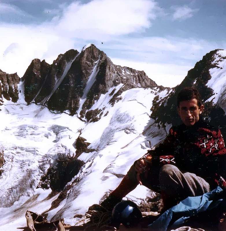
Rosa (2957m) & Balma (2936m) Passes, near Rosa of Banchi with Miserin Loch from Mount Glacier (3186m),
by emilius
![]()
^^^^^^^
From Valprato Soana-Corzonera Villages (1116m), by route, to Campiglia Soana Village (1350m); by dirt ground route and path---> n° 626 to Grange Randonero, Grange Ciavanis,San Besso and San Besso Refuge (Saint Besso Sanctuary; +; 2019m).
f1)- From San Besso, la Balma Alp, by path mixted and traces, to Rosa Pass (2957m). From pass in North-nothwest direction by before a slender trace (a pass immediately below in mobile rock slab; I°+, delicate)towards Miserin Lake (2578m) and Miserin Alp, Refuge and Sanctuary (2582m); from Miserin through path---> n° 7 to Grand Bese Alp and Dondena Refuge, Dondena Village. Also, by dirt road-path---> n° 7b, Alta Via n° 2, Alpine Route, to Dondena.
2)- From la Balma Alp (2152m) by crossing path to Grange Arietta (2288m); or more directly from Campiglia Soana by path to Azaria Tableland, Barmaion Alp to grange. From grange to Balma Pass (2936m); from pass by slim path to Gelé Lake ad a second little lake and Miserin.
SOANA-Campiglia/COGNE Valleys.
g1)- From Balma Pass, by Peradzà Point, Southeast easy Crest, to quota 2978m, Saddle 2946 m, and, by Bassa of Peradzà snowfields and moraines, Sogno du Berdzé/Peradzà Refuge (2526m) in COGNE-Urtier Valley; from refuge, by dirt farm road and path ---> Royal Route, n° 10, Alta Via n° 2, TVC (Tour of Cogne Valley) to Manda, Tsavanis (Waterfall), Cret (Alpine Troops Chapel, fountain), Gollies Dessus or Damon Alps (short cut-path near Gollies Desot or Dessous Alps to Lillaz) and Lillaz Tourist Village (1612m) in Cogne Valley. The best, more direct and speed passage between Soana-Campiglia/Peradzà-Sogno du Berdzé Refuge in Cogne-Urtier Valleys.
g2)- From Grange Arietta by Northwest direction and path and traces n° 624 VA to Arietta Pass (2947m) (very ancient passage for iron and other transport by Romans and, before, by Salasses, Aosta Valley Celtic People to and from Piedmont). From pass in descent to Cogne Valley by two possibilities:
1)- Higher (old) and Lower (better, more safe for rocks failing; steep snowfields in initial part) ---> n° 13b, VA and, by North-northwest direction between Gratton and Peradzà Cotes (Coastline) in Nouva little Valley, to 2480m~ crossroads (in East path-ramification---> n° 13, Alta Via n° 2, TVC to Sogno du Berdzé Refuge);
2)- from cross, near Nouva Torrent, to Broillot Alp (2399m) and by dirt road Lillaz Village.
g3)- From crossroads near Grange Barmaion (1651m) in Northwest direction by path ---> n° 620 and and small path from crossroads 2070m~, near Rancio Rio and below Grange Giardino of Rancio, and slim traces from quota 2400m~ to crossroads quota 2703m and in North direction by moraine and ten metres in rock (I°-)in terminal part to Miserino Pass (2842m); from pass in North by fragments rocks, moraine with small traces to Three Miserino(i) Lakes. Between II° (2665m) and III° lakes in Northeast path-ramification ---> n° 13c to Sogno du Berdzé Refuge. From lakes in North by path to crossroads 2425m~, near Nouva/Miserino Torrents and in West by path ---> 13a to Broillot Alp.
g4)- From crossroads 2703m in West, by slim trace, to Scaletta or Echellettes Pass (2849m); from pass in Northwest by slender trace to alternative 2608m of path n° 13d, near Eauxs Rousses Torrent in Eaux Rousses Walloon, From cross before in Northwest direction, after Northeast to Broillot Pasture.
g5)- From crossroads 2070m~, near Grange Giardino of Rancio (2152m) in West direction by path ---> n° 620 to Grange Rancio di Sopra, fork in quota 2740m and, by easy traces, frantumes and a little couloir in terminal part, Bocchetta del Rancio East Pass (2886m). From pass in Northwest direction by snowfields, frantumes and moraine (small traces) to Three Rancio Lakes, crossroads 2608m, near a pond, and, by path ---> 13d, Broillot Alp.
g6)- From cross roads 2740m by Southwest direction and, path ---> n° 620 and very very ancient traces (Salassian and Roman Route) in terminal part, Eaux Rousses Pass (2947m). From pass by North direction and a snowfield, typical old path and ---> n° 13d in Eaux Rousses Walloon to Broillot Pastures.
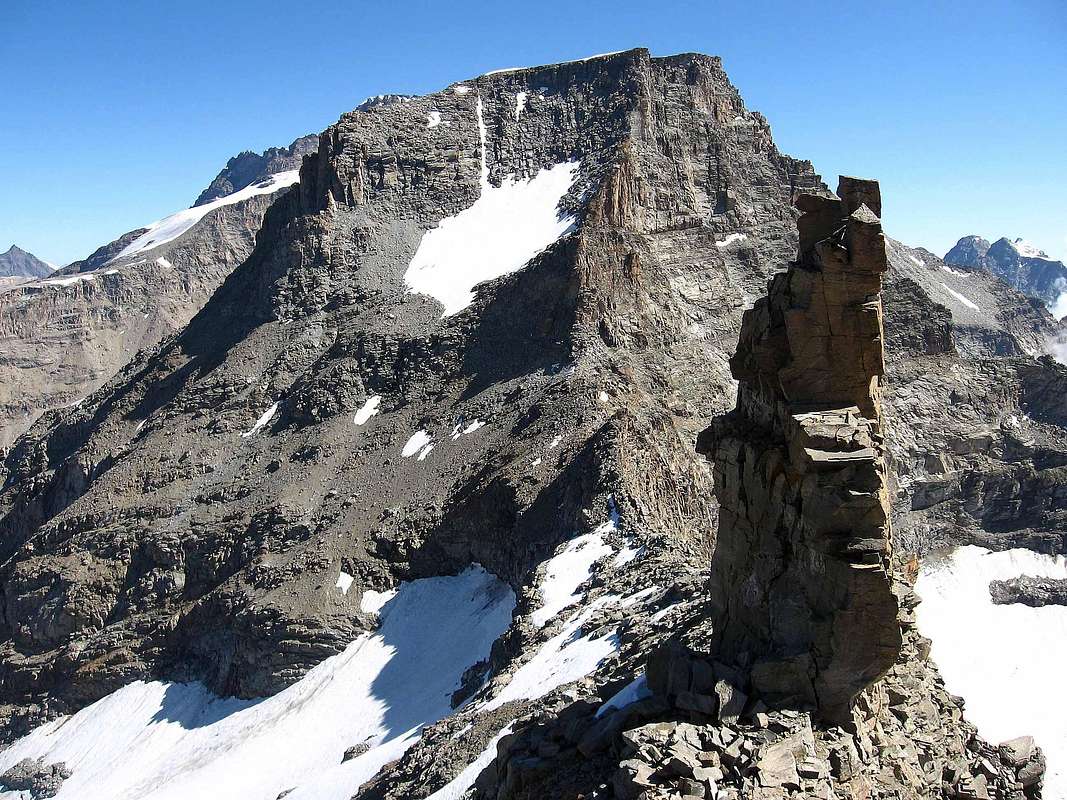
***
Scaletta, Bocchetta del Rancio, Acque Rosse Passes, before Lavina Tower (3308m) & Acque Rosse Points (right),
by marco87
![]()
^^^^^^^
SOANA-Forzo/COGNE Valleys and CANAVESE INSIDE AREAS from East to West.
From Bosco Village (900m), near Ronco Canavese, by regional route in Northwest to Quandin, Pessetto, Forzo, Tressi Villages:
h1)- from Tressi (1185m) by path---> 608 to Grange Giaverte, Cabanes Trasi, Grange Nasasse, Boscietto, Boschettiera, Grange Pian Lavina, Costa and Lavinetta Alps, Pier Mario Davito Bivouac (2293m) in Forzo-Lavina Valley. From bivouac by Northwest direction and path ---> n° 608 to Bardoney Pass (2833m). From pass (Just in West Murailles Rouges Pass 3187m to Valeille Walloon) by North direction and Lavinetta little Glacier (dangerous for rocks fallings), and by path---> n° 13g, along Bardoney Torrent, Bardoney Alp (2245m) and crossroads 2217m. From cross three possibilities: one)- to, before in North, after in East, by path---> n° 13, Alta Via n° 2, TVCto Casotto PNGP (2156m) in Teppe Longhe Area, Peradzà and Sogno du Berdzé Refuge; two)- in North from crossroads 2357m by path to Broillot Pasture; c)- in Northwest to, by path ---> n° 12, TVC Loye or Loee Lake, Torrent, Lillaz Tourist Village.
h2)- From Davito Refuge by West direction and traces in moraine to Forzo Pass (3169m); from pass by West-northwest direction Sengie Glacier, moraine, path---> n° 15b, 15 to alternative 2150m~ in Valeille Walloon, Valeille Alp (1902m, in right), Lillaz Village. Route for mountaineers experts or MExp.
*** For ascents h3, h4, h5, h6 of departure possibility from Gino Revelli-Viano Bivouac (2610m) in Pian delle Mule (Mule Tableland) by path---> n° 606 from Boschettiera Alp (1486m).
h3)- From Forzo Village (1178m) by West direction and path---> n° 604 to Boschietto, Boschiettera, Grange Pianasse, Grange Vellerei, Grange Fumà, crossroads 2292m (ex Forzo Refuge) above la Muanda of Forzo and in Nortwest to Muanda Walloon, Valletta mini Lake, crossroads 2400m~ towards Monveso Pass. From pass to Valeille Valley, with same preceding route and remarks. Mexp.
h4)- From Valletta Lake, crossroads 2400m ~ to Pian della Valletta Valley and by Northwest direction at base SE Slope in quota 2990/5m~ Roccia Azzurra Pass (3175m); by rocks before in left, after in right (I°/II°+) and a snowfield in terminal part to pass.
h4bis)- Direct Variant in right, by one pass IV° and two III+; 3 pitons in first ascent 1947 or 48. Descent by steep snowfields and little couloirs (160/170m diff. in level) to Sengie Glacier, with same route and considerations towards Valeille Walloon. MExp.
h5)- From Valletta Lake same route preceding to quota 2700/50m~; by moraine, Ancient Ciardones Glacier and large couloir (35°/40°) to Sengie Superior or Northern Pass (3328m); descent by West direction and a snowy couloir (30°/42°, uneven; difference in level 395/410 metres) to Valeille Glacier between quota 2800/2900m. To cross in West and by small ascent to Laura Malvezzi-Guido Antoldi Bivouac (2920m); also by North direction and path---> n° 15 to Valeille Valley. For MExp.
h6)- From same route to quota 2836m at base Sengie Ago (Sengie Needle) E-SE Crest; after in West, by moraine, Ciardonei Glacier in small Comba and a large couloir in lower and enough steep in final part (38°/42°; diff. in lev. 310/30m) to Sengie Inf. or Southern Pass (3262m). In descent, by gully more close in high and large in lower, to Valeille Glacier and same route. M Exp.
h7)- From Revelli-Viano Bivouac (2610m), by West-southwest direction and path---> n° 606, to Ciardonei Southern Glacier and in quota 2950m~, by West direction and moraine, to Eastern (better Northeastern) Valeille Pass (3191m); in descent, by W-NW gully, steep (38°/45°, even 50°; diff. in lev. 240/60m) and dangerous for rocks falls, to Valeille Glacier and same route. M Exp.
h8)- From bivouac by Southwest direction, glacier, path---> n° 606 and brokens rocks to Western Valeille Pass (better Southwest) (3201m); in descent by large couloir (38°/42°; dangerous for rocks fallens) to glacier in quota 3020/5m and, by Northwest direction to bivouac, also to path---> n° 15. MExp.
h9)- From preceding route to Ciardonei Glacier terminal part and by easy and snowy couloir in SE Slope. Or from Valsoera Valley, Pocchiola-Meneghello Refuge (2240m;), near Valsoera Lake and Alp. M Exp; LOOK OUT!: in descent the NW Face to Valeille Glacier impracticable for rock friable and steep. NEVER MADE.
ORCO or LOCANA / COGNE Valleys and ORCO INSIDE AREAS.
***
Difficult Passes from Coupé of Money to Roccia Viva (right or South), with Northwestern View,
by maria grazia s
![]()
^^^^^^^
From Pont Canavese, by route, to Sparone (537m) and Boiretto little Valley. INSIDE AREA: from Sparone, by route, deviation in North to Ribordone Village (1027m) and Talosio-Posio Villages (1225m, 1392m). Prascondù Sanctuary (1321m), near Schiaroglio Village (1360m) in North; Monte Colombo (2848m) little Mountain Chain in Northwest.
From Sparone/Locana/Rosone/Noasca great and little Villages, by regional route, towards Ceresole Reale.
From Rosone(691m), by route in Northwest to Rosone Vecchio, Bugi di Sotto, di Sopra, Buriat, Villanova, San Lorenzo, Valsoani, Ghiglieri, San Giacomo (1125m) Villages at the beginning of these valley.
INSIDE AREA: from San Lorenzo Village (1045m), by path ---> Gta (Alps Great Traverse) A. V. C. (Canavese High Route) to Praghetta Walloon, Pragetta Pass (2359m), Eugio Lake in Eugio Vallon.
INSIDE AREA: from San Lorenzo by previous route to crossroads 1178m (alps) and by slim path near Alpuggio Rio to Destrera Pass (2539m) and Destrera Mount (2596m) in Alpuggio Walloon.
INSIDE AREA: from San Giacomo Village (1125m), by North direction and path ---> n° 559, A. V. C., to Balma Alp, Balma Lake, Pison Pasture, Pocchiola-Meneghello Refuge (2440m), between Nero, Valsoera Lakes in Valsoera Walloon.
To Northeast: Moncimour (3167m), Gialin Point (3270m), by traces Motta Pass (3001m) (from refuge and Motta Lake (2656m) in Motta Combe); Ciardonei Great Uje (Aiguille) (3325m) and Ujes Pass (3224m, to Southern Ciardonei Glacier).
To Northwest: Valsoera Points (3206, 3234m), Ciardonei Little Uje (3228m), by path---> n° 559 Ciardonei Pass (3152m, to Ciardonei Glacier, near Southwestern Valeille Pass to Cogne Valley), Teleccio Point (3372m), Becco di Valsoera in Valsoera Valley.
From San Giacomo, by route along Piantonetto Torrent, Ronco, Casette, Sernior, Trucco Alps and Teleccio or Telessio Dam (1917m) in Piantonetto Walloon. From lake, by North direction and path---> n° 560 to (Valsoera Bocchetta (2683m) in East) Pontese Refuge (2193m) and, by North-northwest and path---> n° 558, to Muanda Alp, two little lakes, Telessio Muanda Alp (2217m) and Carpano Bivouac (2865m).
From bivouac to Saddle 3433m or Eastern Ondezana, Western Telessio or Ondezana, Money, Pazienza, Baretti Passes, among Ondezana Point (3487m), Great Saint Peter Tower (3691m; to North Apostoli Mountain Chain), Money Crest-Bell Tower, Testa (3573m), Becco della Pazienza (3599m), Gemini, Roccia Viva (3649m), Becca di Gay (3609m) MOUNTAIN CHAIN.
i1)- From bivouac by Northeast direction, moraine and rocks to Saddle 3433m; advised against that route; the descent in North to Valeille Glacier most dangerous for rocks falling and friable. NEVER MADE; for MExp.
i2)- From bivouac by North-northeast direction, traces in moraine to reach a glacial snowy cone and a couloir between two spurs; crossing in Teleccio Glacier and easily to Teleccio Pass (3312m); in descent to cross, by Northeast direction, the Western Valeille Glacier and *)-: by large tour in Eastern Glacier before, after by return in West direction to go up 100 metres~ to Antoldi-Malvezzi Refuge in shoulder 2920m of the East Ridge North Point of the Saint Andreas Tower (3643m). **)-: From pass directly by North-northeast direction and glacier to narrowing 2985/2900m~ and preceding same route. From bivouac, by path---> n° 15, towards Valeille Alp (near; 1902m) in Valeille Walloon and Lillaz Tourist Village (1617m), in Cogne Valley. For Mountaineers.
i3)- From bivouac, by North direction, moraines in Agnelère Tableland, debris slope and little snowy and easy couloirs, in terminal part, to Money Pass (3420m); in descent by sweet slopes in Money Glacier towards: a)-: by Northnorthwest direction to Coupé of Money Glacier (below West Faces Apostoli Mountain Chain; crevices doubling Paganini Crest) and, by trace in moraine and slim ascent in traverse, to Money Bivouac (2872m); from bivouac, by North-northwest direction and path---> n° 22E to Money Alp (near, 2334m) in crossroads 2340m and, by path ---> n° 22D, to Valnontey. Along Valnontey Torrent, Eurfelet Bridge, Valmiana or Vermiana Alps (1729m; +), and, by mule/horsetrack, to Valnontey Tourist Village (1666m) and Cogne (1534m) in Cogne Valley.
b)-: From pass by East-northwest direction in Money Glacier and trace in moraine to Alessandro Martinotti Bivouac (2588m; below Becco della Pazienza-Roccia Viva Gemini-Roccia Viva); from bivouac by path---> n° 22E to Valnontey and previous route.
c)-: From Money Glacier/Great Crou Glaciers to Borghi Bivouac (2686m; below Roccia Viva-Becca di Gay-Testa Gran Crou-Testa di Valnontey; Testa (Head); from bivouac by glacier in lower part, path---> n 22F to preceding routes. For Experts Hikers (EE) the South Side; for Mountaineers (A) the North. In three routes to be careful and to pay attention on the crevices.
i4)- From bivouac, by trace in Southwest direction, to cross Agnelère Tableland doubling in South and in Southwest Mount Nero SW Spur and, by moraines, to Roccia Viva Glacier (crevices in center) in quota 3120m~. Through North-northeast direction to cross at pass base in quota 3370m~ and, by South Face small snowy couloir and rocks (40°; I/II°; 150/60 metres diff: in level), to Pazienza Pass (3530m); descent to North, by steep rock and iceslopes (45°/60°; certainly "verglass" presence), NEVER MADE; for MExp..
i5)- From Roccia Viva Glacier, by Northwest direction, at base in quota 3330/5m~ of small cirque, between Roccia Viva-Becca di Gay; from cirque to choose between two snowy little couloirs and to turn in diagonal to the right (North). By gully or rocks in edge (35°/40°; I°/II°) to Baretti Pass (3427 m). In descent, by fairly large steep gully (45°/60°; terminal part by rocks in left or North, II°/II°+; more large crevice at base, with possibility to "lean" counter Roccia Viva SW Face rocks). From Great Crou Glacier two chances: 1)- directly to go down in glacier to Borghi Bivouac and previous route; 2)- to cross, by North-northwest direction, to snowy little saddle 3077m of the Roccia Viva W-NW great Ridge; after to double, by North direction and brief snowy slope (38°/40°), and to descend in Hanging Roccia Viva Glacier. To cross, by slight descent and North-northwest direction (30°/35°), to narrowing 2770/80m~ and, by trace in right side, to Martinotti Bivouac and preceding route to Valnontey. For M a lot Exp..
Passes & Carvings from Money Pass to Great Crou Pass, by livioz
![]()
ORCO-Noasca / COGNE / VALSAVARENCHE Valleys.
From Noasca to Noaschetta, Gias of the Losa, Goi, Ciamosseretto or Ciamousseretto, Roc Valleys:
From Noasca Village (Parking 1058m) by path to Case Sengie, Scialer, Lavassai Alps to Noaschetta Refuge (1520m), fork 1594m; or from regional route in quota 1077m by muletrack ---> n° 548 to Bettasse, Arcula, Casotto PNGP, Gorgi (2317m), Ruine Alps in little Noaschetta Walloon. From Walloon to la Bruna (2464m), Goi (2562m) between Losa/Goi Walloons (in right); by muletrack ---> n° 548, AVC to La Motta Alp (2647m), Ivrea Bivacco (2745m), at entrance of Gay, Noaschetta small Walloons.
l1)- From bivouac, by North-northeast direction and moraines, near Gay Lake (2960m), to Gay Glacier in quota 3090/3100m~; through small couloir of fragments rocks easily at Great Croux Pass (3305m), between Becca di Gay-Testa di Grand Croux. From pass in descent, by steep snowfields (40°/45°; very often in late season verglass), to Western ramification of Great Croux Glacier (séracs and noumerous crevices). To "aim" at base 2753m of Becca Gay Northwest Ridge; by North-northeast direction, ofGreat Croux Glaciers junction with Eastern ramification and moraine to Borghi Bivouac; from bivouac crossing, by trace in moraine and small path, towards Martinotti Bivouac. Also directly, by path ---> n° 22F, in Valeille and preceding routes to Valnontey and, by main road, Cogne Tourist little Town. Rarely popular;
l2)- from bivouac, by preceding route to quota 3140/50m~ and, by Northwest direction, terminal strips of Gay Glacier and final short couloir (30/35°) easily to little Saddle 3382m or Northern Noaschetta Pass, between Great Croux Testa-Valnontey Testa. Complex descent to Western Great Croux Glacier: before by in right (East; 40m~) against Great Croux Testa North Face; after through steeps snowfields, below the higher and hanging sérac in left (W; 40°/45°; dangerous for icefalls possible; only just one ascent in July 1939?) and rocks with verglass in terminal part up bergsrunde (1020m~; II°+). South Slope for M (EE/A); North Face for Mountaineers more Exp.
l3)- from bivouac, by previous route, to quota 3140/50m~ and, through West-northwest direction, crossing in Western ramification of Gay Glacier to quota 3350m~; by snowfields a slight difference and easily to Valnontey Pass (3382m), between Valnontey Testa-Tribulation Testa. From pass in descent, by steep snowfields (38°/40°; 270/80m~; bergsrunde large and often difficult), in Tribulation Glacier and crossing, among numerous tours (many large crevices), towards Gerard-Grappein/Carlo Pol Bivouacs (3183m), sited in great rocky promontory between terminal parts of Southern-Northern strips Tribulation Glacier. Go down, by traces, steep balconies and rocks (I°/I°; in snow presence delicate), to Bouquetins Barma (2698m; Steinbocks Balconies); to contnue, same direction, to Vanontey Head by moraines and small path towards Valnontey Torrent, near West side. In quota 2200m~ to reach the connection of paths ---> n° 22D, 22E, 22F (Money, Martinotti, Borghi Bivouacs); by path ---> n° 22 towards Eurfelets Bridge, Valmiana or Vermiana Alps, Valnontey-Cogne. Seldom busy;
l4)- From bivouac, by Northwest direction, moraine, along Noaschetta Torrent, to cross the Noaschetta Glacier at large terminal crevice in quota 3297m; climb, by a couloir (third from Southeast Face Ceresole Point) or through of two shores rocks before to left, after in right (40°; I°/II°/II°+), to Luna (Moon Pass) Pass (3533m), between Tribulation Head-Ceresole Point.
In descent See above 14bis.
l4bis)- Variant from Vittorio Emanuele II° Refuge (2734m) in Savarenche Valley, by Great Paradiso Pass (3335m; see more later on). From pass descend towards Noaschetta Glacier and, by East direction, to cross to quota 3165m~; changing direction in North-northeast to be reunited at preceding route. In descent, by gentle slope (25°/30°), to Eastern Tribulation Glacier and, through large tour before in East after in North; also directly in North (dangerous: hidden crevices), to Gerard-Grappein/Pol Bivouacs and same previous route by path to Valnontey and Cogne Tourist Town. For M Exp. Necessity: under of weather favourable conditions for non to lose one's bearings.
l5)- From bivouac, by West-northwest direction, moraine, Western Noaschetta Glacier in quota 3300m~ turn in North-northeast direction to Ceresole Point Southwest Face. At beginning of a large couloir, or by easy rocks in left, to reach the small Hanging Glacier in quota 3500m~ and, through Northwest direction, easy slope (30°/35°) to West-southwest Crest; by brief descent at Chamonin Pass (3688m). Absolutely to avoid the direct ascent (1874 and very rarely busy), by steep of pass South Face; difficult and rocks fall exposed.
l5bis)- Variation from Vittorio Emanuele II° Refuge in Valsavarenche, by Great Paradiso Pass, Northeast direction and same preceding route to Chamonin Pass, between Ceresole Point-Gastaldi Ridge.
In descent: by North direction, easy slope in snowfields (30°) to Central Tribulation Glacier; in quota 3580/90m~ to turn right (East-northeast, below Ceresole Point) and through a more steep stretch (100m~; 38°/42°; crevices) to link up with Luna Pass, in quota 3480m~ of Eastern Great Croux Glacier.
Routes for M Exp. and same observations.
l6)- From Ivrea Bivouac, by same route of Chamonin Pass to quota 3465/75m~ at base of South Face Abeille (Bee Pass) Pass (3873m).
16bis)- Variant from Vittorio Emanuele II° Refuge, through Great Paradiso Pass, Western Noaschetta Glacier, to base. Ascent two chanches:
16a)- from the base to climb, by alluvial cone, and to start in West in little snowy couloir, or by lateral rocks, to jutting in the shape of a small shoulder, near of higher séracs edge of Hanging Abeille Glacier. From this point cross right, by steep snowy wall (45°/50°; verglass possibilities), joing the pass.
16b)- From alluvial cone to to go up, by a great couloir in the shape of funnel, below the hanging sérac; in terminal part before to move in left, after to cross, above glacier, in right towards the pass. The second non good route, because too many rocks and ice falls exposed; first (1888, in descent) route, never again repeated.
In descent: by North direction, Soutwestern lower strip of Tribulation Glacier at base of North-northwest Ridge of Gastaldi Crest in quota 3625m~; then by long traverse in East between Central-Eastern Tribulation Glaciers and to joing with Chamonin-Luna Passes routes.
For M lot Exp. for South Face; MExp. for Northern traverse (generally to Great Paradiso Roc route); numerous, great and large crevices, with of place alterations from year to year; no ascents absolutely in bad weather! .
l7)- From 16a)/16b), previous routes by Southeast Wall of Great Paradiso Roc up to the of sérac top and great traverse of face through balconies in left (West; I°/II°/II°+; Bobba-Thérisod 1890 route) towards (Becca of Mon(t)corvé Pass (3851m), between The Roc-Becca of Moncorvé.
l7bis)- Direct Variations 1929 and 1949. From Noaschetta Glacier directly by Southeast Wall (400m~; II°/III°, one pass IV°?, for a group of rope climbers 1949), between Moncorvé Becca (3869m)/Roc (4026m).
From pass easily, by West direction to Great Paradiso Glacier, Summit normal route or towards Vittorio Emanuele II° Refuge. Routes for M a good Exp.; rarely repeated.
l8)- From Ivrea Bivouac and preceding routes to Noschetta Glacier and, through West direction and modest slopes, to Great Paradiso Pass (3335m), betwween Moncorvé Becca-The Tresenta. For M (EE/A).
l8bis)- From La Bruna Alp, by Northwest direction, Goi Alp (2562m) at beginning Goi Walloon; along Goi Torrent, by trace, Goi Lake (2726m), moraine among Noaschetta Sources, Glacier to same route.
In descent: by West direction, Moncorvé Glacier (numerous narrow crevices), moraine in quota 3075/100m~ and small path, up edge of right lateral moraine, to Moncorvé Lake, near V. Emanuele II° Refuge. From refuge, by path ---> n° 1 to Chanté Alp (2372m), Breuil Bridge up Savara Doire Stream, Pont little Tourist Village (1952m; Casotto PNGP; Hotels, Pont Breuil Camping; Valsavarenche Mountain Guides Information Cabine; excursions by horses; fountain in great Parking). From Pont in Valsavarenche, by main (regional) road to Gran Paradiso Camping (1814m) in Pesse Tableland, Eaux Rousse, Valsavarenche, Dégioz, Rovenaud, Molère, Chevrère, Introd Villages and Villeneuve Municipalities and, by State Road n° 26 to Aymavilles and Motorway A5 to Courmayeur-Mont Blanc, Aosta Town, Milan, Turin Cities. For M (EE/A).
Carlo Pol Bivouac (3183m) at Tribulation Glacier, on AUGUST 20th, 1967, by Gianni Junod
![]()
INSIDE & PERIMETRAL AREA: from Arcula(1904m) Alp, Casotto PNGP in Noaschetta Walloon and near Noaschetta Torrent, by Northwest direction and path ---> n° 548, to crossroads 2421m. From alternative by Southwest direction and path in North direction to Bocchetta del Ges Pass (2692m); from pass by West-southwest direction and path ---> AVC to fork 2439m in Ciamousseretto Walloon. From alternative 2421m by Southwest direction and path to Bocchetta dell'Alpetto Pass (2585m); from pass by West direction and path-traces to Casotto PNGP 2222m in Ciamousseretto Walloon.
From Goi Alp at beginnig of Goi Walloon. By traces, near Goi Torrent to Goi Lake (2711m), Noaschetta Glacier below Gran Paradiso, Abeille, Chamonin Passes.
INSIDE & PERIMETRAL AREA: from Noasca by route regional to Fragno di Sotto and by municipal route to Fragno di Sopra (1442m; Parking beforeof Village). From parking by West direction and path ---> n° 552 to Crestet (1535; crossroads; +) and, by Northwest direction, to Muracci di Sotto, di Sopra, ex Hounting House-Casotto PNGP (2222m), Gran Piano (2230m~,) Alps in Ciamousseretto Walloon.
m1)- From alp up and near Ciamousseretto Torrent, two little lakes, Ciamousseretto Lower Lake and by North-northwest direction and path to Ciamousseretto Upper Lake (2839m); from lake, by moraine in left (traces) to Terra Pass in quota 2980/3000m~. Turn right and, by Northwest direction and moraine, doubling in left (West) quota 3081m, below Ciarforon East Face (rocks falling danger), to change direction in right (Northwest) towards Ciamousseretto Glacier in quota 3129/30m~, below Mon(t)corvé Pass (3299m), between Tresenta-Ciarforon. From glacier cross the terminal crevice in right (North) of little jag 3347m at beginning Ciarforon Northeast Ridge; through broken rocks and debris traces in right diagonal to pass. From pass go down in Moncorvé Glacier and, by Northwest direction and half circular right route (to be careful: increase in crevices year after year), to previous l8bis route. For M Exp.; of route knowledge claim, good weather necessary.
INSIDE AREA: from Noasca-Pianchetti (1176m; Cubo and Pyramid) by Northwest direction and path to Fregai, Ertà, Borgo Vecchio (1534m; little bridge up Roc Torrent) Alps, Potes, Roc, Pianes, la Balma, Foges Alps, crossroads 2265m~ with paths ---> n° 542 (from Sià Pass and path ---> n° 650, AVC (from Casotto 2222m). From cross by Northwest direction and path ---> n° 542, AVC to Breuil Alp and Giraudo Bivouac, Broglio Glacier, Torre Pass (3186 m, inside Roc/Ciamousseretto Pass), Ciarforon Pass (3317m, between Ciarforon-Becca di Monciair), Monciair Pass (3298m, between Becca di Monciair-Denti del Broglio), Eastern Great Etret Pass (3152m, between Denti del Broglio-Testa of Great Etret and inside Porta Pass (3003m, to Lillet and Ceresole Lakes.
***
Ciarforon (3640m) and Pass (3317m) from Becca of Monciair (3554m); in distance Gran Paradiso (4061m) Mountain Chain,
by andrea.it
![]()
^^^^^^^
ORCO-Ceresole / VALSAVARENCHE and Ceresole / ISERE Valleys.
From Ceresole Reale (1620m) (La Peschiera and Villa Campings), near the Ceresole Lake (1573m): by North direction and path ---> n° 542, Gta, VA and by Sià Pass (2278m) to Loserai di Sotto, Breuillet Pastures, Giraudo Bivouac (2620m).
Also from regional route, after Ceresole Reale-Mua Village in altitude 1599m, by path ---> n° 540 AVC and North direction to Pisson, Miellet, del Medico (2486m) Alps, Lillet Lake; by East Direction to Porta Pass (3003m). From pass, by path ---> n° 550, AVC to Piatto Lake (2668m), Giraudo Bivouac (2620m). From bivouac and from North to Southwest:
n1)- from bivouac, by North-northeast direction, path and traces to Terra Pass in quota 3080/3100m~; turn left and, by West direction and moraine, to cross the Broglio Glacier at bergsrunde in quota 3120m~. Overcome a small snowy and rocky gully (40°/45°; I°/II°/II°+) to saddle 3333m, and by brief descent, to Ciarforon Pass (3317m).
In descent: from pass, by Northwest direction, steep snowyfields, a rocky band (I°+, but often in verglass) to Monciair Glacier in quota 3225m~; double, crossing below Southwest and Western Ciarforon Faces, the Northwest Ridge at quota 2940m~, above little Lake 2830m to West. By Moncorvé Glacier to moraine in quota 3000m~, Chanté Torrent and Emanuele two Refuges. For M Exp..
n2)- From Giraudo Bivouac, by Northwest direction, grassyland, moraine, junction of two Broglio Torrents, small snowfield in quota 2700m~ at base of East Couloir in quota 2765m~; through the gully dangerous and complex ascent (steep snowfield 40°/45°; various little waterfalls or verglass; great danger rocks fallings) to a drived rock; supere and to turn right (North) into a Southeast Wall of Becca Monciair. By a balconies series (ability of to seek the route) climb (II°/II°+/III°-) to quota 3280/5m~ and turn left (Southwest); through easy diagonal in left to Monciair Pass (3298m), between Broglio Northern Jag-Monciair Becca.
In descent: by Northwestern enclosed couloir, or right/left rocky shores, between Southwest Monciair Wall and Northwest Broglio Face (400m~; 40°/45° in terminal part, below the pass; rocks falls danger) to Broglio Glacier in quota 2900m~. Cross, by Northwest direction, at Monciair Northeast Ridge base in quota 2913m and, through small trace in edge of right lateral moraine, to descend in quota 2723m (ponds 2652, 2735m in South and in North. After "falling" amongst various small torrents, by steep moraine and grassyland (430m~ diference in level), to Seyvaz Walloon in quota 2300m~. By path ---> n° 2 and North direction, along West side of Savara Torrent, to Great Etret Alp (2178m), crossroads with path ---> n° 2A (to Great Collet Pass (2382m) in Southwest), Pont Breuil Camping. For M a good Exp. route; rocks fallings exposed; very rarely popular; good weather undoubtedly.
n2bis)- Also from altitude 2913m (Monciair Northeast Ridge base) by long traverse in North direction to Monciair, Moncorvé Glaciers, Chanté Torrent, Moncorvé Lake, V. Emanuele Refuges and preceding routes. Same observations; for M (EE/A) the simple crossing from Emanuele Refuges towards the Glaciers.
n3)- From bivouac, by Southwest direction and path ---> n° AVC to Piatto Lake (2668m); from lake, through path ---> n° 550, AVC to winding road in quota 2860m~; by North direction, steep moraine at base of Southeast Wall in quota 2950m~. Climb by rocky couloir, in the shape cone a snowy or debris slope, a short higher rocky couloir; to turn left (West) in diagonal ascent (balcony with plates; II°/II°+; delicate) and by rocks in small terminal couloir to Eastern Grand(t) Etret Pass (3152m). From pass through North-northwest direction, crossing Great Etret Glacier (35°/30°) in quota 2780m~, moraine, path and in quota 2413m path ---> n° 2 to Great Etret Pastures in Seyvaz Walloon, Pont Breuil Camping, Pont in Valsavarenche. For MExp the Southeast Wall; for M (EE/A) Northwest Slope.
n4)- From Lillet Lake (2765m; see above), by path ---> n° 540, AVC, East direction to quota 2840m~ and moraine to Western Great Etret Pass (3139m).
In descent: by North direction and previous route. For M (EE/A); narrow crevasses in the Etret Glacier.
n4bis)- Variation. From Pass Western or Eastern, by Northeast direction in quota route at base of glaciers: Great Etret, Breuil, Monciair, 2842, 2830m lakes, Moncorvé, Moncorvé Lake to two Vittorio Emanuele Refuges. Little Glacial Haute Route for M (EE/A).
From regional route in quota 1755m~ between Chiapili di Sotto (Muzio Refuge) and Chiapili di Sopra (1779m) Villages, by North-northeast direction and path ---> n° 539 "Sentiero Videsot", to Fumetta, Pianas, Comba (2553m) Alps. Or from regional route in quota 2150m~, near Madonna della Neve (+), by East direction and path ---> n° 538, "Sentiero Tempo" to Rosal, Ramus, Muanda, Comba Alps. Also, same departure, by North direction and path ---> n° 537, "Sentiero Chabod" and East-southeast direction to Bastalon Alp (2431m), Casotto PNGP, crossroads 2500m~ and path ---> n° 550 to Combetta, Comba (2553m), Terra Pass (2911m). In altitude 2624, near Percia Rio, and by Northwest direction and traces in moraine, along the small walloon, to Gias di Beu(2798m), 2904m, 2969m little Lakes, Ferauda Pass (3033m). From pass, by North direction and traces in moraine, to Seyvaz Lake (2938m). For Hikers-Trippers (E).
a)- from lake: in cross to West below Punta Violetta, Mentà Coastline, Nivolé Rocks to Chivasso Town, Savoia Refuges (2600 and 2610m) between Nivolé Two Lakes, and near Nivolé Pass (2597m), by main (regional) route.
b)- by Northwest direction and traces in moraine, direct descent, near Grande Ferande or Fer(r)auda Torrent, to crossroads 2418m, up Nivolé Doire Stream, Nivolé(t) Alp (2407m). With North-northeast direction and path ---> n° 3 to Grand Collet Alp (2409m), Roley Croix (2313m; +), Pont Valsavarenche (1952m; Hotels Gran Paradiso, Genzianella; Parking; Casotto PNGP and Valsavarenche Mountain Guides Information; Camping Pont Breuil; typical wooden fountain) in Valsavarenche Valley.
From Ceresole Reale, by main (regional) route, to Serrù and Agnel Lakes and Nivolé Pass to crossroads 2522m; from fork, by Northeast direction and path ---> n° 3 to Nivolé and preceding route towards Pont, Valsavarenche Valley and AOSTA VALLEY. For tourist and pirates in Piedmont; à vatzè (= for cows) in Aosta Valley.
From Serrù Lake, near Glacial Museum (2299m), by path ---> n° 534 "Sentiero internazionale", towards Pian della Ballotta Refuge (2440m), Ballotta Tableland, East Slopes Galisia (2987m) or Losa Pass (2971m); from two pass Grande Tete, Prariond Refuge (2324m)in Isère Valley (FRANCE). Also, by South direction, traces, Losa Glacier, Vacca Pass (2955m), Vache Glacier, Sous les Barmes, near Lose Ruisseau to refuge.
^^^/\^^^ MOUNTAIN CHAIN between ORCO-Ceresole Reale/ISEERE Valleys: Punta della Galisia (3346m), Grand Cocor, Cima della Vacca (3166m), Cima d'Oin (3278m), Grande Aiguille Rousse (3482m), Cima del Carro (3326m), Carro Pass (3122m) by path to Carrè Refuge (2759m), near Noir, Blanc Lakes in France (Vanoise National Park), Punta dell'Uja (3382m), Jervis Refuge (2250m) in Northeast Cima Percée, Western Levanna (3593m), Central Levanna(3619m; +), Little Levanna, Leonesi Refuge (2909m) in Northeast, Eastern Levanna (3595m).
Between ORCO-Ceresole-Noasca/Forno-Groscavallo Valleys: Cima della Piccola (2868m) and Pass (2698m; from Ceresole-Villa Poma by South direction and path ---> n° 521 and by ---> n° 318 to Forno Alpi Graie (1219m) Village), Barrouard, Corno Bianco (2883m), Mont Morion (2836 m), Crocetta Pass (2641m; From Villa Poma, by Southeast direction and path ---> n° 520, VA, AVC, GTA; in descent to Vercellina Lake, Groscavallo-Pialpetta (1087m) by path ---> n° 321, VA, GTA, Cima della Crocetta, Monte Bellagarda, Monte Unghiasse (2939m),Mont Bessun, M. Tovo piccolo, Cima Giardonera, Monte Tovo (2673m).
From AOSTA VALLEY to FRENCH
D)- Amongst AOSTA VALLEY (North) and ISERE VALLEY (South)
Rhemes Valley/Val d'Isère: from Villeneuve little Town to Thumel Village, by car, and towards Federico Benevolo Refuge, by path ---> n° 13 and from refuge:
1)- to Basagne Pass , by Basei or Nivoletta Pass path ---> n° 13b and Lavassey Glacier, in terminal part.
2)- By path ---> n° 13c to moraine and Fond Central Glacier to Fond Pass and Calabre East Glacier in France (Vanoise National Park).
3)- Or by path ---> n° 13d to Granta Parei, Tsanteleina Lakes, Glacier in South to Rhemes Pass and Calabre West Glacier in France.
4)- Also by Tsanteleina-Sauches Glaciers in Southwest by Bobba Pass to Quart Dessus Glacier in France.
5)- Also in West by Tsanteleina Pass to Tsanteleina Glacier in France (Grande Sassière Nature Wildlife Reserve).
AOSTA VALLEY INSIDE AREAS
E)- INSIDE RANGES:
Dora Baltea Stream Right Hydrographic Watershed:
From Tavagnasco/Quincinetto (PIEDMONT) - Pont Saint Martin little Towns (East) to Hone, by regional route, and to Pont Bozet Village and Champorcher Tourist Station, with various villages in Champorcher Valley.
From Hone/Issogne/Champdepraz/Montjovet/Pontey/Fénis/Saint Marcel/Brissogne/Pollein/Charvensod/Gressan/Jovencan/Aymavilles Municipalities (West), by regional roads with deviations to Chevrères-Veulla in Champdepraz, Fénis, Saint Marcel, Brissogne Valleys and Pila "Conca" above Aosta City.
From Aymavilles little Town, by regional route, to Cogne Tourist little Town (Southwest) in font Cogne Valley (Grauson/Lussert, Urtier, Bardoney, Valeille, Valnontey, Nomenon little Wallons).
From East to West "Appendages" of the: Valsavarenche, Val di Rhemes Valleys. GREAT SAN PIETRO & APOSTOLI Traverse and THREE VALEILLE/SCATIGLION/ONDEZANA POINTS, Integral Traverse, on JULY 22,th & AUGUST 19th, 1984.
F2)- *** AOSTA VALLEY DORA BALTEA STREAM HYDROGRAPHIC CATCHMENT BASIN ALL SUMMITS of RIGHT SIDE from Ivrea (PIEDMONT) to Champorcher/Cogne/Valsavarenche/Val di Rhemes and INSIDE AREAS: Champdepraz/Pontey or Ponton/Fénis/Saint Marcel /Brissogne or Les Laures/Pollein or Arpisson/Charvensod or Comboé-Arbolle/Gressan-Jovencan-Aymavilles or Pila Basin, Cogne or Arpisson-Grauson-Urtier Valleys
From Quincinetto-Canavese (PIEDMONT) to Pont Saint Martin/Hone/Pont Bozet/Champorcher/Cogne Communes and appendages of the Cogne/Valsavarenche/Val di Rhemes Valleys. AOSTA VALLEY SOUTHERN HALFCIRCULAR PERIMETER.
Amongst Aosta Valley and Piedmont
1)-: Bec Renon - Cima della Battaglia - Cima di Bonze - Bec delle Strie - Cima del Camoscio - Cima d'Andelmel - Mont Debat - Punta Dondogna - Cima Prel - Monte dei CORNI; Punte di Chenessy Soth, Central and North - Mont Giavin; Mont Mars - Punta Santanel; Punta di Voréa and Tower; Monte Nero - Pic Mulère - Bec Laris.
2)-: Bec Pragelas - Cime Beccher - Cima delle Fontane - Rosa dei BANCHI - Punta dell'Asgelas - Cima di Peradzà.
3)-: Cima di Peradzà - Tete dea Nouva - Tete de l'Arietta - Punte del Miserino e della Scaletta; Punta Nera del Miserino; Punta del Rancio - Torre di Lavina - Grande Arolla - Piccola Arolla; Punta di Forzo - Monveso di Forzo - Roccia Azzurra - Punta delle Sengie - three Punte di Valeille or Nort-northeast, Central and South-southwest - Punta Scatiglion - Gran SAN PIETRO; S. Andrea Southern and Northern - Torre di S. Orso -
PATRI' POINTS (Southern 3579m; Northern 3558m), NW icy Face, First Repetition and Traverse to SAINT OURS TOWER SUMMIT (3610m), on JULY 13th, 1969
Between Valeille and Valnontey Walloons
S. Andrea Southern and Northern - Torre di S. Orso - Punte Patrì Meridionale e Settentrionale - Punta Cissetta.
ROCCIA VIVA (3652m) West Face, New and Central Direct Route, on JULY 21th, 1968
Between Valnontey and Piedmont
4)-: Testa di Money - Becco della Pazienza - Gemelli di Roccia Viva - Roccia Viva - Becca di Gay - Testa di Grand Croux - Testa di Valnontey - Testa della Tribolazione - Il Roc del Gran Paradiso - Becca di Moncorvé; Punta Marco; La Tresenta - Ciarforon
GREAT PARADISE (4061m), ROC of the GREAT PARADISE (4026m) and MONTCORVE BECCA (3869m) South Faces from TRESENTA POINT (3609m), on AUGUST 19th, 1967 & MAY 18th, 1968
Becca di Monciair - Denti del Broglio - Testa del Grand Etret - Mare Percia.
Between Valsavarenche and Nivolé Tableland
Punta Fourà - Mont de la Seyvaz Meridionale e Settentrionale - Mont Giansana or Giantsanaz - Cima dell'Arolley also La Roley.
Between Cogne and Valavarenche Valleys
CIARFORON/BECCA of MONCIAIR Traverse, on JULY 16th, 1967 and to the Vittorio Emanuele I° Shelter (2734m), on AUGUST 19th, 1967 & MONCIAIR NORTH WALL on AUGUST 19th, 1967
GRAN PARADISO - Piccolo Paradiso Punta Meridionale, Punta Nord or Frassy, Punta Centrale or Farrar, Punta Settentrionale also Vaccarone - Becca di Montandayné - Pointe Budden; Grand Neyron - Pyramide du Grand Neyron - Tour du Grand Neyron - Pointe Money - Pointe Leiser; Herbetet - Pointes Meridional, Petites and Pointe Septentrional - Gran Sertz or Serra; Rayes de l'Herbetet; Punta di Leviona; Pointe Timorion; Pointe de l'Enfer - Cresta del Tuf - Punta del Tuf.
5)-: Lauson Crest - Punta or Becca di Vermiana; Tete de Crocheneuille; Tete Tsaplane - Mont Herban - Pointe de l'Ouille; Testa del Gavio. Punta Bianca, Punta Nera e Punta Rossa della Grivola - Pousset Little Horn - Punta del Pousset; Punta Tuckett - La GRIVOLA - Grivoletta - Punta Crevasse - Punta del Trajo - Pointe Lavincusse - Becca d'Eytava(ù) - Lavincusse Coastline; Gran Nomenon - Mont Favret - Punta Valletta - Becca Plana - Mont Poignon.
FOURQUIN of BIOULA Traverse, on JUNE 02th, 1967
Between Valsavarenche and Rhemes Valleys
6)-: Punta Galisia - Punta Bousson - Punta Basei - Cime di Nivoletta or Nivolettaz South and North - Petite Vaudala or Vaudalaz - Grand Vaudala - Punta del Rosset - Punta del Leynir Southern and Northern - Mont Taou Blanc also Tout Blanc - Pointe de l'Aouille or Aouillé - Cima di Entrelor - Testa di Entrelor - Pointe Fourà or Pertcha also Punta Percià Southwestern and Northeastern; Chandelly Crest - Costa Manteau. Cime de Gollien Southwest and Northeast - Monte Roletta or Rolettaz - Clocher de Djuan - Punta Bianca also Truc Blanc; Fourquin de Bioula Western Central and Eastern Summits. Tour de Notre Dame - Punta della Bioula - Punta del Ran - Pointe Chamoussière - Mont Paillasse - Mont Blanc.
PERCIA' SUMMITS and NORTH JAG on MAY 13th, 1973; GALISIA/BOUSSON Points, on JULY 13th, 1980
To Val d'Isère between Ceresole Reale and Isère Valleys (France)
7)-: - Cima Grand Cocor - Cima della Vacca - Cima d'Oin - Aiguille ROUSSE - Cima del Carro - Punta dell'Uja - Aiguille Percée - Western Levanna - Central Levanna - Levannetta - Eastern Levanna.
Connection between Rhemes Valley an Isère Valley (France)
8)-: Roc du Fond - Roc Basagne - Punta Calabre - Quart Dessus - La TSANTELEINA - Pic de Goletta - Granta Parei - Becca della Traversière.
TSANTELEINA Summit and Crossing to GOLETTA PEAK, TRAVERSIERE BECCA, on JUNY 20th, 1976; traverse TZABOC or LUETTA POINT - FELUMA POINT, on OCTOBER 02th, 1994.
Between Rhemes and Valgrisenche Valleys
9)-: Bassac Déré - Punta di Bassac Sud - Grande Traversière - Punta di Bassac Nord - Grande Rousse - Punta Rabuigne - Mont Forciaz - Becca di Tey - Becca di Pré d'Amont - Punta di Feluma - Punta di Luetta or di Tzaboc - Becca di Tos - Grand Revers - Becca del Merlo also du Chamin - Mont de l'Ane - Creu de Rònque.
***
![]()
Getting There
By car:- From Torino, Milano, etc: Motorway A5. Exit at Ivrea, Quincinetto, Pont Saint Martin, Verrès, Saint Vincent, Chatillon, Aosta Est, Aosta West/Aymavilles, Morgex.
- From Switzerland: through the Grand Saint Bernard Tunnel or the namesake pass.
- From France: through the Mont Blanc Tunnel or Petit Saint Bernard Pass. It is not necessary to take Motorway A5: you can drive on SS.26, in the direction of Aosta.
- Aeroporto Internazionale "Corrado Gex" Saint Christophe (Aosta)
F1)- *** ALL EXTERNAL PASSES, saddles, brèches, collars, "carvings" & ROUTES from PIEDMONT towards AOSTA VALLEY & to FRANCE
A)- BETWEEN AOSTA VALLEY-Southeastern Appendages (North) and PIEDMONT-Northern Appendages and Chiusella Valley (South): From Donnas/Pont Saint Martin/Quincinetto/Tavagnasco/Quassolo/Baio Dora/Lessolo/Fiorano Canavese, Banchette, Salerano Canavese, Samone little Towns in IVREA City Area, by regional (main roads) routes, to Quagliuzzo/Strambinello (374m; + S. Ilario)/Vistrorio (468-494m; + S. Bartolomeo, S. Rocco; Roman Bridge; near Lugnacco/Pecco) /Alice Superiore/Meugliano Lake/Meugliano/Vico Canavese (602-618m; + S. Rocco, S. Martino Vescovo;m near Brosso)/Novareglia/Drusacco/Traversella little Towns. Or to Vidracco/Issiglio/Rueglio (664m; + S. Filippo, S. Giacomo)/Trausella (656m; + S. Grato)/Traversella Villages or little Towns in Chiusella Valley. INSIDE and PERIMETRAL AREA: Bonze Valley from North (Hone/Donnas Town) to Southwest (Valchiusella/Succinto Villages) and from Southwest to East (Pont Saint Martin/Quincinetto little Towns). a)- From Donnas-S. Orso, bridge up Dora Baltea , by route, to Praz Proussaz, Sainte Marie Madeleina, Chanton, Saddle 1254m in Rio Fer Valley, Borettaz Torrent; from saddle to Frint, Lecchia, S. Maria, S. Rocco to Quincinetto. FER(T)/BONZE Valleys Mountain Chain: Tete Tome or Tita Toimà (1656m), Bec Saint Jean, Bec Cormoney, Cima Cocor(e), Pussuy or Pousseuill Pass (2110m; +; between Brenve/Fer(t) Valleys; Retempio Sanctuary/Mouillà Alp crossing by path---> n° 2, Alta Via 2, 4), Mont Pussuy or Pousseuil, Mombrignon or Mont Brignon, Mont Debat (2618m; +), Mont Vailet, Andelmel, Finestra Pass (2354, 2295m), Bec delle Stri(j)e, Cima di Bonze (2516m; +), Bonze Pass (2258m; between Bonze/Muande Sup-Gugliasco-Giassetto Alps), Cima Battaglia, Corno Battaglia, Bec Renon (2265m; +), Bric Vert (1047m; above Pont Saint Martin/Carema and Dora Baltea. INSIDE and PERIMETRAL AREA Scalaro-Renanchio Valley: from Northeast (Pont Saint Martin/Quincinetto) to Southwest (succinto) and from Southwest to Southeast (Quassolo/Baio Dora little Towns). b)- From Donnas-Bourg S. Orso by route to Donnes (or from Moulin Vieux 400m), by path ---> n° 4, Alta Via (High Route) n° 2; from Donnes (894m) to Montat Village, by path---> n° 3A, and in Southeast direction, by path---> n° 3, to Roussa, Mont Mayoux, Bonze 1859 m Pastures. By traces in moraine to Bonze Pass (2258m)and from pass, by moraine and path---> C3, to Gugliasco Alps and, by route, to Scalaro (1423m; + S. Quirico) between Scalaro, Battaglia Rios/Le Capanne/Probagnolo/S. Maria/Quincinetto (290-319m; + S. Salvatore, S. Marta). *** Connection path---> "Sentiero Garin" between Scalaro/Prabagnolo. Also from Le Capanne (1374m), by route, to Grange Prato del Goglio, Grange Pratonero, Feipian Pastures (1136-1173m); from Alp, by path---> n° B2 to S. Bernardo (394m; +) to Tavagnasco (265-272 m; + S. Caterina, S. Annunziata, S. Margherita, Cuore del Gesù; Roman Graves). SCALARO-RENANCHIO Mountain Chain: from Northeast to Southwest ad from Southwest to Southeast: Bric Vert, Bec Renon, Corno Battaglia, Cima Battaglia, Bonze Pass (in South path---> n° C3), Cima di Bonze, Bocchetta di Valbona Pass (2328; between


F2)- *** DORA BALTEA HYDR. CATCHMENT ALL SUMMITS of Right from Ivrea to Champorcher/Cogne/Valsavarenche/Rhemes & INSIDE AREAS
 |  |  |  |  |
 |  |  |  |  |  |
 |  |  |  |  |
 |  |  |  |  |  |  |
 |  |  |  |  |  |  |  |  |
 |  |  |  |  |  |  |  |
 |  |  |  |  |  |  |  |
 |  |  |  |  |  |  |
 |  |  |  |  |
More INSIDE AREAS in CENTRAL AOSTA VALLEY with CIRCULAR PERIMETER
These areas within the Valley of Aosta come out of that which is the dividing line between the Piedmont and the Aosta Valley. From The Top of Peradzà, in fact, the border ridge splits into two: one branch continues Eastward in the direction of the watershed Rosa of Banchi, the second, however, proceeds to the North. At Pontonnet Hill it splits in turn with a branch that is directed towards the East and the Group of Mont Glacier and a second which continues North to the Tersiva. In turn originate the Group of Mount Avic and those from Point of Tessonet, the Grand Avert East and Emilius and the chain of Roèses the opposite side. While not on the watershed, we have nevertheless taken into account in order to have a complete and unified this group of mountains, distant relatives, but still neighbors with the Gran Paradiso Group.
Quest'aree interne alla Valle di Aosta escon fuori da quella che risulta la linea di demarcazione tra il Piemonte e la Valle di Aosta. Dalla Cima di Peradzà, infatti, la cresta di confine si sdoppia: un ramo prosegue verso Est sullo spartiacque in direzione della Rosa dei Banchi; il secondo, invece, procede verso Settentrione. Al Colle di Pontonnet esso si sdoppia a sua volta con una ramificazione indirizzantesi verso Est ed il Gruppo del Mont Glacier ed una seconda che continua a Nord verso la Tersiva. A loro volta origineranno il Gruppo del Monte Avic e quelli, dalla Punta del Tessonet, del Grand Avert ad Est e dell'Emilius e della catena delle Roèses nel lato opposto. Pur non essendo sullo spartiacque, ciononostante li abbiamo presi in considerazione ond'avere una visione completa ed unitaria di questo gruppo di montagne, parenti lontani, ma pur sempre parenti, con il Gruppo del Gran Paradiso.
![]()
From Hone/Pont Bozet/Champorcher/Issogne/Champdepraz/Montjovet/Pontey/Chambave/Fénis/Saint Marcel/Brissogne/Pollein/Charvensod/Gressan/Jovencan/Aymavilles/Cogne Communes
10)-: Bec Costazza - Tour Ponton - Mont Mous(t)saillon or Moussaillon - Mont Delà - Mont GLACIER; Mont Raf(f)rey or Raffré - Bec de Viot - Bec d'Ause. Gran Rossa; Punta del Giasset - three Becs Raty or East, Central and West - Bec Barmasse - Mont Ros. Bocon Damon - Tete des Hommes - La Torretta - Cima Piana - Mont Grimon - La Pertze - Bec di Nona; Bec Gavin; Cima Perché - Pointe d'Arcomy - Bec di Nona - Tetes du Mont - Tete Colon - Mont Charvatton - Serra di Biel - Bec del Merlo.
11)-: Mont de l'Ouille - Mont Lyan; Testa del Filone; Mont Bec - Banchettes Crest - Mont Avi; Mont Barbeston - Mont Ruvic; Mont Giron - Cima Nera; Mont AVIC - Punta Raye Chevrère; Tetes de Plan Fret - Punta Charmontane - Bec Courbo - Bec Tolomont; Monte Iverta - Punta di Medzove - Mont Belplà; Bec l'Espic - L'Invers del Lago Gelato - Monte Orso.
12)-: Punta TERSIVA - Costa del Tessonet - Punta del Tessonet - Punta Gianni Vert - Punte di Laval Southern and Northern. Petit Avert - Grand Avert - Gran Cresta or Cresta del Diavolo - Punta Plan Rué or Pointe de la Rossa - Mont Corquet - Mont Roux; La Torrasse or Tourriasse - Mont Saint Julien; Pontonnet two Towers South and North; Serra Madou or Madù - Testa di Vallonet - Two Monts Penne Blanche Eastern and Western - Pointe Coupée - Testa di Money - Mont Creya - Mont Salet. Inside appendages: Testa Doreire - Pointe d'Ervillières - Puy de Verdetta.
13)- Tour de Salé or Salì - Becca di Salé - Petite Roise - two Punte Gianni Junod or Central Roise Northern and Southern - Grande Roise also Roèse or Tita Plana - Punta Ilario Antonio Garzotto - Punta di Leppe - Mont Vallonet; Mont Père Laurent - Pointes de Seneva - two Seneva Little Towers - Le Cordagne - Becca di Seneva - Mont Blantsette - Black Triangle - Monte EMILIUS - Punta dei Tre Cappuccini - three Punte Rossa or Eastern, Central and Western - Mont Valaisan - Punta Garin - Pointe Fleurie or Fiorito - two Punte di Lavà North and South - Torre di Arpisson - three Pointes Coupées or Northeastern, Central and Southwestern - Punta di Arpisson - Antesummit South - Tsaplana; Punta di Pian Bessey - Punta della Valletta - Mont Bellefaçe - Testa Nera - Costa di Chamolé - Punta di Replan - Signal Sismonda - Punta di Ponteilles - Punta Valletta - Punta del Dard. Piccolo Emilius - Mont Ròss de Comboé - Punte del Lago Gelato (seven elevations) - Trident de Comboé or Northeast, Central and Southwest Tops; Pointe du Tsavanis - Pointe de Tsa Setze - Pointe de Mon(m)pers - Piatta di Grevon - Punta del Couiss; Pointe Va(e)daille; Punta del Drink(c) - Pointe de la Pierre. Pointe de Lussert or Quota 3216m - Mont and Pointe des Laures; Teste di Prà di Ler e Vareri - Tour Grauson - Grauson Grand Gendarme, Indented Tower, Bifide Tower, Red Gendarme.
![]()
![]()
Eastern Graian Alps, among Campiglia Soana/Champorcher/Cogne/Fénis/Champdepraz/Issogne Valleys and . From Balma Pass Cima di Peradzà - Bec Costazza - Sogno du Berdzè or Peradzà Refuge in West - Ponton Tower - Ponton Lake in West and Noir, Blanc (Black and White Lakes) Lakes in East to Pontonnet and Fénis Passes and from Fénis Pass Mount or Moutsaillon or Moussaillon Tower Moussaillon Lake in Northeast - E. Borroz-Rotary Clavalité Refuge in North - Eastern Pontonnet Lakes in Southwest - Mont Delà - Mount GLACIER Area (*); ramification to Northwest: From Eyèle or Etsely Pass Mont Raf(f)rey or Rafray also Rafré little Area: Bec de Viot - Bec d'Ansey or d'Ause. Continuation of the ramification to East from Gran Rossa West and East Passes Gran Rossa (East and West Summits) Leità, Betassa ponds and Gran Lago (big lake of the Aosta Valley). Southern appendages from West: Punta del Gias(s)et or Quota 2504m - Giasset Lake in West - Becs Raty West, Central, East, Antesummit East) - Raty Lake in North - Bec Barmasse - Mont Ros. Tete des Hommes Cornuto Lake in North Vernouille Lake in South - La Torretta Nero, Bianco, Vallette Lakes in North- Barbustel Refuge in North Lago Bianco and Croix Pass and from pass to Cima Piana-Cima Perché Muffé Lake in West - Arcomy Point - Bec di Nona or Mont Dandasse - Tete du Mont - Testa Colon - Mont Charvatton - Punta Grand Tsastè also Punta Castello - Serra di Biel. From Cima Piana to East-northeast: Bec Gavin - Bec del Merlo; to North: Mont Grimon - Mont La Pertze Pana Lake in East - Leser Lakes in West - Bec di Nona.
![]()
![]()
South-eastern Graian Alps and between Piamprato/Campiglia Soana/Champorcher Valleys: From Laris Pass Bec Pragelas - Bec Pendente - Cima del Rospo - Cime Beccher (various elevations) - Cima delle Fontane (ski-mountaineering) - ROSA dei BANCHI Area: from Rosa Pass Punta dell'Asgelas - Corona Point to Balma Pass and Cima di Peradzà. Dondena Refuge in Dondena Villages - Mont Dondena - Mont Ràscias (various elevations) - Miserin Lake, Refuge and Sanctuary in West.
![]()
![]()
Piedmont Canavese and Lower Aosta Valley between Chiusella/Piamprato/Pont-Bozet/Champorcher Valleys: Bric Vert - Renon Coastline - Bec Renon or Ranun - Corno (Battle Horn) della Battaglia - Cima della Battaglia - Cima di Bonze - Bec delle Strie or Strije; Cime dei Camosci - M. Bo; Pontalon del Camoscio - Cima d'Andelmel - Mont Debat Area: Monbrignon - M. Pussuy - Cima Cocor - Bec Cormoney - Bec Saint Jean - T. Tomè; Bec Chates; P. Vallera - Punta Dondogna - Cima Prel - I Tre Denti - M. Arbueil - Monte dei Corni Area (*): to Corni Pass. From Fricolla Pass Punta della Fricolla - Cornuto Lake in East - Chénessy Ridge - Chénessy Lake in East - Punta di Chénessy - M. Giavin - M. Digny - Lutta and Grignassire Crests. From Brouillet Pass M. Blanchet - M. della Corda - P. Lavère - Grand Bec - Bec Chaty.
![]()
From Corni or Orti Passes Mont Mars Area: M. Facciabella - Lago Morto (Dead Lake) in South - Mount or Point Santanel - Chiletto or Chelett Lake in East and Santanel Lakes in South - Vercoche, Chelett Points - Punta di Voréa; Punta Perosa; Ridge and Voréa Tower. Monte Nero Area - Little Lake in Southwest: Bec Mollère or Pic Mulère - Vercoche Lake in East - Bec Laris - P. Champ Chévry - Bec Monpey - Bec Colinas.
![]()
![]()
Dora Baltea Stream Right Hydrographic Basin and Central Valley and among Fénis/Saint Marcel/Cogne Valleys: TERSIVA Point Area (Virgin Mary great statue in the Summit). From Summit ramification to Northwest: Costa Tessonet - Tessonet Point - Punta Gianni Vert - Punta di Laval (South and North) Corona Lake in West to Saint Marcel also Corona's Pass. To North ramification: from Lavodilec Pass Little Avert - Lavodilec Lake in East - Great Avert little Area: (+) and Turati's Private Reserve, in Saint Marcel slope and Private Hunting Home in Grande Chaux Alp: Great Crest Layet Lake in West - Plan Rué Point or Tita de la Rossa (Virgin Mary mini statue in little niche of the Summit) - Mont Corquet (+; famous Sanctuary in Plout Village; ski-mountaineering)- M. Roux (coppermines in Servette Seam) - La Torasse - Saint Julien - (Anchorite Sanctuary). From Summit: Pontonnet little Towers (North and South) - Western Pontonnet three Lakes in South to Pontonnet Pass. From Serra Madou Pass or Saddle 3198m to West-southwest: Serra Madù or Madou to Invergneux or des Hevergnes Pass and from pass Testa di Vallonet Doreire Upper, Lower and numerous little Lakes in North- Penne Blanche (East and West or Quota 3205m) Area: Pointes Coupées Tzte, Court Lakes in North - Testa di Money Money Lake in North - Mont Creya (+; renowned loadstonemines in Larsinaz, Pino Coastline and Colonna veins) - Mont Salé or Monsalet, above CogneTourist little Town. Inside in Ervillières/Doreire Valley from East to West: Testa Doreire - Pointe d'Ervillières or Quota 2789/90m - Poggio Verdetta or Puy (Verdetta Hillock) de Verdetta.
![]()
![]()
Dora Baltea Stream (Central Valley from Champdepraz/Montjovet/Pontey/Chambave (Septumian) to Fénis little Towns) Right Hydrographical Area: Mont de l'Ouille - Mont Lyan or Lyau; Testa del Filone (X coppermines in South); miniramification to North: Mont Bec - Banchettes Crest - Mont Avi. Great ramification to Southwest: Mont Barbeston (Virgin Black Mary statue; X ironmines in Southwest) to Valmeriana Pass and from pass Mont Ruvic "Fourchettes" Crest - Mont Rouvic or Revì also Revic. Little ramifications to North-northeast: Mont Giron -Cima Nera; to North-northwest: Ponton Crest. From Varotta Pass to North ramification: Mount AVIC or Au Area also Avì (*; Virgin Mary little statue) and Regional PARK: Pointe de la Raye Chevrère to Rayes Chevrères Pass and from pass to North-northwest: Tetes de Plan Fret - Mont or Punta Chermontane - Bec Courbo - Bec Tolomont. Gelé Loch (Frozen Lake). From Rayes Chevrères Pass ramification to South: Iverta or Chevrères Lake - Monte Iverta Area: (X ironmines) - Gelato Lake in Northeast - Punta di Mezove or Medzove - Margheron or Medzove Lake in Southwest; Mont Belplà - Betassa Lakes in South to Medzove Pass. Eastern ramifications from north: Bec L'Espic La Serva Lake in East - L'Invers del Lago Gelato - des Heures Lakes - Monte Orso.
![]()
![]()
Dora Baltea Stream Central Valley from Saint Marcel/Aymavilles/Gimillan (Cogne) little Towns MOUNT EMILIUS Area (*; Virgin little statue; +): Mont Père Laurent - Seneva Little Points and Little Towers - Becca di Seneva or Le Cordagne - Testa Blantsette to Blantsette Pass. From Summit two ramifications to Southwest and to Northwest: Piccolo or Petit (Little) Emilius - Mont Ròss de Comboé - Punte del Lago Gelato (six little elevations) - Two "Boulders" little lake, Gelato Lake (Frozen Lake) in East - Trident de Comboé - Lago delle Capre or de l'Echo Lake (Goats Lake) in East. From Carrel Hill - Federigo Zullo Bivouac and New Peckoz Hut (ex Barons Peckoz Hunting House) and Peckoz Pond - Becca di Nona (Virgin great statue) - La Dent or Quota 2786m. From Combatissière Forest an Dard Valley to South: Dard, Valletta, Ponteilles, (Saint Grat Hermitage in West) Replan Points - Costa di Chamolé - Arbolle or Arbole Refuge - Testa Nera also Aouille Neira - Chamolés Lake in North - M. Bellefaçe(a) - Punta della Valletta - Plan de Eyve (Water Tableland) little lakes - P. di Pian Bessey to Garin Pass. From Summit to Southwest: Quota 3207m or Valletta Shoulder to Tsa Sètze Pass or Tsa Sèche Hill - small Saddle 2777m -Pointe du Tsavanis or Quota 2816m; from Tsa Sètze or Chasèche Pass wide ramification to Northwest: Tsa Sètze, Mon(m)pers Points - Piatta di Grevon - Couiss (Blizzard Point) Point or Quota 2660/1m and Simone Faccarello Arno Hut/Bivouac in the Summit - Pointe du Drink or Drinc; Pointe Va(e)daille in West; Leyssé Lake in Northeast - Pointe de la Pierre. From Dora Baltea Stream, near Grand Pollein/Grand Brissogne Municipalities: Salé Tower and Becca Private Ernesto Ménabreaz Refuge, one room free and available for the public - Roise also Roèses Subgroup (Roizà in Aosta Valley language = glacier) (Petite, P. Gianni Junod or Central Roise, Grande or Tita Plana) Laures Dessous or Lower, Long Lakes, Turati's Private Reserve in St. Marcel slope (Ex Peckoz's Reserve) and Private Hunting Houses in Mulac Hunting Home and in Grande Chaux Alps - Punta Ilario Antonio Garzotto - Punta di Leppe (East, Central, Western Summits) (ski-mountaineering) - Mont Vallonet to Saint Marcel also Corona's Pass. From Lussert Pass to Lussert Point or Quota 3216m - Mont des Laures - Laures Point - Reds Points (West, Central, East) - Laures Dessus or Higher also "Dzacquin", Ghiacciato Lakes in East and Northeast, Cappello Lake in North - Mount Valaisan - Franco Nebbia Bivouac, near Garin Lake - Garin Peak Area: SOUTHWEST Garin Buttress or Spur - from north:: Pointe Fleurie or Fiorito - Lavà Points - Arpisson Tower - Pointes Coupées (three or Southwest, Central and Northeast) d'Arpisson - Punta Arpisson - Antesummit South or Quota 2978m (cairn) - Testa Tsaplana or Tsaplanne (Virgin statue in Summit)). Inside Grauson/Lussert Walloons from East to West: Testa Vareri - Testa di Prà di Ler - little Lakes, Lago delle Rane (Frogs Lake), Corona Lake in East - Grauson Tower also Mont Groson - Grauson Great Gendarme - Indented Tower - Bifide Tower - Red Gendarme (Quote various) to Grauson Western Pass, Garin Peak.
![]()
![]()
From Peradzà large Saddle 2943/6m and Peradzà Point Sogno du Berdzé Refuge in North. Great ramification to Southwest: Rocce Nere of Peradzà (Peradzà Black Rocks) or Quote 2987 and 2991m - Tete de la Nouva - Testa dell'Arietta Arietta little Loch in Northwest - Punta del Miserino - Punta della Scaletta; Punta Nera Miserino Lake and other ponds in East; Punta del Rancio Eaux Rousses three little Lakes in West to Bocchetta (Pass) of Rancio and Acque Rosse or Eaux Rousses Pass (Red Waters Pass) and from Acque Rosse Pass little ramification to North: Eaux Rousses Points (Quote 3127, 3016, 3009, 2966, 2947, 2948m) and great ramification to Southwest: Lavina Antesummit North - Lavina Tower Area. Lavinetta Pier Mario Davito Bivouac in South - Tourelle - Grande Arolla. Little ramification to North: Petite Arolla to Little and Great Arolla Pass - Casotto PNGP in West - Pointe de Tsésère or Pointe de Chésère. Little ramifications to Northeast: Punta del Rossin - Punta di Bardoney - Tete des Gollies - Casotto PNGP in Northeast; to North-northwest: Punta delle Loye - Loie Lake. From Murailles Rouges Pass (Reds Walls Pass) great ramification to Southwest: Forzo Point and Tower - Monveso of Forzo - Roccia Azzurra to Roccia Azzurra Pass also Col du Rocher d'Azur (3177m).
![]()
![]()
From Roccia Azzurra Pass (3177m) - Sengie Point and "Needle" - Valeille (Northeast, Central, Southwest Summits) - Scatiglion Point - Ondezana Point to Teleccio and Ondezana Passes: APOSTOLI Group (GREAT SAINT PETER (*) - Saint Andreas - Antoldi-Malvezzi Bivouac in East - Saint Ours Tower) - Doigt du Coupé de Money - Punte Patrì (South and North Summits) - Money Bivouac in West - Pointe Tsissetta or Punta Cissetta - Pointes de Valletta (South and North Summits) - Punta di Vermiana also Valmiana - Vermiana little Lake in West- Punta di Fenilia (+) - Pointe Vigeusa - Testa di Montseuc - Montseuc (+) to Cogne Tourist little Town.
![]()
From Money Pass great ramification to West: T. de Money - Becco della Pazienza - Gemelli di Roccia Viva - Roccia Viva - Minilake (in disappearence) in the Summit - Alessandro Martinotti and Stefano Borghi Bivouacs in West - Becca di Gay - Tete de Grand Croux - Tete de Valnontey - Carlo Pol and Gerard-Grappein Bivouacs in North - Testa della Tribolazione - Punta di Ceresole or Pointe de la Lune (Moon Point) - Cresta Gastaldi to Colle dell'Ape or Col de l'Abeille (Bee Pass) and The Roc of the Gran Paradiso. Ramifications to West-southwest: Becca di Moncorvé - Punta Marco Pocchiola - Vittorio Emanuele II° Refuges (Old and New) in East - Testa di Moncorvé. From Gran Paradiso Pass to South-southwest great ramification: La Tresenta - Mont Ciarforon Area: Becca di Monciair
-Denti del Broglio - Tete du Grand Etret to Great Etret Western Pass and from pass ramification to North: Mare Percia - Punta Fourà - Cime di Seiva (Southern and Northern) - Monte Giansana - Cima della Roley or Pointe dell'Arollay. From Punta Fourà little ramification to West: Rocce del Nivolé - Mentà Coastline - Punta Violetta or Nivolé Point to Nivolé Pass. GRAN PARADISO AREA (*; Virgin Mary little statue)NATIONAL PARK; great ramification to North: Piccolo Paradiso (Southern Point or Frassy Point, Central Point or Farrar, Northern also Vaccarone Point) - Becca di Montandayné - Pointe Budden - Federico Chabod Refuge in West to Bonney Pass. Little ramification to Northwest From Great Neyron Eastern Pass Sebastiano and Renzo Sberna Bivouac to Western Pass and Passage du Grand Neyron: Pyramide du Grand Neyron - Great Neyron Tower - Money Point - Leiser Point. From Bonney Pass ramification to North-East-North L'Herbetet little Area: Herbetet little Towers and Lionello and Lucio Leonessa Bivouac and Casotto PNGP in East; Herbetet Points (Southern and Northern) - Gran Sertz or Gran Serra(e); Rayes de l'Herbetet; Punta di Leviona; Pointe du Timorion - Casotto in West; Pointe de l'Enfer - Costa and Punta del Tuf - Casotto PNGP in West to Lauson also Loson Pass.
![]()
![]()
From Lauson or Loson Pass Punta or Becca Vermiana - Punta Bianca - Punta Nera - Punta Rossa della Grivola - Damiano Gratton Bivouac in Pousset Pass - Pousset Little Horn or Quota 3056m - Punta del Pousset - Casotto P.N.G.P. in North-northwest. From Rossa Pass to East-northeast: Testa del Gavio - Gavio little Lake in Northwest; Little ramification to Northeast from Rossa Pass: Lauson or Loson Crest (Quote 3204, 3042, 3020, 3047, 3013m) Vittorio Sella Refuge - Testa Tsaplane - Monte Herban - Pointe de l'Ouille; from Vermiana Pass in East: Quota 2942m - Tete de Crocheneuille. Great ramification to Northeast: from Grivola Pass Pointe Tuckett - La Grivola (*; +) Area: Balzola Bivouac in Clochettes Little Bells Crest) Crest and Pass - Mont Grivoletta - Punta Crevasse - Gontier Bivouac, Casotto PNGP in Northwest - Punta del Trajo or Tradzo also Traso - Pointe Lavincusse - Becca d'Eytava or Dentavù - Lavincusse Coastline. Great ramification to North-northwest: from Belleface Pass Casotto P.N.G.P. in West-southwest - Grand Nomenon - Mont Favret - Punta Valletta - Casotto PNGP in West-southwest - Becca Plana - Casotto PNGP in North-northwest - Mont Poignon above Villeneuve little Town.
![]()
![]()
From Nivolé PassNivolé Lakes) to West towards Basei Pass/Nivoletta Pass and from this last pass to North: Cime di Nivoletta (South Point, in West Pointe de Nivoletta, North Point) - Grand Vaudala (South or Petite Vaudala and North Summits). Ramification to North-northwest:South and North Summits) - Pointe de Lavassey. From Great Vaudala Pass Punta del Rosset; Mont Cornet in Northwest. Leytà, Rosset, Trebecchi, Chavaney and other little lakes in Rosset Tableland in East. Pointe du Leynir (Ley = Loch; nir = black) Lago Nero in West - Mont Taou Blanc or Tout Blanc - Pointe de l'Aouille or Aouillé - Cima d'Entrelor. Little ramification to Northwest: Becca Tsambeina - Testa d'Entrelor or Antesummit North quota 3397m. Ramification to East-northeast: Aouillé Crest (Quote 3189, 3160, 3101, 2998, 3019, 2718m). Pointe Fourà or Percià also Pertcha (Fourà also Percià or Pertcha = pierced, perforated) South Summit - Cime Percià North Summit. Ramifications to East: Mantò or Manteau Coastline; to Northeast: Chantelly Crest - Mont Chantelly. Cimes de Gollien (Southwest, Central and Northeast Summits) - Noir, Damon, Djouan Lakes in East - Mont Roletta Roletta Crest (Quote various) - Clocher (Bell-Tower) de Djuan - Truc Blanc or Punta Bianca to Lorguibet Pass and from pass East ramification: Fourquin de Bioula (West, Central, East Summits). From Lorguibet Pass to North: Tour de Notre Dame also Notre Dame Tower - Punta Bioula Area (Bioula = Silver Birch): Punta del Ran - Pointe Chamoussière - Mont Paillasse - Mont Blanc (P.N.G.P. "Casotto" or Cabin). From Basei Pass ramification to South: Punta Basei Area; to East Rocca Bianca. Punta Bousson - Agnel and Serrù Lakes in East - Punta Galisia Area: to Galisia Pass Cima Gran Cocor - Cima della Vacca - Cima d'Oin - Aiguille Rousse Area: Pointe de la Roche Noire.
![]()
![]()
From Basagne West Pass to West: Roc Basagne - Fond Lakes in North - Roc du Fond - Punta Calabre (ski-mountaineering) - Quart Dessus (South, Central, North Summits) - La Tsanteleina little Area: Pic de Golette - Granta Parei - Tsantèleina and Granta Parei Lakes in East - Truc de Tsantèleina between two lakes - Federico Benevolo Refuge in North. From Golette Pass to East: Becca della Traversière. From Bassac Déré Pass to North: Pointe Bassac Déré - Goletta(e) Lake - Pointe Bassac South - Grande Traversière - Pointe Bassac North - Truc Blanc Lake in East - Truc Blanc - St-Martin Lake in West - Saint Martin Point - Cime de Fos - Barmaverain Point - Tina Point; Becca di Fos;
![]()
GRANDE ROUSSE Area (South and North): Punta Rabuigne (ski-mountaineering) - Mont Fortciaz or Forciaz Eastern and Western Summits) L'Epée Refuge (Sword Refuge) - Cime de Bouque or Cima del Bouc - Becca di Tey - Punta or Becca Laugier - Becca di Pré or Praz Damon or d'Amont - Punta Feluma also Feleumaz - Punta Luetta or Louetta also Tzaboc Point - Becca di Tos South Summit or Quota 3275m - Becca di Tos (ski-mountaineering). Ramifications to North-northeast: Grand Revers - Becca del Merlo also Becca de Chamin - Mont de l'Ane - Crou de Bouque (+); to West Becca Verconey.
![]()
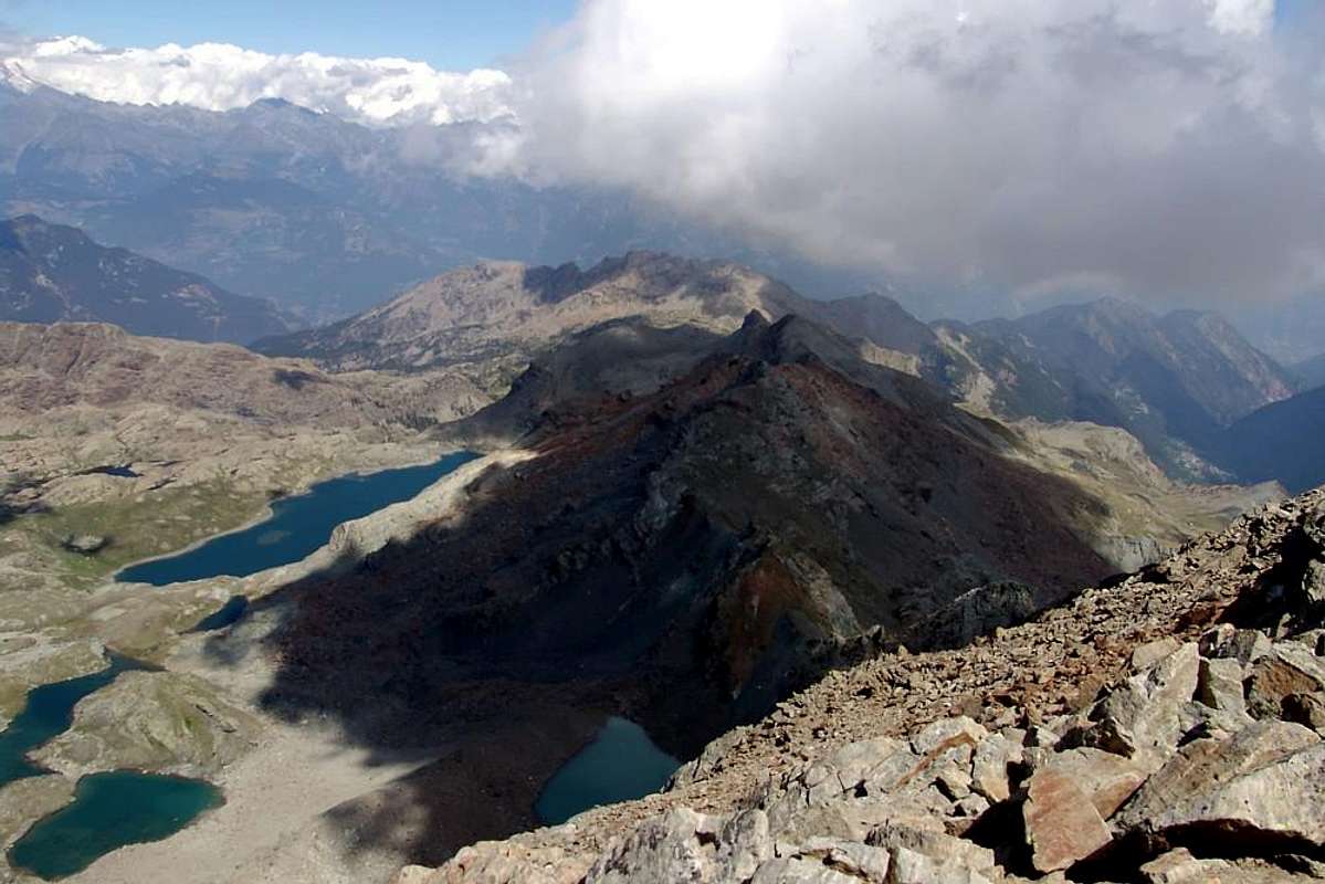

PONTON TOWER - GRAN PARADISO NAT. PARK / MOUNT RAFFREY / MONT GLACIER / CIMA PIANA - M. AVIC REGIONAL PARK AREA
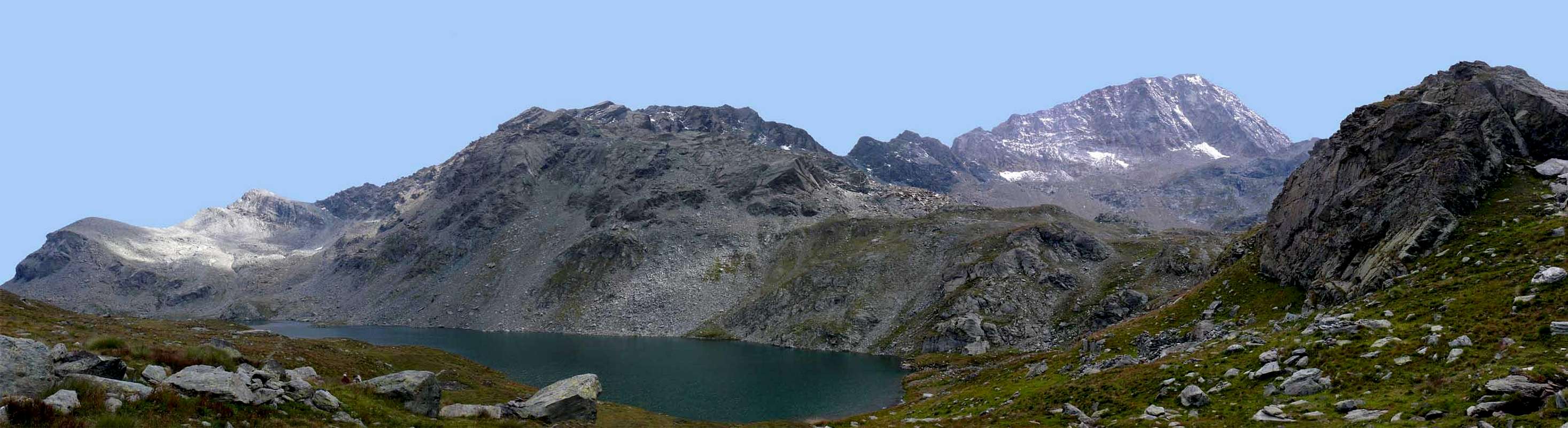
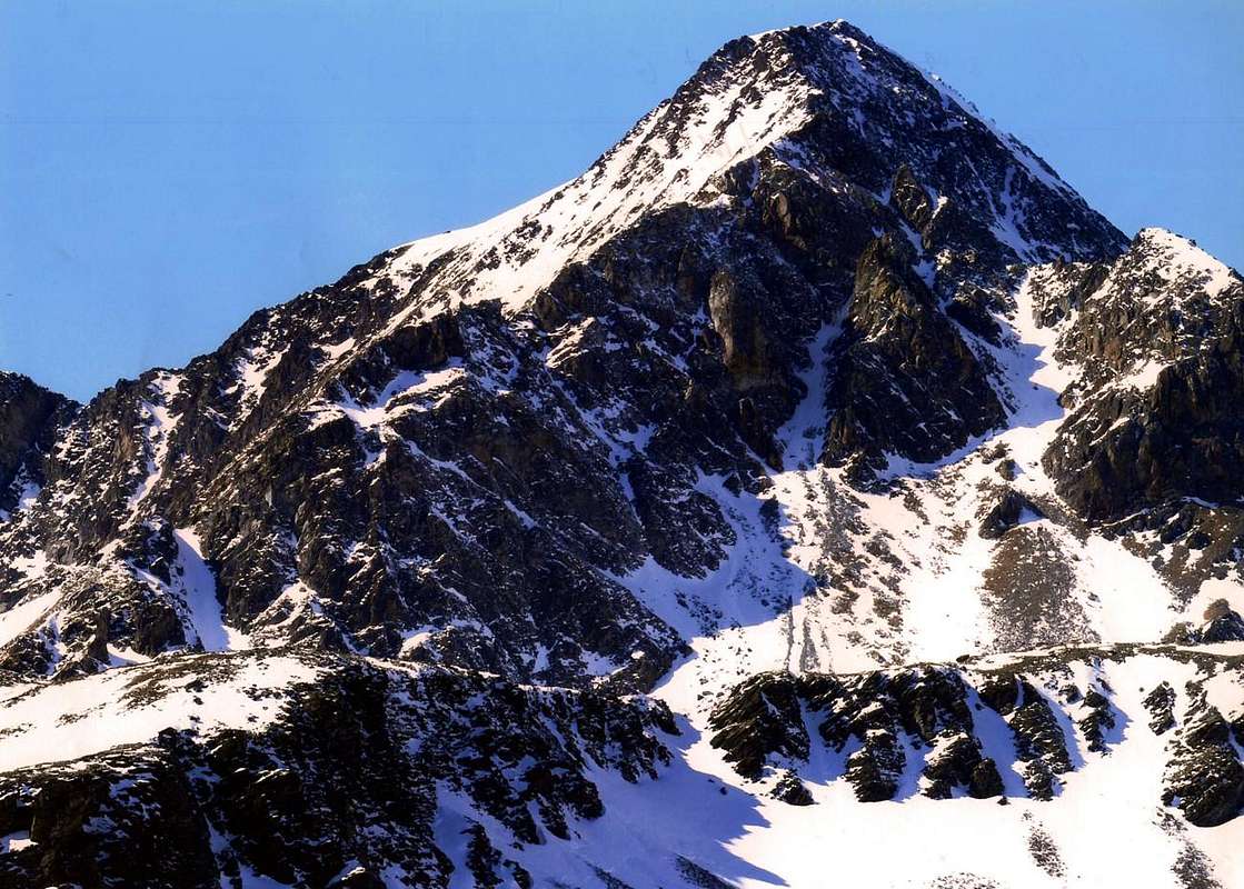
CIME BECCHER / ROSA dei BANCHI AREA

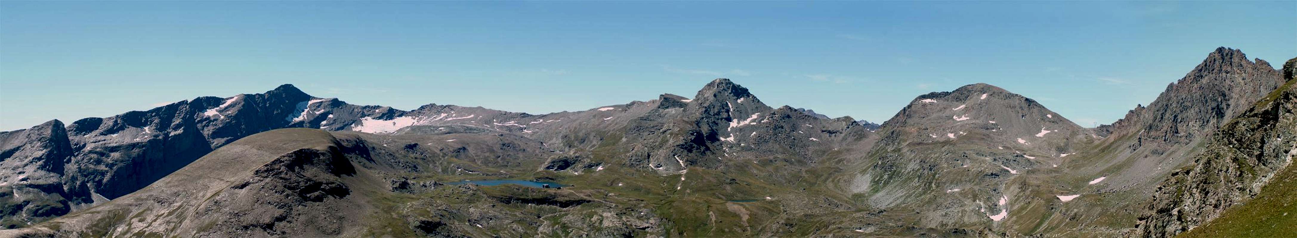
MONT DEBAT / MONTE dei CORNI / MONT MARS / MONTE NERO AREA

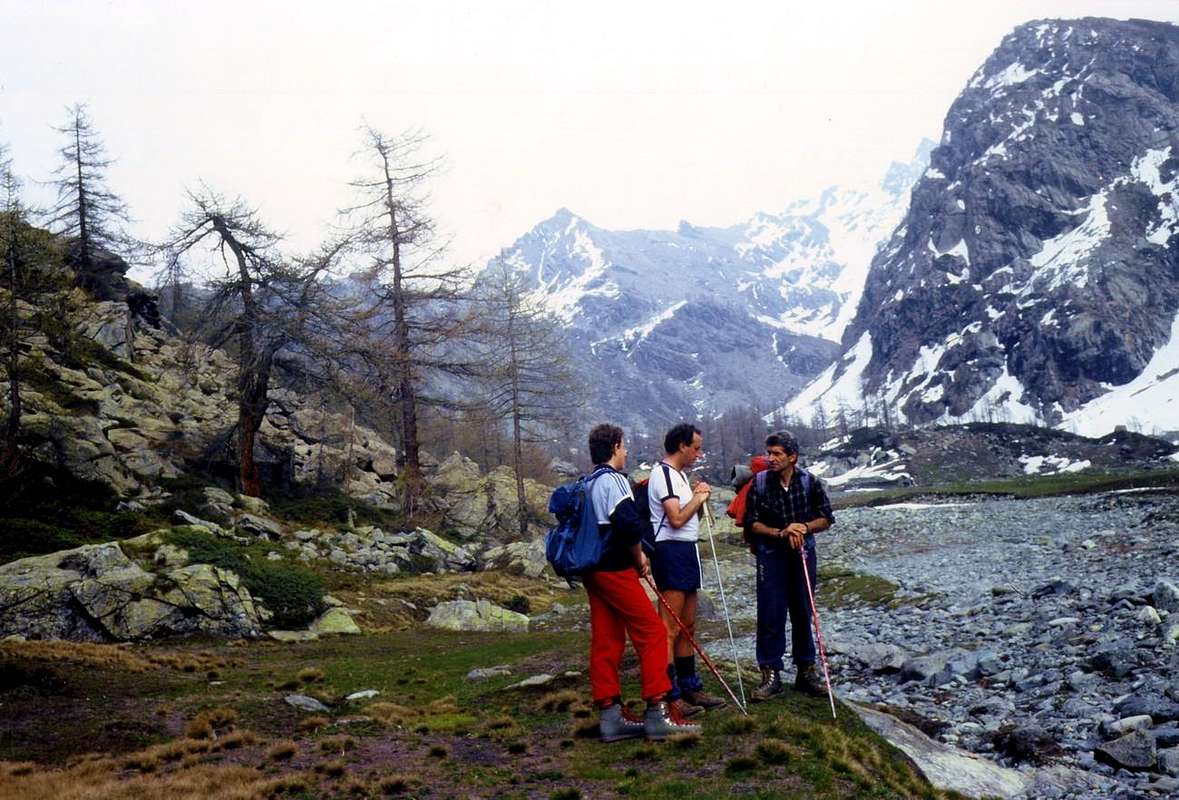
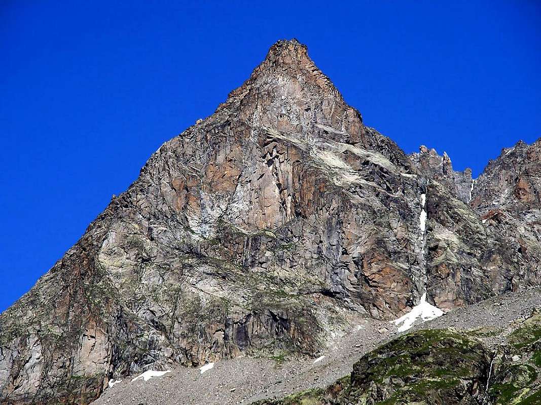
TERSIVA / AVERTS / PENNE BLANCHE AREA - TURATI's Private WILDLIFE RESERVE
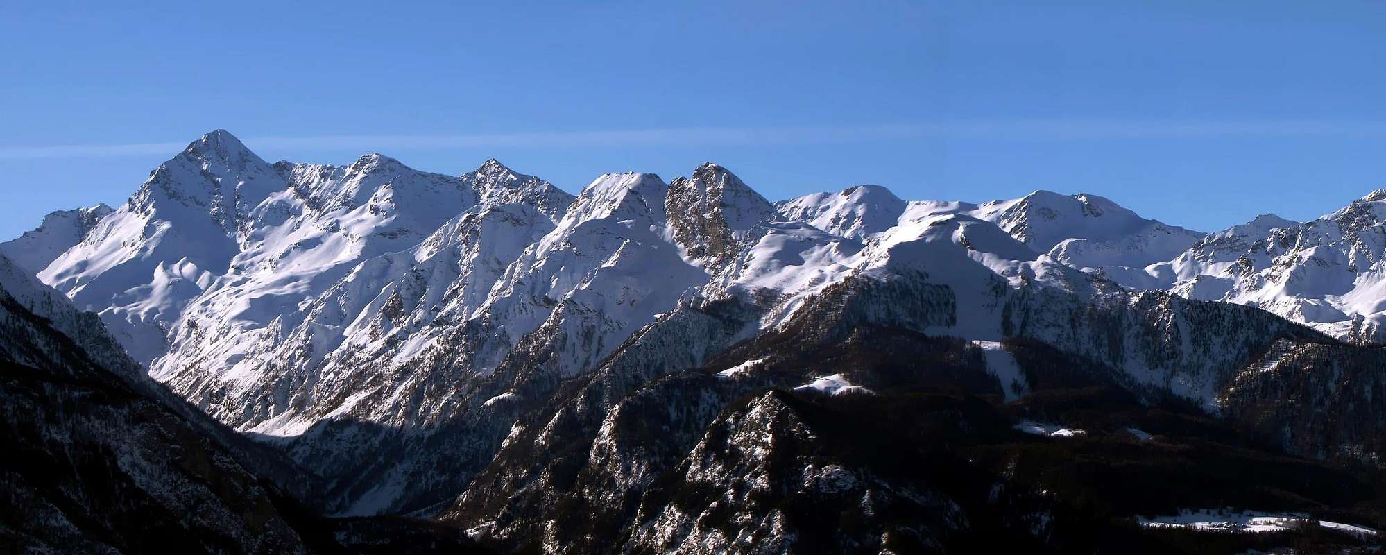
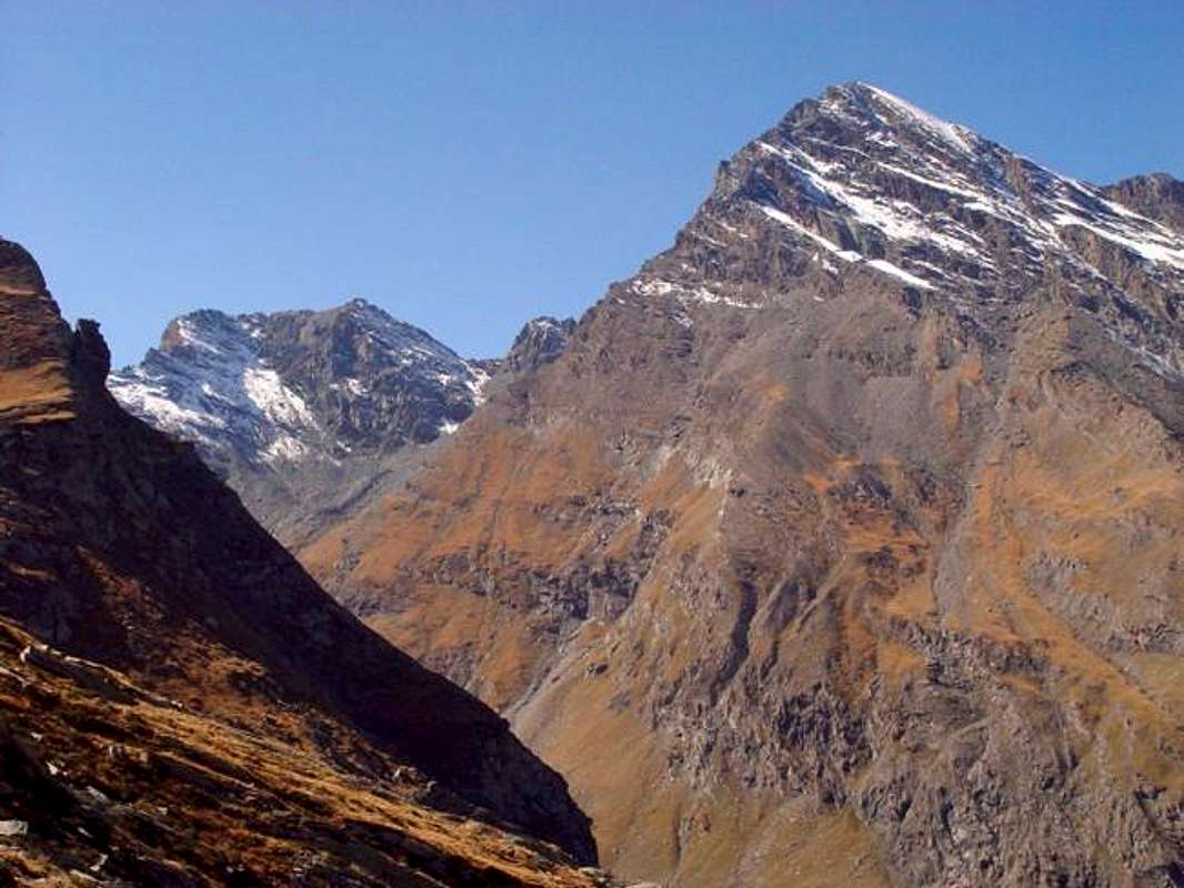
MONTE AVIC REGIONAL NATURE PRESERVE
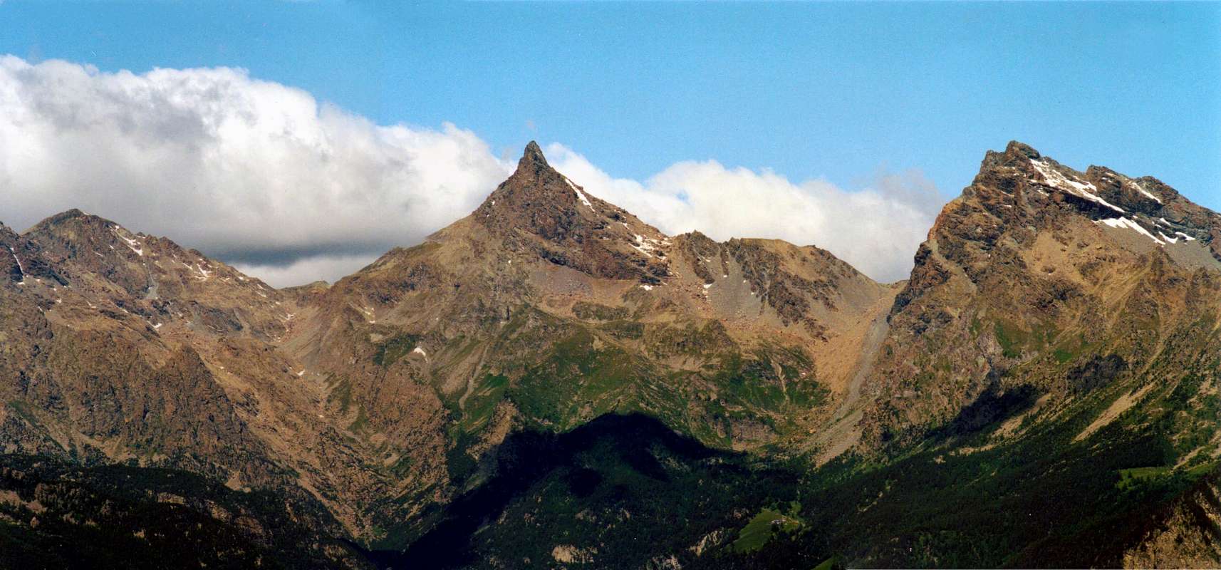
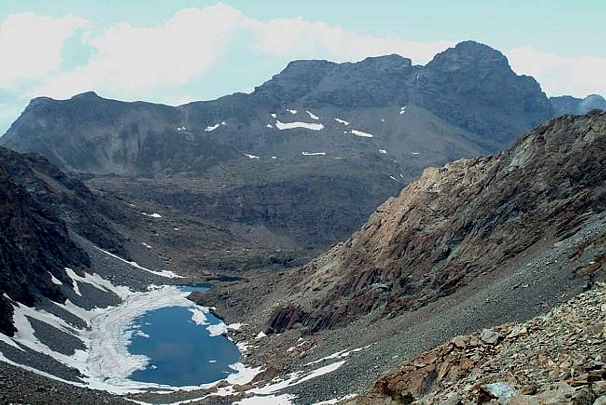
MONTE EMILIUS / GRANDE ROISE MOUNTAIN CHAIN - TURATI's NATURE WILDLIFE RESERVE - PIC GARIN AREA
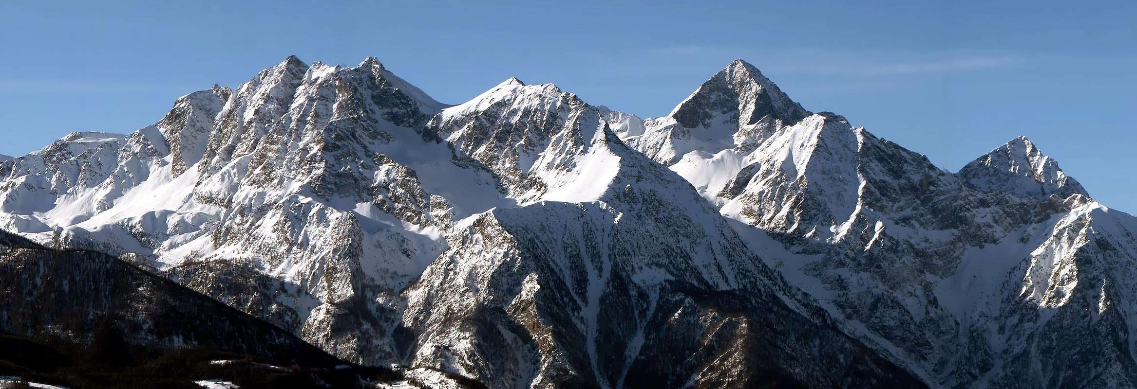
LAVINA TOWER/ AROLLA GROUP AREA - GRAN PARADISO NATIONAL PARK

SENGIE-VALEILLES-ONDEZANA / APOSTOLI GROUP AREA - GRAN PARADISO NATIONAL PARK
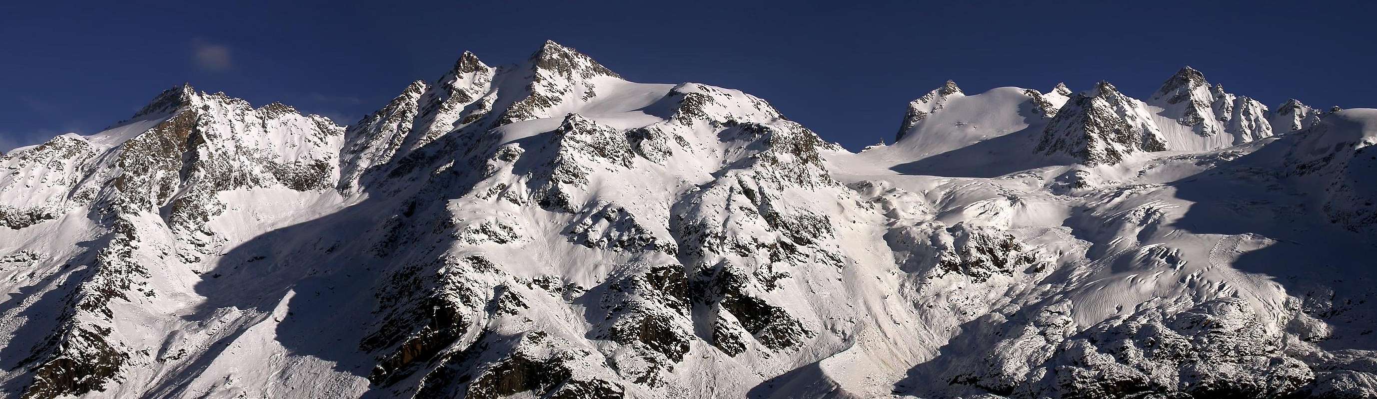
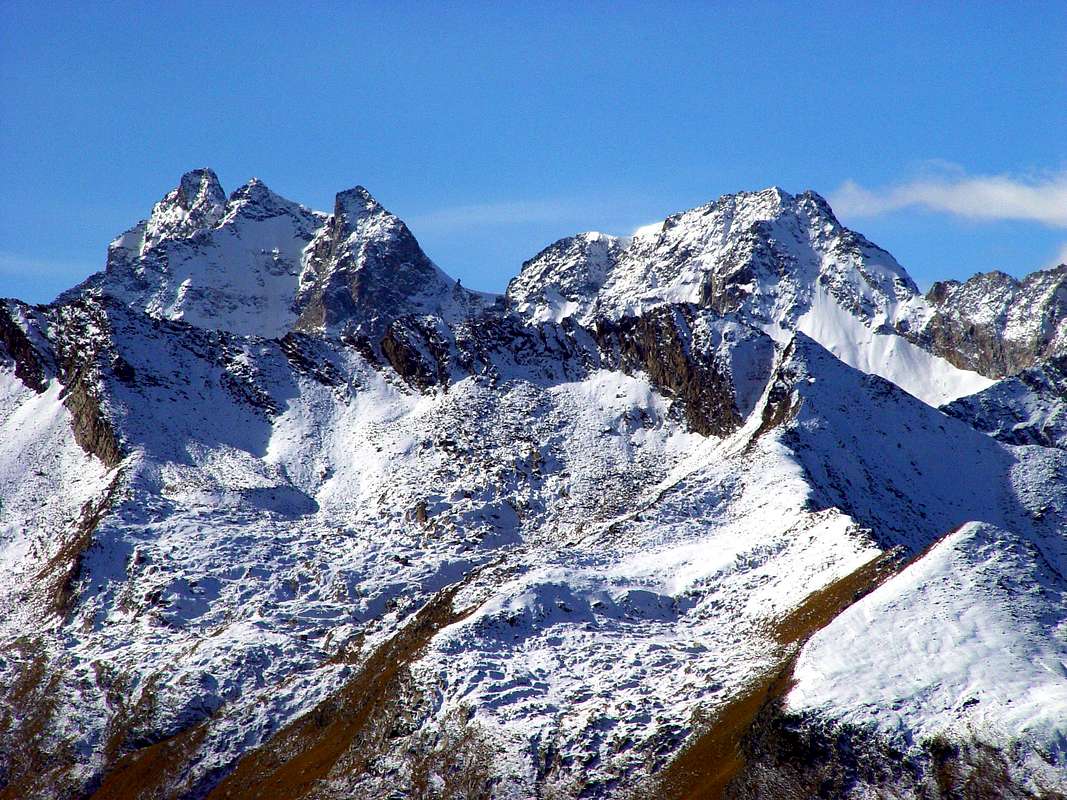
GRAN PARADISO / CIARFORON / PUNTA FOURA' / HERBETET AREA - GRAN PARADISO NATIONAL PARK
|

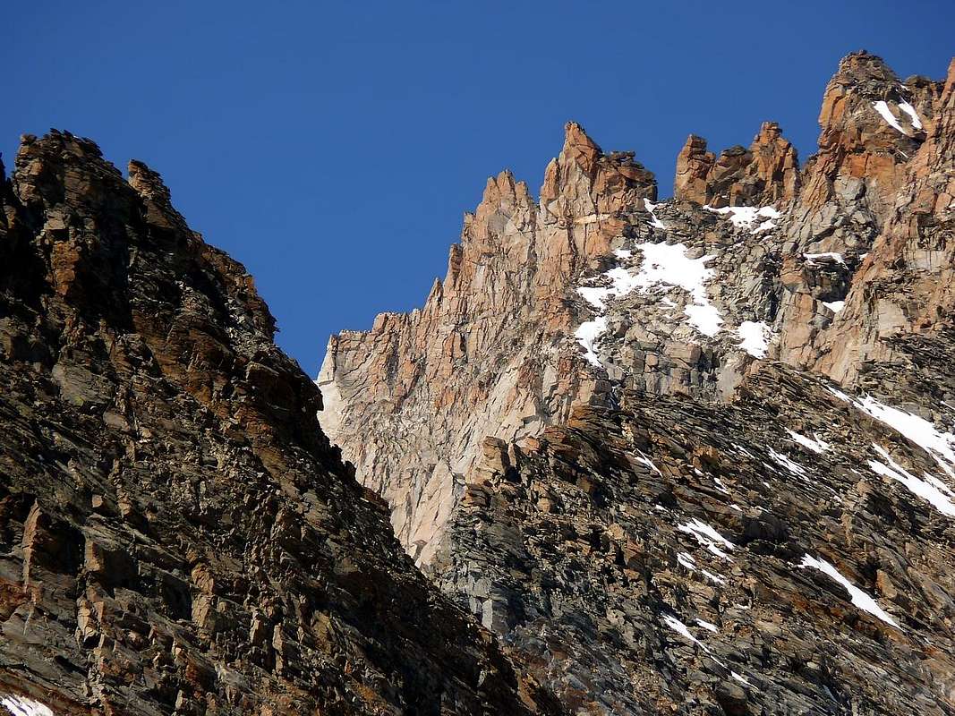
La GRIVOLA / GRAND NOMENON - GRAN PARADISO NATIONAL PARK AREA

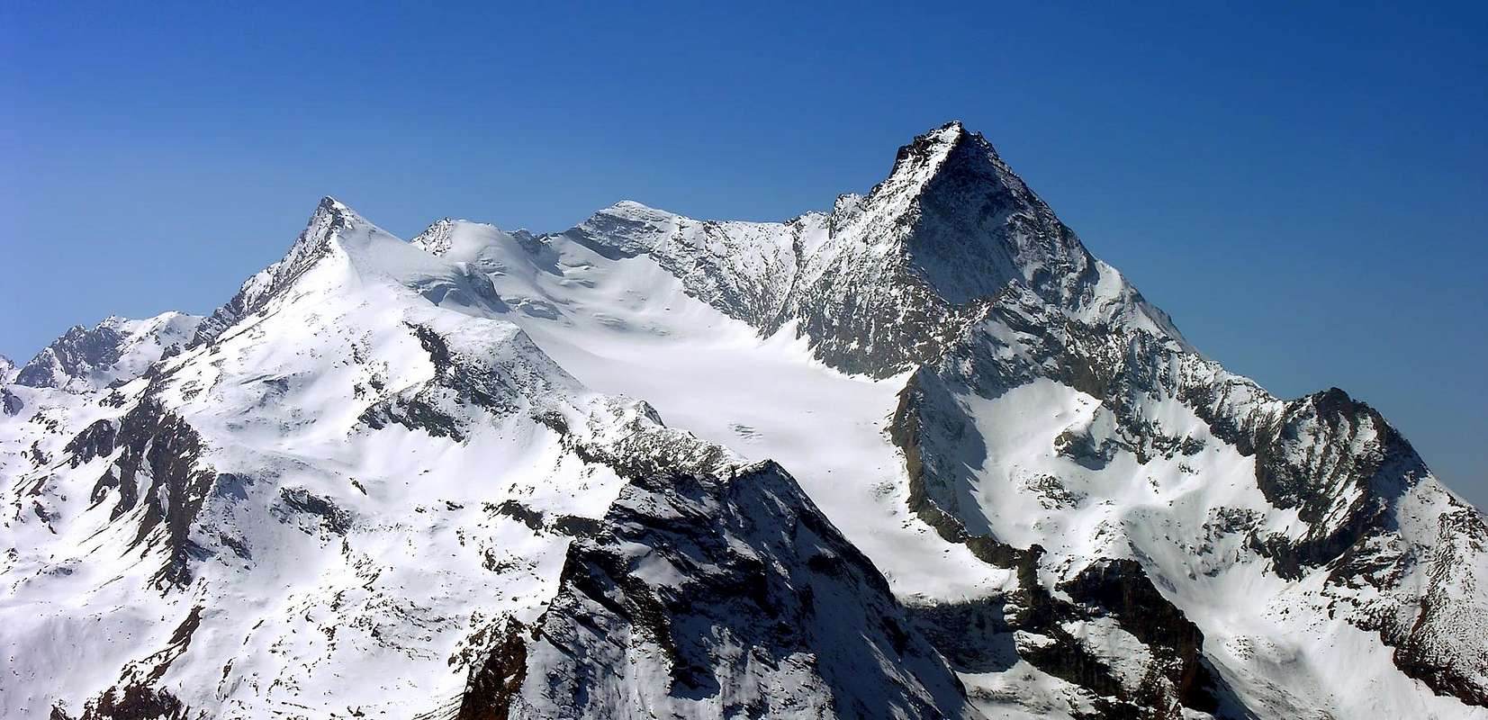
BIOULA / GRAN VAUDALA / BASEI / GALISIA - GRAN PARADISO NATIONAL PARK / AIGUILLE ROUSSE - VANOISE's NATIONAL PARK AREA
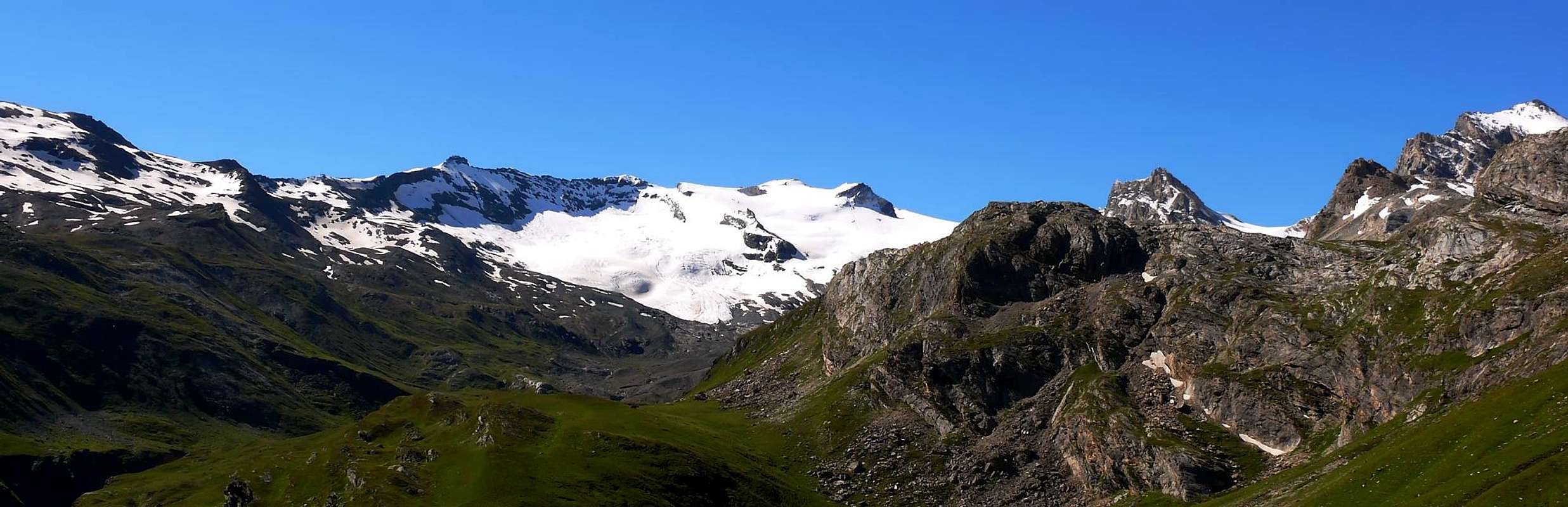
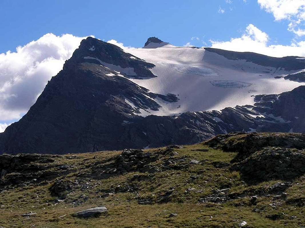
TSANTELEINA/GREAT SASSIERE RESERVE NATURE WILDLIFE and VANOISE's NATIONAL PARK / GRANTA PAREI / GRANDE ROUSSE AREA
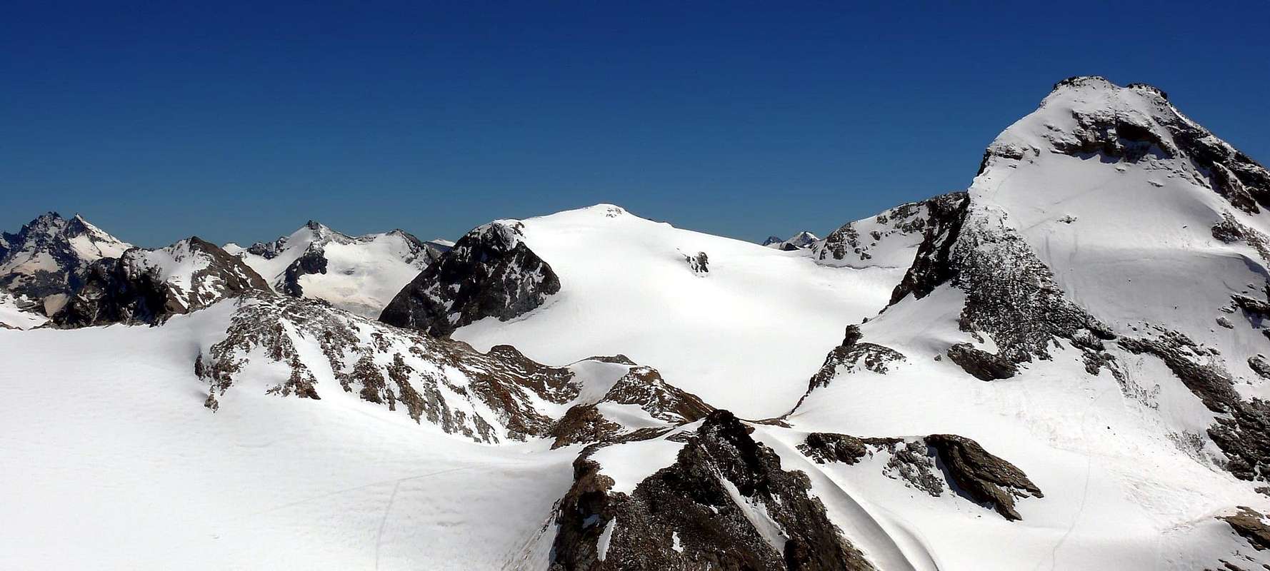
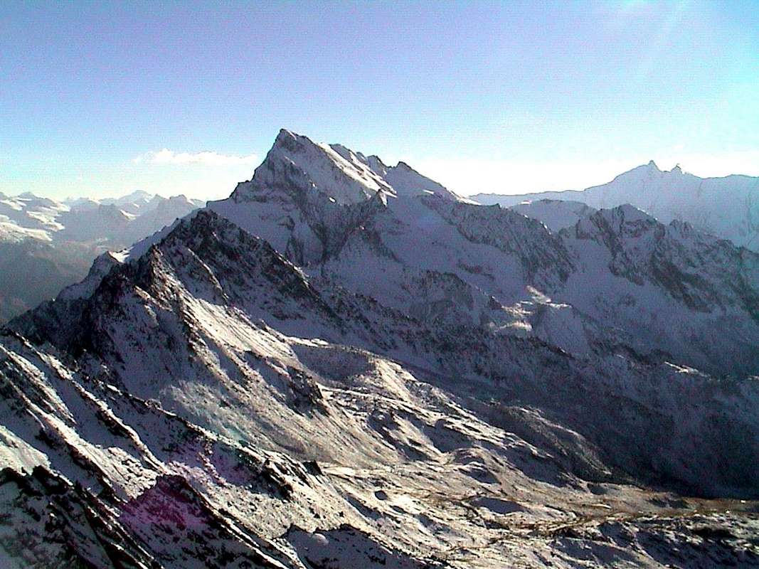
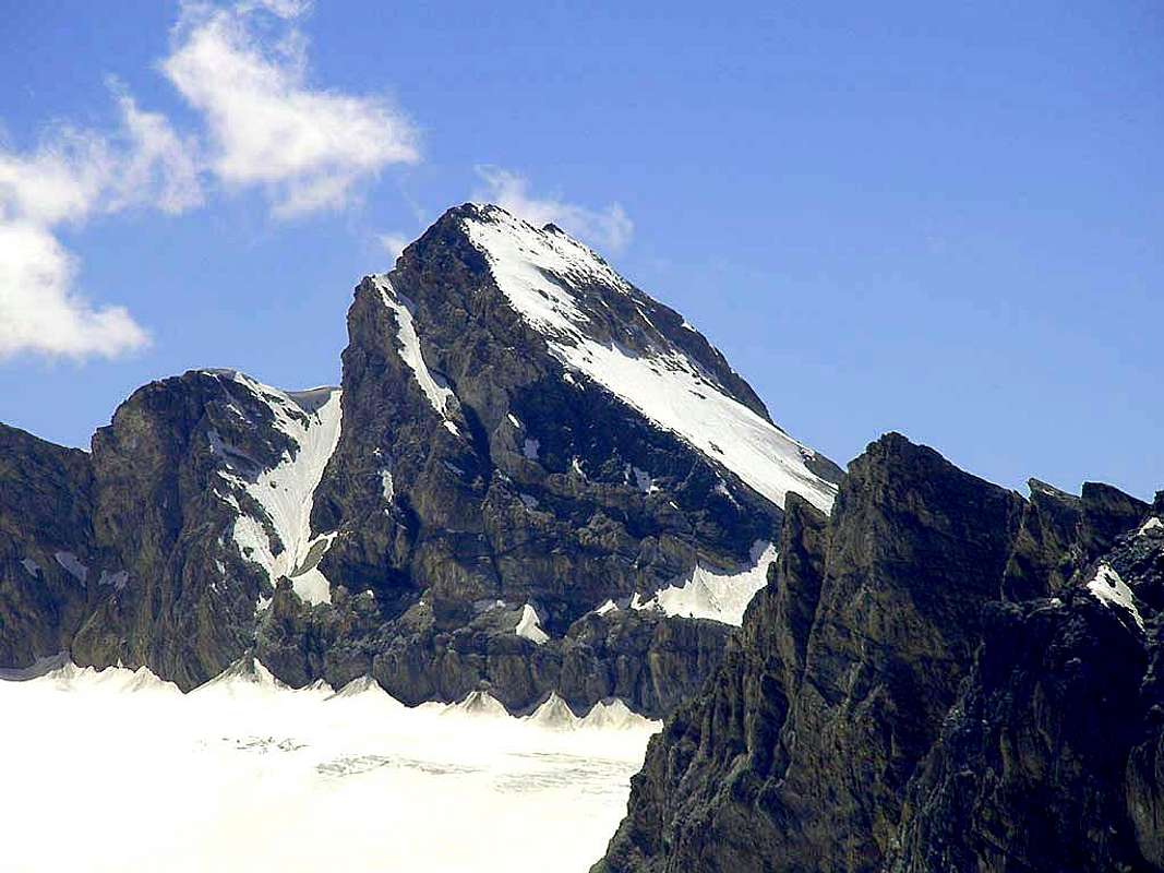
COMPLETE WORKS & OPERA SUMMARY - BOOKS & MAPS
Idealization of the Omnia Work and Texts, by Osvaldo CARDELLINA.
Mountain Chains & action Colorphotos, colorpictures, B&W photographs, by Antonio GIANI, Emilio BERTONA & Osvaldo CARDELLINA.
Besides, Action photographs & other, by Various AUTHORS & WRITERS
"Roccia Viva Summit and Ceresole Dam", by "GREAT PARADISE South Face from Tresenta 1967", by Gianni JUNOD;
"Roccia Viva", by livioz;
"TSANTELEINA (3601m) N & E Faces from GOLETTA PEAK (3291m)", by Marco COSSARD;
"Tsanteleina from Goletta Peak 1976", by Marco COSSARD;
"AOSTA VALLEY TSANTELEINA crossing 1976", by Marco COSSARD;
"To PERCIA SOUTH SUMMIT (3209m) GARIBALDIANstep", by Marco COSSARD;
"CREVASSINO" a group of roped climbers HEAD, CHIEF, LEADER & BOSS in GALISIA and BOUSSON Points (3346m; 3337m)", by Eugenia COME';
"GALISIA Point SUMMIT(3346m), after SNOWYSTORM", by Marco COSSARD;
"GREAT PARADISE South Face from Tresenta 1967", by Gianni JUNOD;
"SAINT OURS (BEAR) TOWER 1969 SUMMIT", by Ilario Antonio GARZOTTO;
"CIARFORON (3640m) from LA TRESENTA", by Gianni JUNOD;
"Overall view of the Apostoli Range...", by livioz;
"CARLO POL BIVOUAC (3183m) on 1967", by Gianni JUNOD;
"PATRI' POINTS (3518m) Exit out from NW icy Face on 1969", by Ilario Antonio GARZOTTO;
"BECCA of MONCIAIR (3554m) from CIARFORON", by Ilario Antonio GARZOTTO;
"BECCA of MONCIAIR (3554m) in descent from CIARFORON PASS", by Ilario Antonio GARZOTTO;
"NEW LIFE on FOURQUIN of BIOULA", by Ilario Antonio GARZOTTO;
"BECCA di MONCIAIR North Face at beginning", by Camillo Roberto FERRONATO;
"FOURQUIN de BIOULA Traverse", by Ilario Antonio GARZOTTO;
"FOURQUIN of BIOULA West Summit (2985m) after the crossing", by Ilario Antonio GARZOTTO;
"Money Bivouac 1969", by Ilario Antonio GARZOTTO;
"The king of Gran Paradiso National Park", by Maria Grazia SCHIAPPARELLI;
"The west flank of Ciarforon", by andrea.it;
"Gran Paradiso GROUP: along...", by maria grazia s;
"Gran Paradiso GROUP: going into the hearth of Vallone di Acque Rosse...", by marco87;
"Roccia Viva, Becca di Gay and Gran Crou", by livioz;
"Punta Arpisson (m. 3030)", by Paolo OLIETTI (OliettiPaolo);
"From BECCA of MONCORVE' to CIARFORON 1971", by Saverio CUSUMANO;
"From "Crevassino" to two P. Percià North & South 1973", by Marco COSSARD;
"Relax ... and Breakfast ... to Punta Bousson", by Marco COSSARD;
"From Goletta Peak to Tsantelèina Point North Face 1976", by Marco COSSARD;
"From Point Tsantelèina to Eastern GRAIAN Alps 1976", by Marco COSSARD;
"From Tsantelèina to Goletta Hill & B. Traversière 1976", by Marco COSSARD;
"Descending on Tsantelèina North-northeast Edge 1976", by Marco COSSARD;
"GREAT PARADISE Tresenta Ski-mountaineering May 1968", by Raymond ROSSET;
"G. PARADISE Cold Tresenta Point Summit (3609m) 1968", by Raymond ROSSET;
"Osvaldo Cardellina all'uscita..." (1°), by Alessandro "Lupetto" CASALEGNO; Collection of Osvaldo CARDELLINA;
"Osvaldo Cardellina durante..." , by Alessandro "Lupetto" CASALEGNO; Collection of Osvaldo CARDELLINA;
"Osvaldo Cardellina all'uscita..." (2°), by Maurizio CASTELLAN; Collection of Osvaldo CARDELLINA:
"From the cross placed near...", by livioz;
"Fourquin de Bioula (2965 m), SE side", by "Punta Bioula", by andrea.it;
"But that mountain is this? Pic Molère. No is Vòrea 1987", by Camillo Roberto FERRONATO;
"Monte Marzo 2756 m", by Andrea PERINO (andreaperino);
"Monte Nero", by Gabriele ROTH (gabriele);
"Tsanteleina", by Gabriele ROTH (gabriele);
"Punta Basei", by Gabriele ROTH (gabriele).
"Grande Rousse after snowfall 1980", by Camillo Roberto FERRONATO;
"Mont Forciaz", by Marco COSSARD "Crevassino";
"G. PARADISE Ciarforon North & Northeast Faces 2000", by Emilio BERTONA aka emilus;
"GREAT PARADISE Bousson & Galisia Summits 2000", by Emilio BERTONA aka emilus;
"GREAT PARADISE At the beginning to Tresenta 2000", by Emilio BERTONA aka emilus;
"GREAT PARADISE or ... Punta Tresenta Summit 2000", by Emilio BERTONA aka emilus;
BASE BOOKS & MAPS
BASE BOOKS: "Voyages dans les Alpes", by Horace Bénedict De Saussure, Tome I 1779, Tome IV 1796; "Manuel du voyageur en SUISSE et à Chamonix" - Nouvel Ebel, by Adolphe Joanne, Second Edition 1859; "La Vallée d'Aoste", by Edoard Aubert, 1860; "A Handbook for Travellers in Svitzerland, Savoye, and Piedmont", by John Murray, Twelfth Edition 1867; "Studi sul Gruppo del Gran Paradiso", by Martino Baretti, 1867; "Historique de la Vallée d'Aoste", by Jean Baptiste De Tillier, 1888; "Climbers' Guide to the Central Pennine Alps", by William Martin Conway, 1890; "The Mountains of Cogne", by George Yeld and W.A.B. Coolidge, 1893; "Guida delle Alpi Occidentali Vol. II°, Parte 2°, by Giovanni Bobba and Luigi Vaccarone, 1896; "Scrambles in the Eastern Graians 1878-1897", by George Yeld, 1900; "Nel Regno del Cervino", by Edmondo De Amicis, 1905; "Les Alpes Occidentales", by Federico Sacco, 1913; "Guide du Valpelline", by Abbot Joseph Maria Henry, 1925; "Le Alpi Pennine", by Silvio Saglio, 1951; "La Luce delle vette", by Francesco Cavazzani, 1954; "Guida della Regione Autonoma della Valle d'Aosta", by Mario Aldrovandi, 1964; Monte Marzo e la cresta dal Colle dei Corni al Colle di Valbella", by Piero Falchetti, 1966; "Dal Bec d'le Steje alla Cima Battaglia", by Piero Falchetti, 1968; "Gran Paradiso - itinerari scelti", by Roberto Mantovani and Renato Misischi, 1974; "80 itinerari di escursionismo alpinismo sci alpinismo in valle d'aosta", by Osvaldo Cardellina, 1977; "Guida del Monte Emilius, by Osvaldo Cardellina, 1978. C.A.I./T.C.I. Collana Guide dei Monti d'Italia-Italy of the Mounts Guides SERIES, Volumes: "Monte Rosa", by Sivio Saglio and Felice Boffa, 1960; "Gran Paradiso", by Emanuele Andreis, Renato Chabod and Mario Carlo Santi, 1939; Reprint 1963; "Monte Bianco Volume I°", by Renato Chabod, Laurent Grivel and Silvio Saglio, 1963; "Aggiornamenti alla Guida del Gran Paradiso (Seconda Edizione)", by Renato Chabod and Piero Falchetti, 1964; "Monte Bianco Volume II°", by Renato Chabod, Laurent Grivel, Sivio Saglio and Gino Buscaini, 1968; "Alpi Pennine Volume II°", by Gino Buscaini, 1970; "Alpi Pennine Volume I°, by Gino Buscaini, 1971; "Gran Paradiso", by Emanuele Andreis, Renato Chabod and Mario Carlo Santi, Third Edit. with revisions and collaborations by Renato Chabod, Ugo Manera and Corradino Rabbi, 1980; "Alpi Graie Centrali", by Alessandro Giorgetta, 1985; "Monte Rosa e Mischabel", by Gino Buscaini, 1991; "Monte Bianco Volume I°", by Gino Buscaini, 1994; "Emilius Rosa dei Banchi Parco del M. Avic", by Giulio Berutto and Lino Fornelli, 2005; "Parco Naturale Mont Avic", by Naldo Finco & Luca Zavatta, Giugno 2006; "Aosta 2000 Anni di Storia" Itinerari turistico culturali, by Mauro Caniggia Nicolotti, Edit. Musumeci in Aosta, 2003. BASE MAPS- Kompass "Gran Paradiso Valle d'Aosta" Sentieri e rifugi-Carta turistica 1:50.000.
- I.G.C. Istituto Geografico Centrale "Gran Paradiso La Grivola Cogne" Carta n° 101 1:25.000.
- I.G.C. Istituto Geografico Centrale "Il Parco Nazionale del Gran Paradiso" 1:50.000.
- I.G.M. Istituto Geografico Militare Foglio n° 41 "Gran Paradiso-Cogne" 1:25.000.
- A.I.A.T. Cogne "Gran Paradiso" Cogne Aymavilles-Walking map 1:25.000.
- enrico editori ivrea - aosta "gruppo del gran paradiso carta turistica delle valli Cogne Valsavaranche Rhemes Valgrisenche La Thuile Orco Soana", 1° Edizione, 1:50.000.
- enrico editori ivrea "gruppo del gran paradiso carta turistica delle valli Cogne Valsavaranche Rhemes Valgrisenche La Thuile Orco Soana sentieri turistici itinerari scialpinistici", 2° Edizione, 1:50.000.
- enrico editori ivrea "carta turistica del CANAVESE" (Con Alta Via n° 2), 1:100.000;
- Studio F.M.B. Bologna "Gran Paradiso" 1:50.000.
- L'Escursionista "Valle di Cogne Carta dei Sentieri" (n° 10) 1:25.000.
- L'Escursionista "Tour de la Vallée de Cogne Grand Paradis" Carta dei sentieri 1:25.000.
- L'Escursionista & Monti Editori "Dora Baltea Canavesana, Valchiusella, Valle Sacra n° 16 1:25.000.
- L'Escursionista Edit. "Parco Naturale Monte Avic Carta dei sentieri" (con opuscolo allegato di Naldo Finco e Luca Zavatta con varie cartine) 1:25.000.
- "Sentieri di Valsavarenche" Valico Edizioni per il Comune di Valsavarenche 1° Edizione Marzo 2003; 2° Edizione Settembre 2006 1:50.000.
- "Cogne Map" a cura dell'Ufficio Regionale del Turismo e dell'Ufficio del Turismo Cogne (Con pianta del Comune e delle Frazioni e Carta del Resort 1:25.000), Ediz. L'escursionista sas Rimini 2010.
- "Gran Paradiso Cogne - Valsavarenche Map" a cura dell'Ufficio Regionale del Turismo Cogne (Con n° 2 Carte Scala 1:25.000 de L'escursionista sas, Rimini 2011 concernenti i Comuni di Cogne e Valsavarenche con segnaletica relativa a: Percorso Alte Vie, Tour Valle di Cogne, Sentieri Intervallivi e Via Alpina).
- "Carta Turistica della Valle d'Aosta", della Regione Autonoma della Valle d'Aosta Assessorato al Turismo, a cura di Alessio Nebbia; Istituto Geografico De Agostini Novara, 1957 1.100.000
- A.I.A.T. Cogne "Emozioni di fondovalle" (Con piantine delle piste e n° 2 Carte Hapax 2009 al 1:25.000).
- Hapax "Comunità Montana Valdigne Mont - Blanc Cartografia Escursionistica" (territorio Sentieri & natura della Comunità), Aosta 2009 1:50.000.
- Istituto Geografico Centrale - Torino "Carta delle Passeggiate ed Escursioni nella Conca di Pila - Gressan in Valle d'Aosta", Aprile 1973 1:20.000.
- "Sentiers de la Communauté Mont Emilius (Sarre, Aosta, Saint Christophe, Quart, Nus) 1° Ediz. Aprile 1997 1:30.000.
- Hapax "Les sentiers Carta Escursionistica ((Comuni di Jovençan, Gressan, Charvensod, Pollein, Brissogne, Saint Marcel e Fénis)", 1° Ediz. Luglio 2000, 1:25.000;
- Hapax "Les sentiers de Champorcher", 1°, 2° e 3° Edizione aggionata, Agosto 2001, 1:25.000;
- Hapax "Les sentiers de Charvensod", Giugno 2003, 1:25.000;
- Hapax "Comunità Montana Mont - Emilius territorio Sentieri & natura della Comunutà (Jovençan, Gressan, Charvensod, Pollein, Brissogne, Saint Marcel e Fénis)", 2° Ediz. Aosta 2008, 1:25.000.
- Hapax "Comune di Charvensod territorio Sentieri & natura del Comune" (Con all'interno tracciato completo della Sky Race Aosta - Charvensod - Becca di Nona), 2010, 1:25.000;