Summer tour in the Maddalene group
The Maddalene are a mountain range that connects SouthTyrol and Trentino.
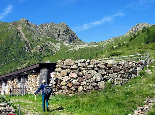
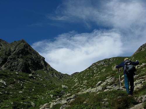
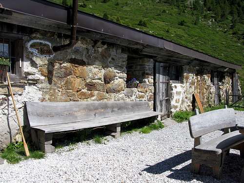
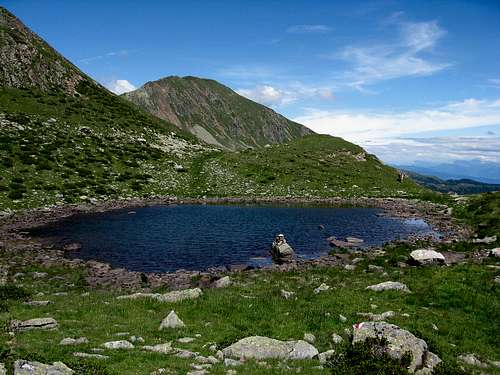
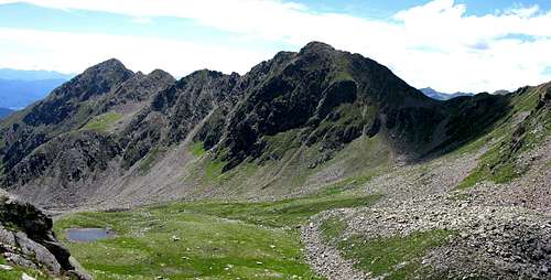
Characteristicfor the Gruppo delle Maddalene are soft hills and mountains displaying a height of less than 2,700 metres. There is no mass tourism and the nature is still intact. This area is especially impressive in the period of blossom. The Gruppo delle Maddalene is situated about 10 km from Cles, main locality of the Valle di Non. From Val di Non to Proves and then towards Val d'Ultimo We start our tour at the parking space between the tunnels on the road of the Passo Castrin. The marker no. 8 “Malga Castrin/Hofmahd” leads us uphill in north direction. After a few minutes through the forest we arrive at the Alpine meadow “Hofmahd” in an ocean of orchids and Alpine flowers. Here the path no. 133 turns left, we walk uphill until the forest. Soon the meadows of the Malghetto di Cloz (Obere Alm) follow. We stay on the path no. 133 which leads us now through the larch and pine forest to the Malga Kessel. This pasture is located in a cirque which is formed by the mountains Cima Belmonte (Schöngrub), Vedetta Alta (Hochwart) and Monte Ometto (Mandelspitz) 2395m.
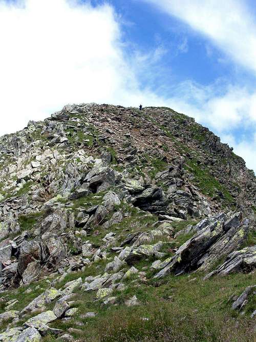
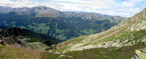
From the top of the Vedetta Alta 2627m. you can see the Val d'Ultimo, the val di Non, the Alpe di Brez, Cima Belmonte, Cornicoletto and monte Luco e monte Ometto.
External links


