
|
|
Mountain/Rock |
|---|---|
|
|
32.84360°N / 108.2838°W |
|
|
Grant |
|
|
Hiking |
|
|
Spring, Fall, Winter |
|
|
7275 ft / 2217 m |
|
|
Overview
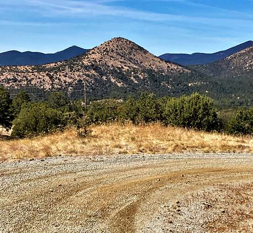
Gomez Peak is located north of Silver City, New Mexico in the Gila National Forest. The mountain has a dedicated trailhead and a trail system that winds around the mountain and leads to the summit. The trail system also can be used to reach its higher neighbor Eighty Mountain 7,461’.
While not particularly prominent, only by about 600’, the conical shape makes for a great profile, and its location allows for excellent views in all directions. Further, its north face is devoid of trees, which makes views from high up more broad as compared with other nearby mountains that have more tree cover.
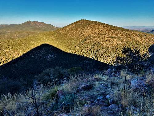
It is a relatively easy hike that can be combined with Eighty Mountain. There are quite a few other summits in the area rather accessible, including Pinos Altos Mountain 8,127’ less than three miles north-northwest.
The best time to hike up Gomez Peak is probably late winter, spring and fall. Summers can get pretty hot and winters cold and snowy. There is plenty of wildlife in the area, including bears, so be mindful.
However, Gomez Peak is quite popular, so more likely than not you’ll have human company.
Getting There
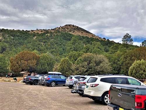
From Silver City, New Mexico take E. 14th Street off of N. Hudson Street (NM-90) and in less than a quarter mile there is a right turn on Little Walnut Road. From there, drive a little over 4 ½ miles to the trailhead on the left.
Route
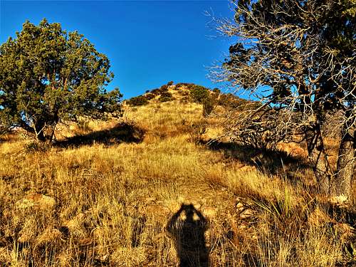
From the trailhead, the shortest route is to take the Pinon Loop southbound. It turns to the right after about 250 yards and continues through the forest. At about ¾ of a mile from the trailhead, there is a junction. Take a left on the trail leading to Gomez Peak. From there, it is another mile or so up to the summit. The total elevation gain is about 835’.
If wanting to add Eighty Mountain, take the Pinon Loop northbound instead to get on the Mountain Loop. There are maps along the route showing the location. They aren’t necessarily perfect, with some faded a little bit. However, it is enough to avoid getting lost.
The summit itself isn’t too large and has a wind shelter.
Red Tape
Parking is free at the trailhead. It is generally considered open at sunrise and closed at sunset. The trailhead and the land are within Gila National Forest. Watch for mountain bikers.
External Links
Trailhead Information: https://www.fs.usda.gov/recarea/gila/recarea/?recid=10695