

Viewing: 1-1 of 1
litbeck2003 - Jul 5, 2011 6:56 pm - Hasn't voted
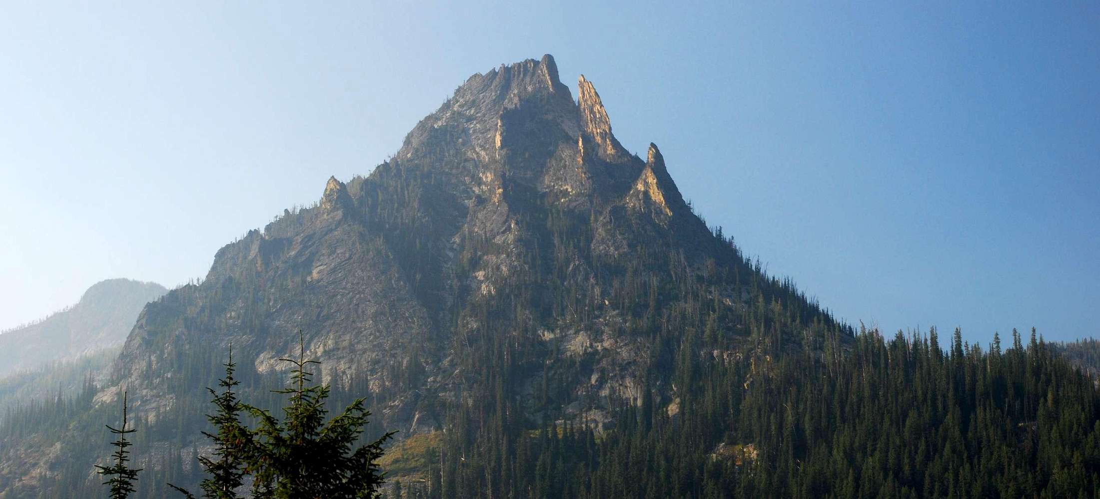
the finmy brother and i where hiking today and funny enough we took a few of the same photos that you took of this crag, the meadow before the lake, and of the lake. great hike, werent expecting to go to the lake but thats where we ended up. not a bad day hike either.
Viewing: 1-1 of 1


Comments
Post a Comment