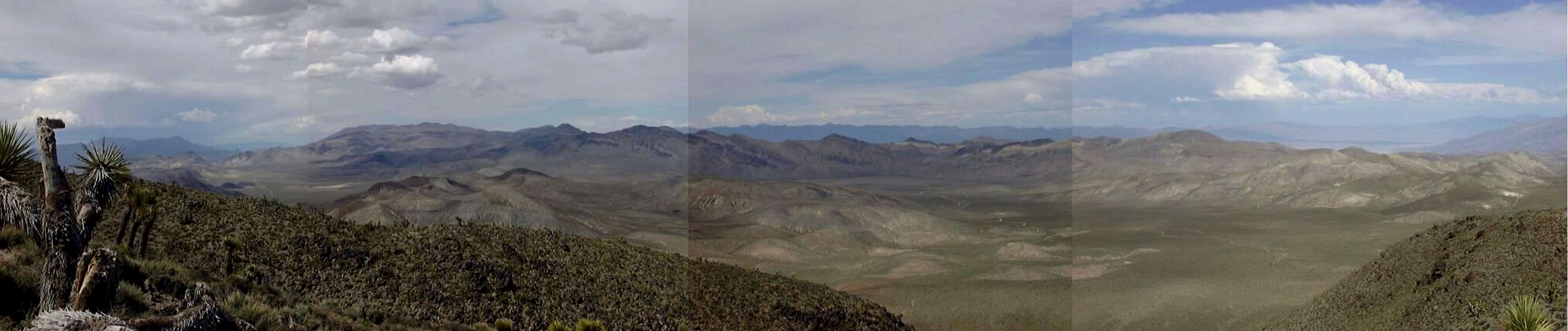
A panorama (4 spliced shots) looking north and east from near Hunter Mountain, close to the geographic center of the park. At left are Hidden Valley (background) and Ulida Flat (midground), and at right is Sand Flat, location of the Quackenbush Mine. This image is an expanded version of
an earlier one posted at the
Ubehebe Peak page.


