-
 4807 Hits
-
 75.81% Score
-
 6 Votes
|
|
Mountain/Rock |
|---|---|
|
|
37.86356°N / 109.4718°W |
|
|
Download GPX » View Route on Map |
|
|
San Juan |
|
|
Hiking |
|
|
Summer |
|
|
11209 ft / 3417 m |
|
|
Overview
Horsehead Peak is a neat Abajo summit that, although it rises to 11,209 feet, doesn’t even appear on all topographical maps. I noticed it on the map kiosks displayed in the national forest and decided to take a look. There are probably many directions to tackle this trail-less peak from, though I chose to do so from North Creek Pass. In fact, now that I’ve analyzed the terrain more, this may be one of the more difficult routes!
Getting There
In Monticello, turn west onto 200S, following the signs for mountain recreation. This turns into Abajo Road and after about five miles, you will pass the Dalton Springs Campground. Very shortly after the campground, you will find Forest Road 79 turning off to the left (south). This is a well-maintained dirt road and should be passable to all vehicles if conditions are good. Just follow it all the way to North Creek Pass, where you will be able to park on the left side. If you have a full day, this spot can also serve as a trailhead to Abajo Peak.
Route
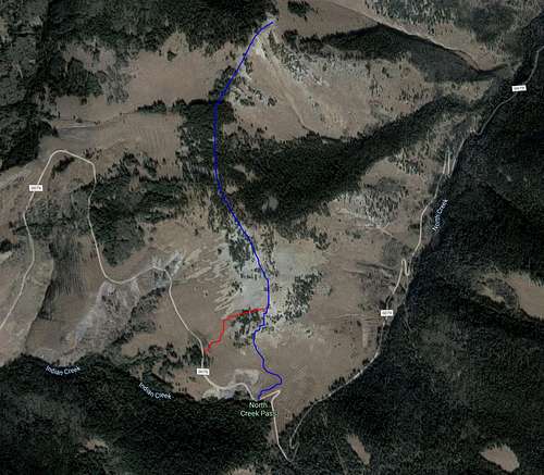
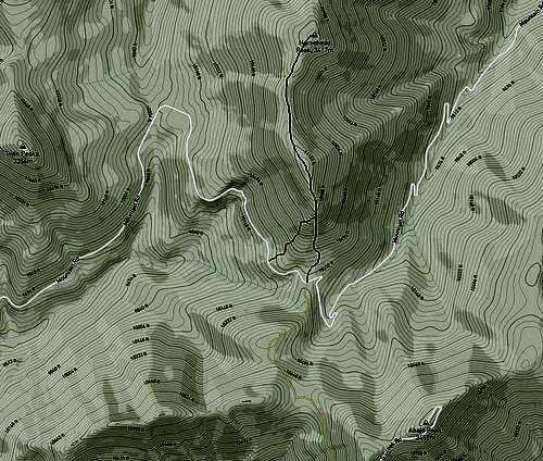
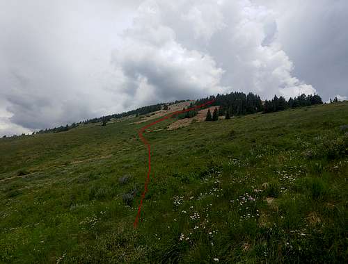
Here are satellite and topographical views of the route I chose. I ascended via the blue (boulder field) line and descended via the red (trees and meadow) one. With a storm moving in during the descent, I decided that grass and trees would probably be safer than loose rock, but it was still steep enough that I’m not sure it made a difference.
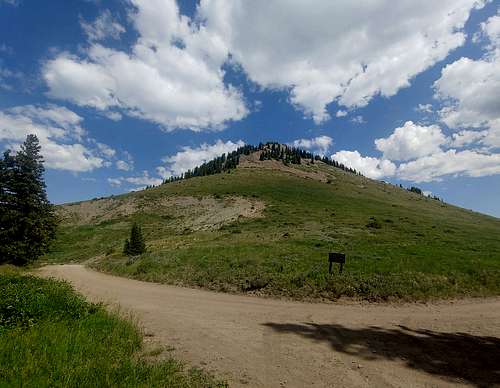
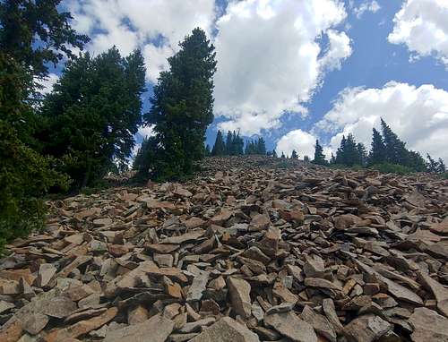
If you choose the direct, head-on ascent, this is what the majority of the climb will look like. The easiest line seemed to first head left, and then zigzag between patches of trees and vegetation. There are also occasionally “scars” in these locations from others ascending, which make for slightly better footing.
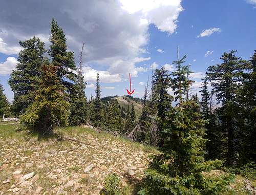
Soon enough, you reach the “false” summit, which is exactly the same elevation as the true summit at 11,209 feet…but since the other one is the named peak, you may as well head over there. It’s an easy, pleasant ~3/4 mile ridge traverse through patches of forest and meadow.
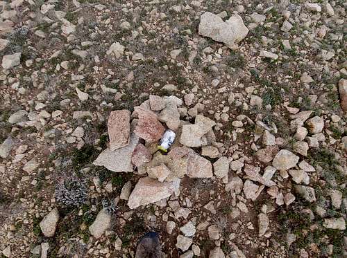
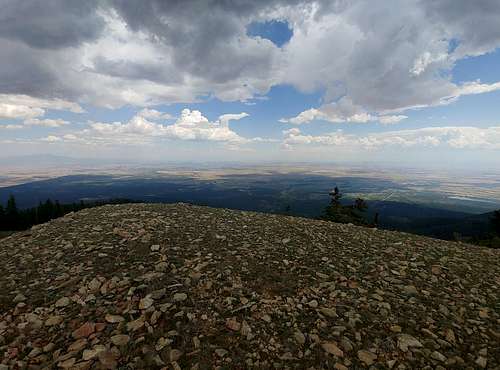
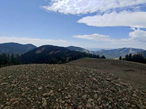
There is a small summit register on top, along with some spectacular views.
On a final note, this is the alternate route I took down while escaping from the storm. You basically bail into the trees to the right just below the “false” summit and follow whatever path of least resistance you think is best. You can mostly avoid the boulder fields this way, but the grass is still quite steep. Once you reach the road, just turn left and follow it back to your vehicle.
Red Tape
None. Horse Head Peak is part of Manti-La Sal National Forest. There is no entry or recreation fee for this area.
When to Climb
This is a great hike for escaping the summer heat.
Camping
A sign at North Creek Pass asks that people “please” not camp at or near the trailhead. There are plenty of dispersed spots further down on the Monticello side of the road, however, and the official Dalton Springs campground is only a short distance away.
External Links
Add External Links text here.


