Toggle navigation
Mountains
Routes
Images
Trip Reports
Forum
What's New
People
Areas & Ranges
Articles
Trailheads
Canyons
Huts & Campgrounds
Albums
Logistical Centers
Fact Sheets
Lists
Custom Objects
Gear
Plans & Partners
WELCOME TO SUMMITPOST
SIGN IN
REGISTER
Kappa Bashi - Myojin Trail (East-shore)
Additional Parents
Image
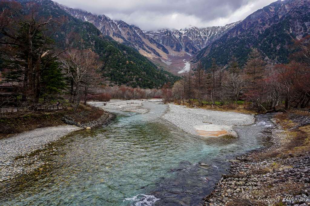
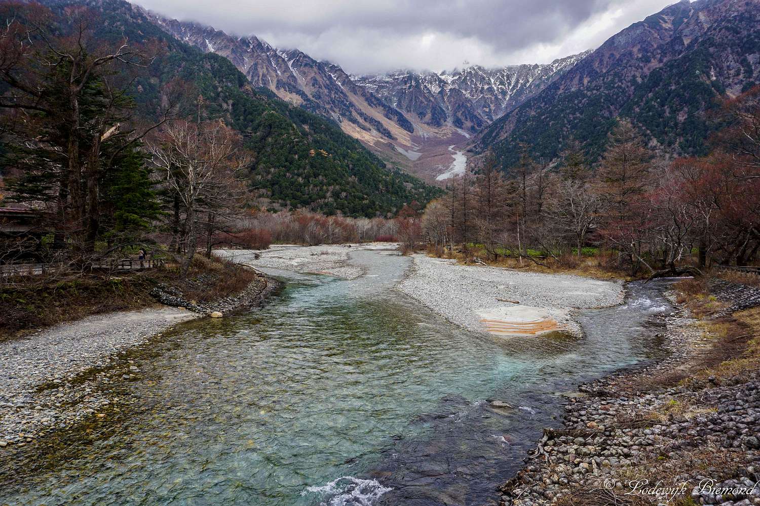
Hotaka Dake (3190m) and Azusa river
View High-Resolution Image
Hotaka Dake (3190m) and Azusa river
Hotaka Dake (3190m) and Azusa river
Kamikochi / 上高地 , Japanese Alps, November 2016
« PREV
NEXT »
Lodewijk
on
Jan 7, 2017 11:14 am
Comments & voting
Other parents
Image ID:
991399
2745 Hits
79.04
% Score
10
Votes
Log in to vote
Comments
No comments posted yet.
to post!
Don't have an account?
Kappa Bashi - Myojin Trail (East-shore)
(Route)
You are at
the First
Image
Viewing
#1 of 21
GALLERY
NEXT »
Lodewijk's Image Gallery
« PREV
Viewing
#1233 of 3858
GALLERY
NEXT »
Kamikochi / 上高地
(Area/Range)
Loading....
Myojin - Kappa Bashi Trail (West-shore)
(Route)
Loading....
×
You need to login in order to vote!
User Name
Password
Remember me
Forgot your password?
Log me out when I close my browser.
Keep me logged in all the time.
sign in as a user
Don't have an account?
Register now for FREE
Rating available
Suggested routes for you
People who climb the same things as you
Comments Available
Create Albums
Register Here


