Toggle navigation
Mountains
Routes
Images
Trip Reports
Forum
What's New
People
Areas & Ranges
Articles
Trailheads
Canyons
Huts & Campgrounds
Albums
Logistical Centers
Fact Sheets
Lists
Custom Objects
Gear
Plans & Partners
WELCOME TO SUMMITPOST
SIGN IN
REGISTER
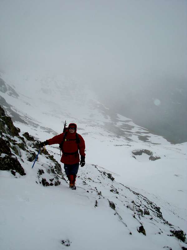
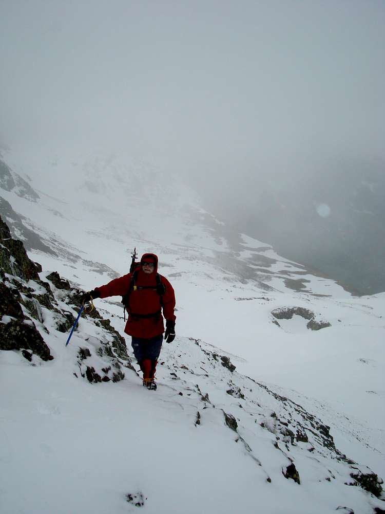
Johnnie tries to find the trail
Johnnie tries to find the trail
View High-Resolution Image
Johnnie tries to find the trail
The trail from the Portillon de Benas to the Tuca de Salbaguardia was poorly marked for snow conditions. There were no signs of any cairns so Johnnie had to use native cunning to locate the path. Foto by Ken
« PREV
NEXT »
DrJonnie
on
Jun 25, 2008 8:49 am
Comments & voting
Other parents
Lat/Lon:
42.69303°N / 0.62141°E
Image Type(s):
Alpine Climbing
Image ID:
415416
740 Hits
0
% Score
0
Votes
Log in to vote
Comments
No comments posted yet.
to post!
Don't have an account?
DrJonnie's Image Gallery
« PREV
Viewing
#997 of 1283
GALLERY
NEXT »
×
You need to login in order to vote!
User Name
Password
Remember me
Forgot your password?
Log me out when I close my browser.
Keep me logged in all the time.
sign in as a user
Don't have an account?
Register now for FREE
Rating available
Suggested routes for you
People who climb the same things as you
Comments Available
Create Albums
Register Here


