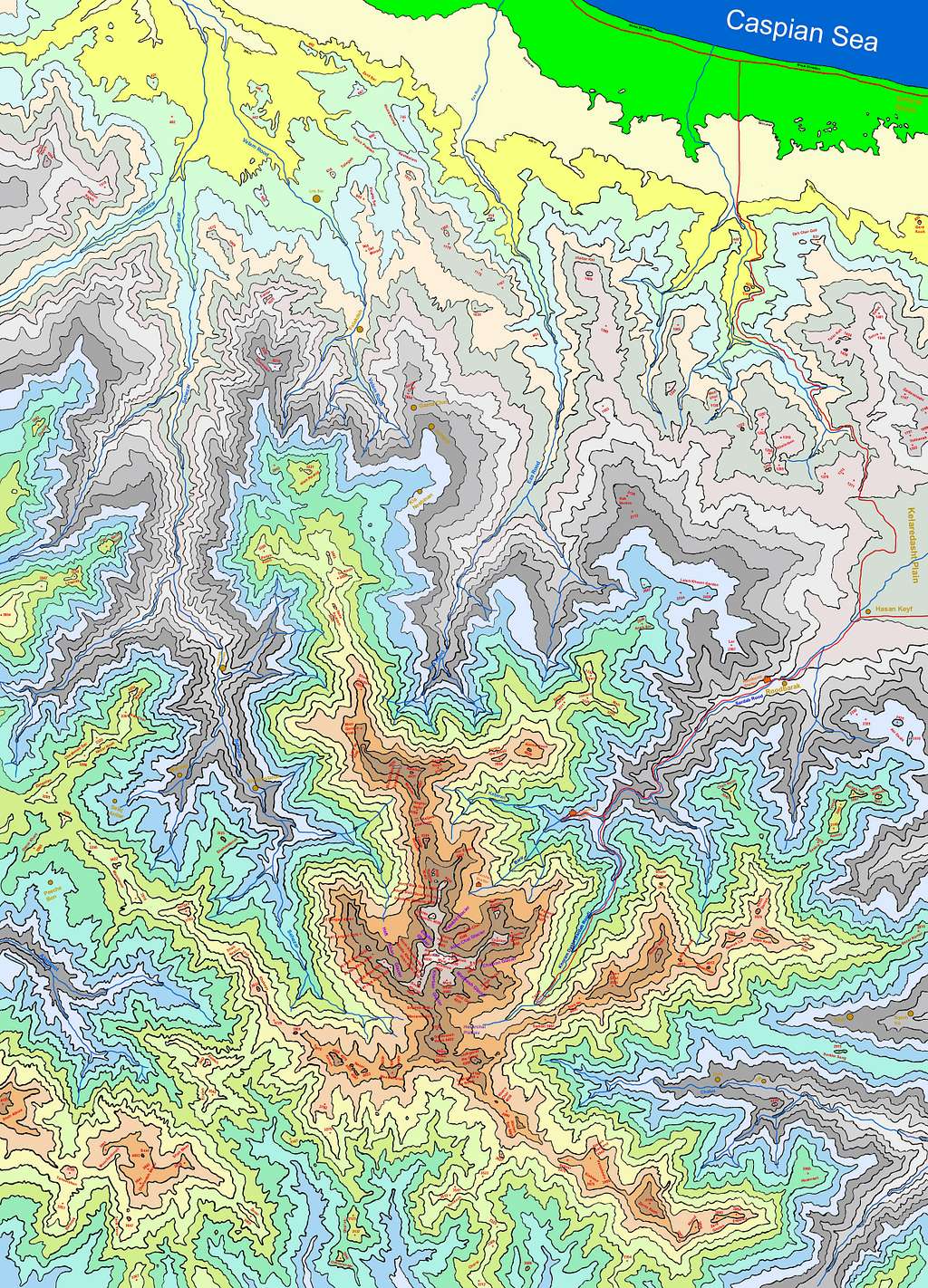
Large Map of Takhte Soleyman Massif

Large Map of Takhte Soleyman Massif
Click on "View High Resolution Image" and then the magnifier/plus sign to see large map
Map of Takhte Soleyman Massif created by me based on the 1:50 000 Maps. This map is to scale and covers an area 56 Km north-south by 39.5 Km east-west (Between 36:15 to 36:45 North and 50:45 to 51:11.5 East).
All elevation are in meters. Contour lines in 200 m intervals.
The purpose of the map is to show the topography of the area. Only a few roads (Red Lines), streams and villages have been identified.


Comments
Post a Comment