

jdzaharia - Dec 5, 2011 2:42 pm - Voted 10/10
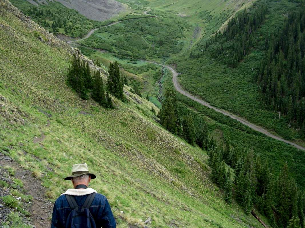
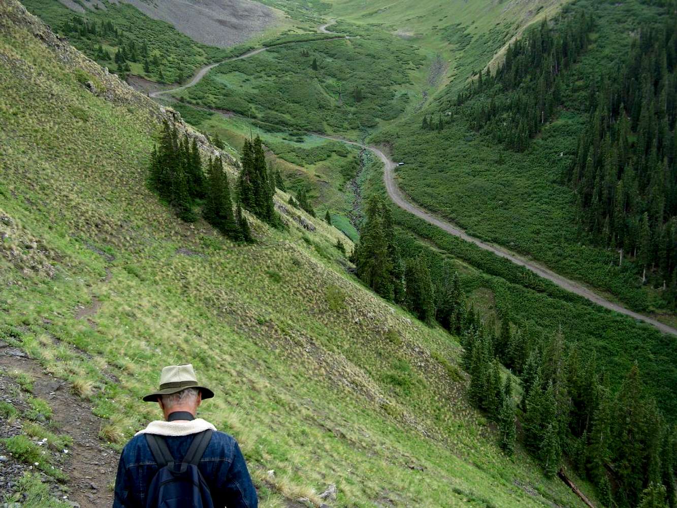
Where is this?Is the parking area here: [url]http://mapper.acme.com/?ll=37.81683,-107.56258&z=17&t=S[/url] ? I failed in my attempt to find a trailhead for the Old Hundred in 2006. Your photos make it look so simple.

gliderman - Dec 5, 2011 4:34 pm - Hasn't voted
Re: Where is this?Yes. On Google Maps the location is 37 degrees48'59.48"N and 107 degrees34'36.37" West. It is clearly marked on Google Maps, as is the mine. The trail is clearly visible on Google Maps, as also appears to be on mapper.acme.com.
gliderman - Dec 7, 2011 11:26 am - Hasn't voted
Re: Where is this?Jackson,
I tried to reply to your email sent to my personal account, but my nreply came back as not replyable from summitpost, so I'll try this avenue...
I'm pretty sure what might look like a lower trail to the mine really isn't one. Your Chevy must have a much larger turn radius than my F-150. On the Cinnamon Pass road I can make all turns with no back up required, or if there is another vehichle there, maybe a 4-6 ft single backup. Coming down from the Old 100, there IS one sharp right turn that I do need to do a back up on tho. It is tight even for Jeeps. The areas where you can park for the Old 100 trail provide plenty of room for turning around. Plus, about 1/2 mile further the area opens up at the mine area, and you could turn around an 18 wheeler there.
I plan to look more into Acme mapper. Thanks for sharing that one with me.
Check out the Photo Gallery on the left side of the Seniors Outdoors web page. There are photos of many of our hikes, which can give you an idea of what we get into. Visitors are welcome, so perhaps some day when you plan to get back to the area you could contact me and could go along on one of our hikes as a guest (and your wife, too, if she ws so inclined). There is also a list of outings, which changes with the season. Late spring, summer, and early fall is mostly hiking, late fall, winter, and early spring is mostly skiing, snowshoeing, etc, which is what is listed right now. Checking back in the spring will show the 1st part of the summer schedule again.
You said "not being a local". That puts you in the majority of folks. The local economy thrives on that. I'm a retired college prof and spend about 5 months in summers in our cabin in the Vallecito Valley, 30 miles NE of Durango, and the rest of the year in the Phoenix valley. Where are you located? Plase reply from your personal email to mine.
Cheers,
Bob T.
soaring19@gmail.com


Comments
Post a Comment