Toggle navigation
Mountains
Routes
Images
Trip Reports
Forum
What's New
People
Areas & Ranges
Articles
Trailheads
Canyons
Huts & Campgrounds
Albums
Logistical Centers
Fact Sheets
Lists
Custom Objects
Gear
Plans & Partners
WELCOME TO SUMMITPOST
SIGN IN
REGISTER
Wasatch Range (South)
Additional Parents
Image
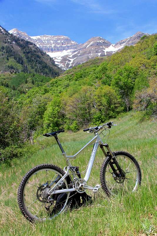
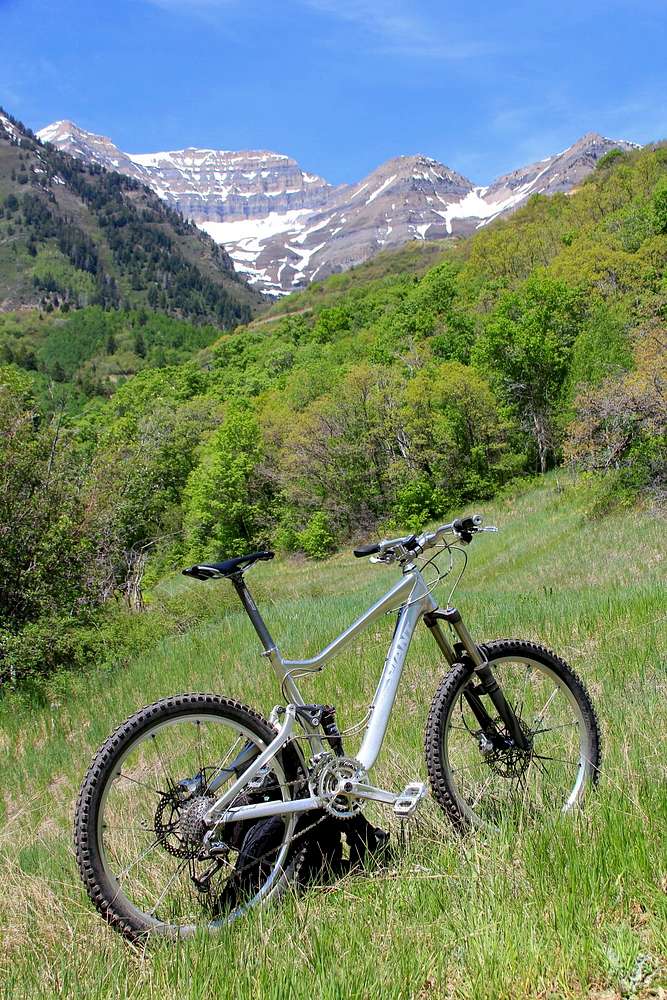
Looking at Timp.
View High-Resolution Image
Looking at Timp.
This photo was taken near Scott's Pond and Sundance Peak. The route up from Sundance on Archie's Loop was about 4 miles one way, and less than half a mile on foot. Neat area, prime trail system for those who like fat tires. 5-20-2012.
« PREV
NEXT »
Wasatch Summits
on
May 20, 2012 5:58 pm
Comments & voting
Other parents
Image ID:
790904
669 Hits
72.08
% Score
2
Votes
Log in to vote
Comments
No comments posted yet.
to post!
Don't have an account?
Wasatch Range (South)
(Area/Range)
« PREV
Viewing
#63 of 67
GALLERY
NEXT »
Wasatch Summits's Image Gallery
« PREV
Viewing
#349 of 411
GALLERY
NEXT »
×
You need to login in order to vote!
User Name
Password
Remember me
Forgot your password?
Log me out when I close my browser.
Keep me logged in all the time.
sign in as a user
Don't have an account?
Register now for FREE
Rating available
Suggested routes for you
People who climb the same things as you
Comments Available
Create Albums
Register Here


