
Viewing: 1-2 of 2

Kane - Oct 8, 2003 11:35 pm - Voted 10/10
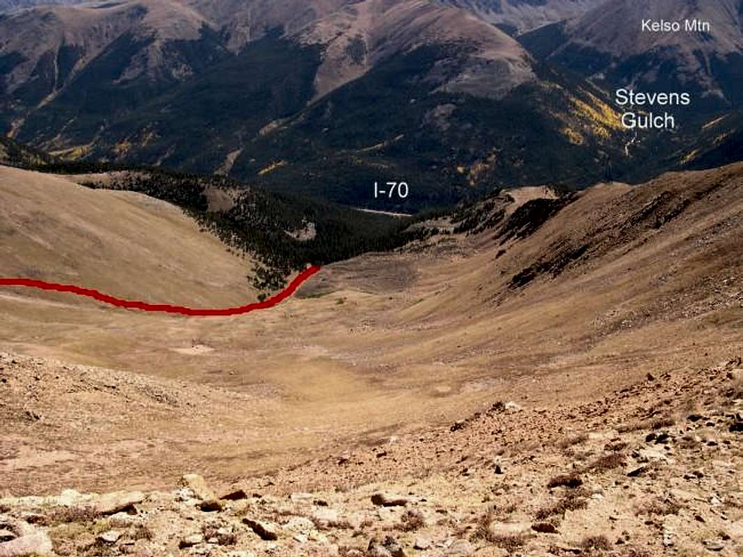
Good job.This is an excellent image dipicting the vicinity of Bard Peak to one of Colorado's busiest TH, Stevens Gulch. Steven's Gulch is the starting point for the standard route up Grays Peak and Torrys Peak.

Aaron Johnson - Oct 13, 2003 8:15 am - Voted 10/10
Bard Peak TrailThe very scketchy Bard Peak trail comes around the south flank of Mount parnassus via a flat tundra area near the upper right hand corner of this shot. It angles down across the boulder field and more tundra to join Grant's route seen in this picture.
Viewing: 1-2 of 2


Comments
Post a Comment