Toggle navigation
Mountains
Routes
Images
Trip Reports
Forum
What's New
People
Areas & Ranges
Articles
Trailheads
Canyons
Huts & Campgrounds
Albums
Logistical Centers
Fact Sheets
Lists
Custom Objects
Gear
Plans & Partners
WELCOME TO SUMMITPOST
SIGN IN
REGISTER
Grandeur Peak
Additional Parents
Image
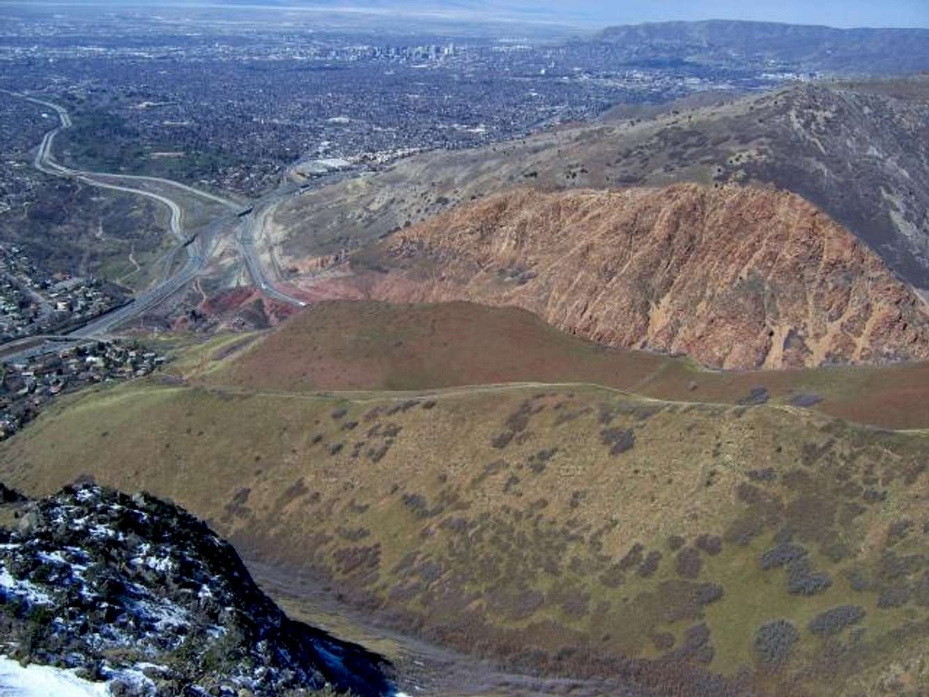
Looking down on the Salt Lake...
View High-Resolution Image
Looking down on the Salt Lake...
Looking down on the Salt Lake valley from the top of the Dragon's Tail rockband. The standard
West Slopes
route follows the ridge at lower center.
March 19, 2005
« PREV
NEXT »
Joseph Bullough
on
Mar 23, 2005 10:17 am
Comments & voting
Other parents
Lat/Lon:
40.70700°N / 111.7592°W
Image ID:
96601
3640 Hits
73.59
% Score
4
Votes
Log in to vote
Comments
No comments posted yet.
to post!
Don't have an account?
Grandeur Peak
(Mountain/Rock)
« PREV
Viewing
#45 of 108
GALLERY
NEXT »
Joseph Bullough's Image Gallery
« PREV
Viewing
#488 of 682
GALLERY
NEXT »
Dragon's Tail Ridge
(Route)
Loading....
×
You need to login in order to vote!
User Name
Password
Remember me
Forgot your password?
Log me out when I close my browser.
Keep me logged in all the time.
sign in as a user
Don't have an account?
Register now for FREE
Rating available
Suggested routes for you
People who climb the same things as you
Comments Available
Create Albums
Register Here


