

Viewing: 1-2 of 2
marauders - Apr 10, 2005 12:37 am - Hasn't voted
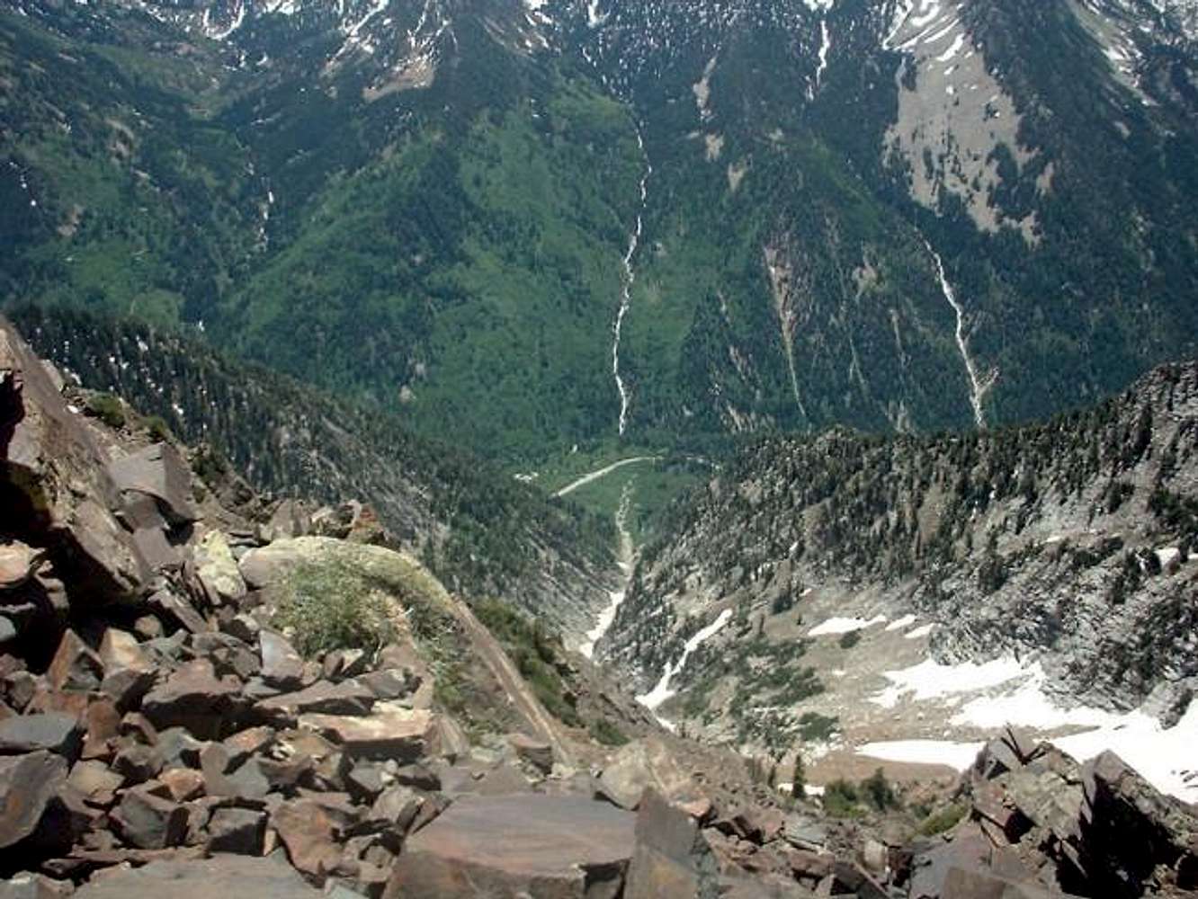
Wow!!!!!What an incredible view of Tanner's Gulch! Seeing the ribbon of road at the bottom greatly enhances the depth of the picture. Great shot!

Scott - Apr 10, 2005 1:02 am - Voted 10/10
Re: Wow!!!!!I agree; nice pic.
Hard to believe the road is over 4000 feet below. The steepness of gully shows in the photo and it is easy to see why tremendous avalanches bury the road below every winter and spring. Also, 2003 must have been a very dry year as this looks like normal late-June or even early July conditions!
Viewing: 1-2 of 2


Comments
Post a Comment