Looking Southward from Saint Barthélemy hanging valley

Looking Southward from Saint Barthélemy hanging valley

Looking Southward at the blue hour from the snowy meadows of Saint Barthélemy hanging valley, above the limit of the wood.
From left to right one can recognize the outline of:
a) Mont Delà 3139m
b) Monte Rafray 3145m
c) Bec de Viot 3050m
d) Monte Moussaillon 3073m
e) Torre Ponton 3101m
f)  Torre Pontonnet 3173m
g) Tersiva 3512m
h) Punta Tessonet 3264m
As pointed out by Osvaldo Cardellina, along the ridge, between Tersiva and Punta Tessonet, there is also another summit, the Costa del Tessonet 3313m and under it,
on the St. Marcel side, the Punta Plan Rué 2883m and the rounded Mont Corquet 2530m
December 7, 2018


livioz
on Jan 25, 2019 5:41 pm
Image Type(s): Informational,  Scenery
Image ID: 1029225

Comments

Post a Comment
Viewing: 1-1 of 1
OsvaldoCardellina

OsvaldoCardellina - Feb 14, 2019 12:37 am - Voted 10/10
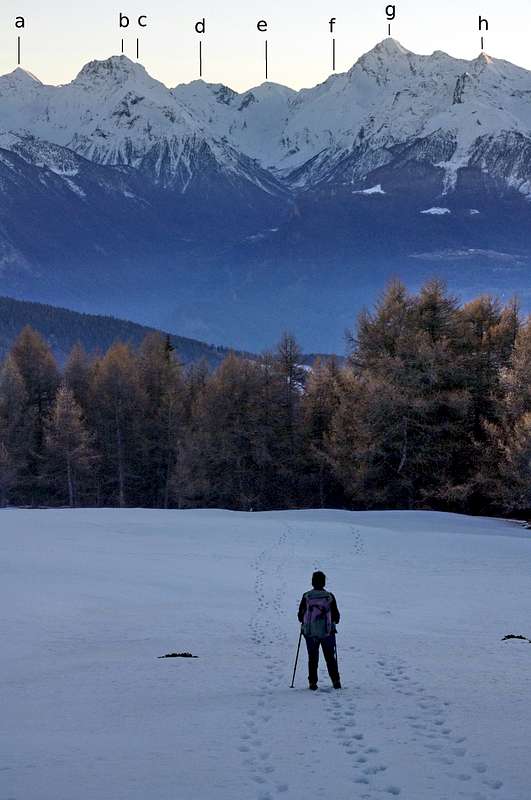
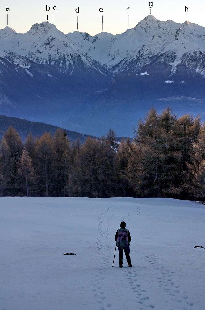
Tersiva & Tessonet

Tra le due vi é la Costa del Tessonet (3313 m, che Bobba e Pession in RM 1902 erroneamente chiamavano Costa Tersiva. Vedi in C.A.I./T.C.I. la guida "Emilius Rosa dei Banchi" di Berutto-Fornelli in pagina 155 conl'itinerario "79c, concernente la Punta Tessonet "Per la cresta SE") ed appena al di sotto la Punta Plan Rué (versante St. Marcel) od in loco Fénis Tita de la Rossa (2877 m, parete verticale a sinistra od Est), nonché il panettone del Mont Corquet (2530 m). Vai a vedere la posta che ti ho lasciato un messaggio ...
CIAO ancora, osw

Viewing: 1-1 of 1