
Viewing: 1-2 of 2

Bob Bolton - Feb 8, 2007 12:00 am - Voted 10/10
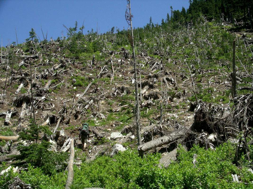
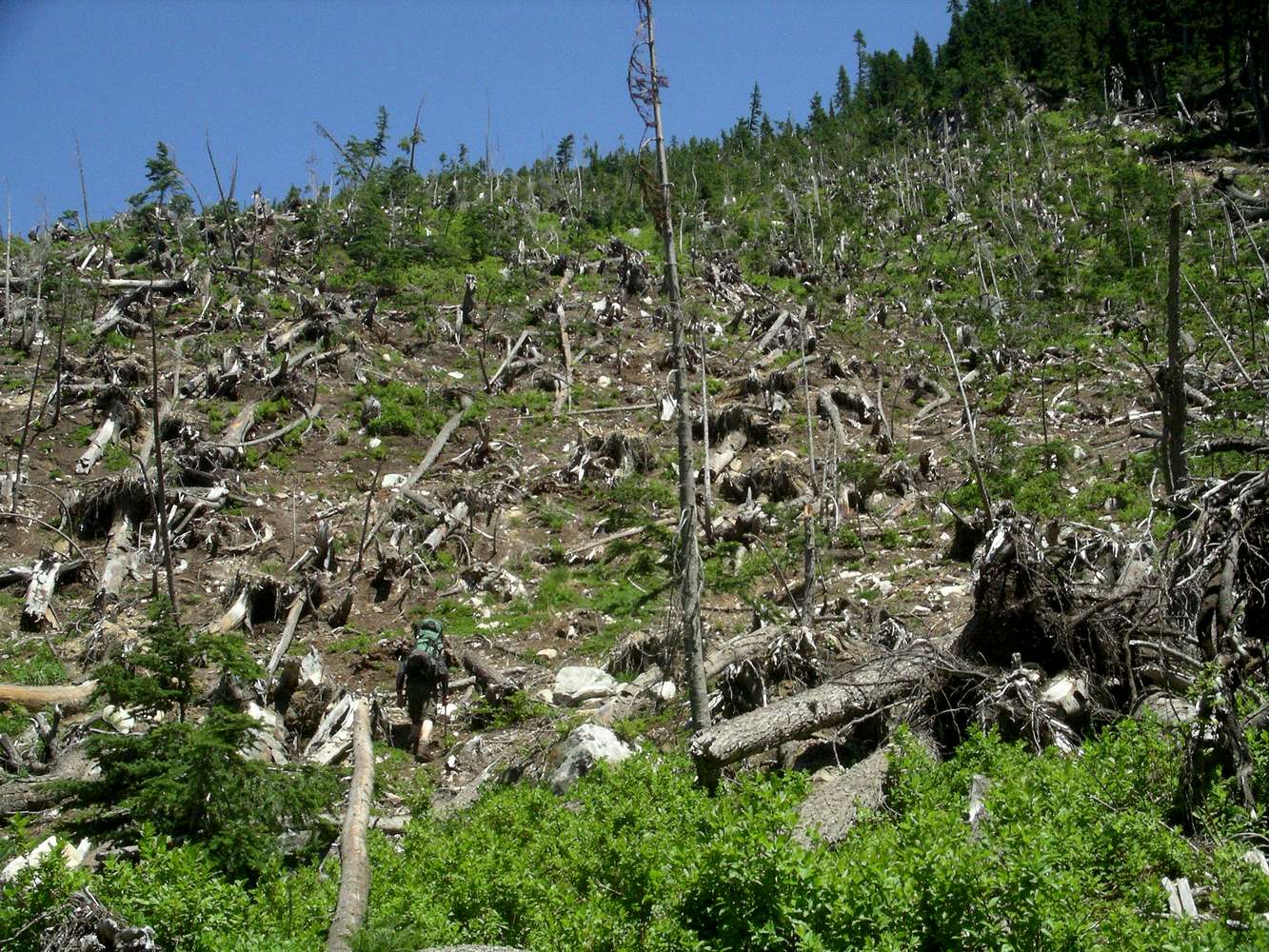
Incredible!Could you pinpoint the location of this avalanche on Topozone.com and post the URL? This is amazing! -Bob

mt_daydream - Jul 3, 2007 5:11 am - Hasn't voted
Re: Incredible!Really sorry Bob, I didn't notice your post until recently. If I recall correctly, the avy zone is somewhere on this slope. We went to the top of the ridge, and followed the right fork of Bacherlor's Creek SE towards the ridge top from where we could see Cub/Itswood lakes. One could bypass this part by going straight up one of the gullies to the right of Bachelors creek at the flat portion (~4500 elevation), bearing straight East towards Cub/Itswook lakes. We did that on our way down by mistake (As we lost the trail :).
Viewing: 1-2 of 2


Comments
Post a Comment