Toggle navigation
Mountains
Routes
Images
Trip Reports
Forum
What's New
People
Areas & Ranges
Articles
Trailheads
Canyons
Huts & Campgrounds
Albums
Logistical Centers
Fact Sheets
Lists
Custom Objects
Gear
Plans & Partners
WELCOME TO SUMMITPOST
SIGN IN
REGISTER
Medicine Bow Peak
Additional Parents
Image
Medicine Bow Peak from the...
View High-Resolution Image
Medicine Bow Peak from the...
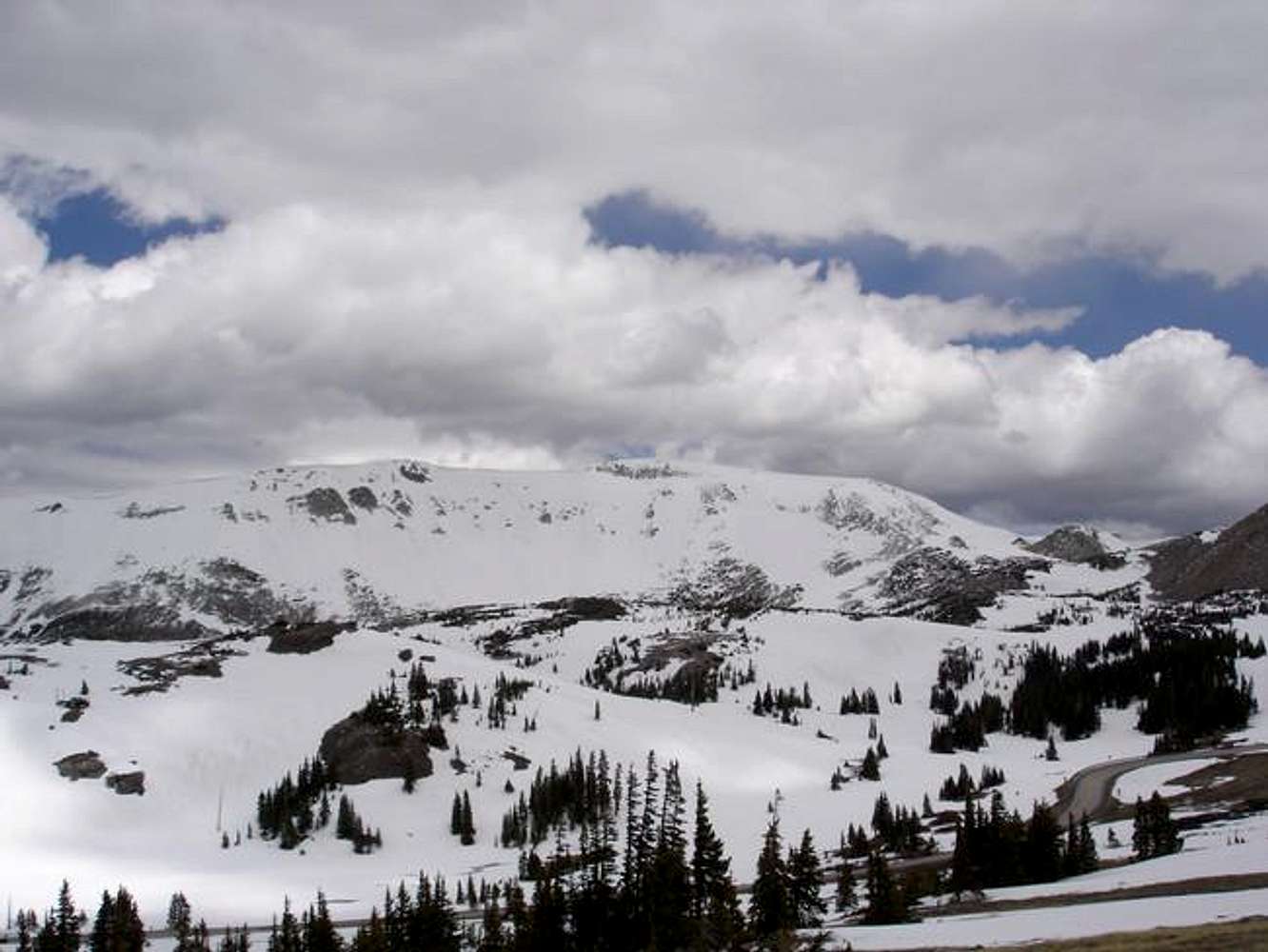
Medicine Bow Peak from the road out: Highway 130. June 11, 2005. This photo was taken at 10:13 AM, and the skies were clear at dawn. Stormclouds brew fast this time of year!
« PREV
NEXT »
Trevor Simmons
on
Jun 16, 2005 10:40 pm
Comments & voting
Other parents
Lat/Lon:
41.36100°N / 106.318°W
Image ID:
110559
1301 Hits
72.07
% Score
2
Votes
Log in to vote
Comments
No comments posted yet.
to post!
Don't have an account?
Medicine Bow Peak
(Mountain/Rock)
« PREV
Viewing
#141 of 196
GALLERY
NEXT »
Trevor Simmons's Image Gallery
« PREV
Viewing
#228 of 288
GALLERY
NEXT »
×
You need to login in order to vote!
User Name
Password
Remember me
Forgot your password?
Log me out when I close my browser.
Keep me logged in all the time.
sign in as a user
Don't have an account?
Register now for FREE
Rating available
Suggested routes for you
People who climb the same things as you
Comments Available
Create Albums
Register Here


